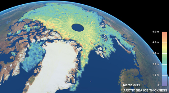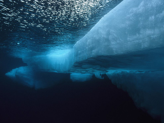
Since 2010, the ESA’s Cryosat mission has meticulously tracked Arctic sea ice, monitoring changes in thickness and shape.
The ESA’s Cryosat mission has been watching the Arctic sea ice with a high degree of precision ever since it was launched in 2010 to monitor the changes in the thickness and shape of polar ice. It’s taken two years for scientists to tackle the amount of data that Cryosat generated.
They reported an unprecedented view of the seasonal growth and retreat of sea ice spanning the entire Arctic basin. They also released a map showing the difference in height across the Greenland ice sheet.

Several other satellites have already detailed the rapid erosion of summer sea ice since the Arctic has warmed, but Cryosat provides a means to get a figure for the ice volume, which is far more significant to allow scientists to understand the long-term viability of the ice.
Cryosat carries one of the highest resolution synthetic aperture radars ever put into orbit. The radar sends down pulses of microwave energy that bounce off both the top of the ice and the water in the cracks, which separate the floes. By measuring the difference in height between these two surfaces, it’s easily possible to get an accurate approximation of the volume of the marine cover.
The new data shows an entire seasonal cycle for the Arctic ice, spanning from October 2010 to March 2011, and approximates the total volume of sea ice in the central Arctic at 14,500 cubic kilometers.


Fascinating pictures. But being that this wasn’t taken by a camera over the pole, why the hole?