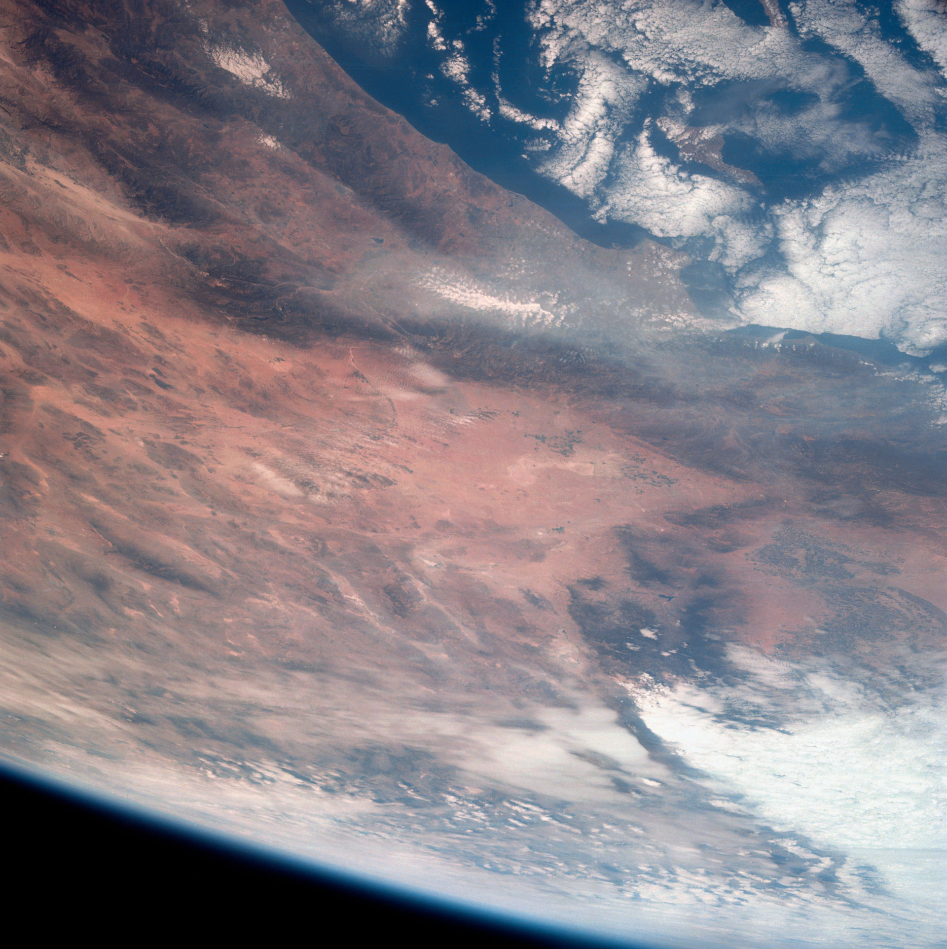
View of southern California photographed from an altitude of 124 nautical miles (230 kilometers). Credit: NASA
This view of southern California was taken by the Apollo 7 crew during their 18th revolution of the Earth, on October 12, 1968. Photographed from an altitude of 124 nautical miles (230 kilometers), the coast of California can be seen from Point Mugu southward to Oceanside. Santa Catalina can be seen below the offshore clouds. Details of the Los Angeles area are obscured by pollution which extends from Banning westward for 100 miles (161 kilometers) to beyond Malibu. In the upper portion of the photograph can be seen (left to right) the San Joaquin Valley beyond Bakersfield, the Techachapi Mountains, the Sierra Nevada, Owens Valley, Death Valley, and the Mojave Desert.
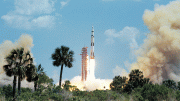
Apollo 7, which launched on October 11, 1968, and was nicknamed “The Walt, Wally and Donn Show,” was the first crewed Apollo mission to launch. The mission demonstrated the capabilities of the Command and Service Module, mission support facilities’ performance during a crewed mission, and Apollo rendezvous capability, as well as the first live TV broadcasts from space.


Be the first to comment on "Apollo 7 Views Southern California"