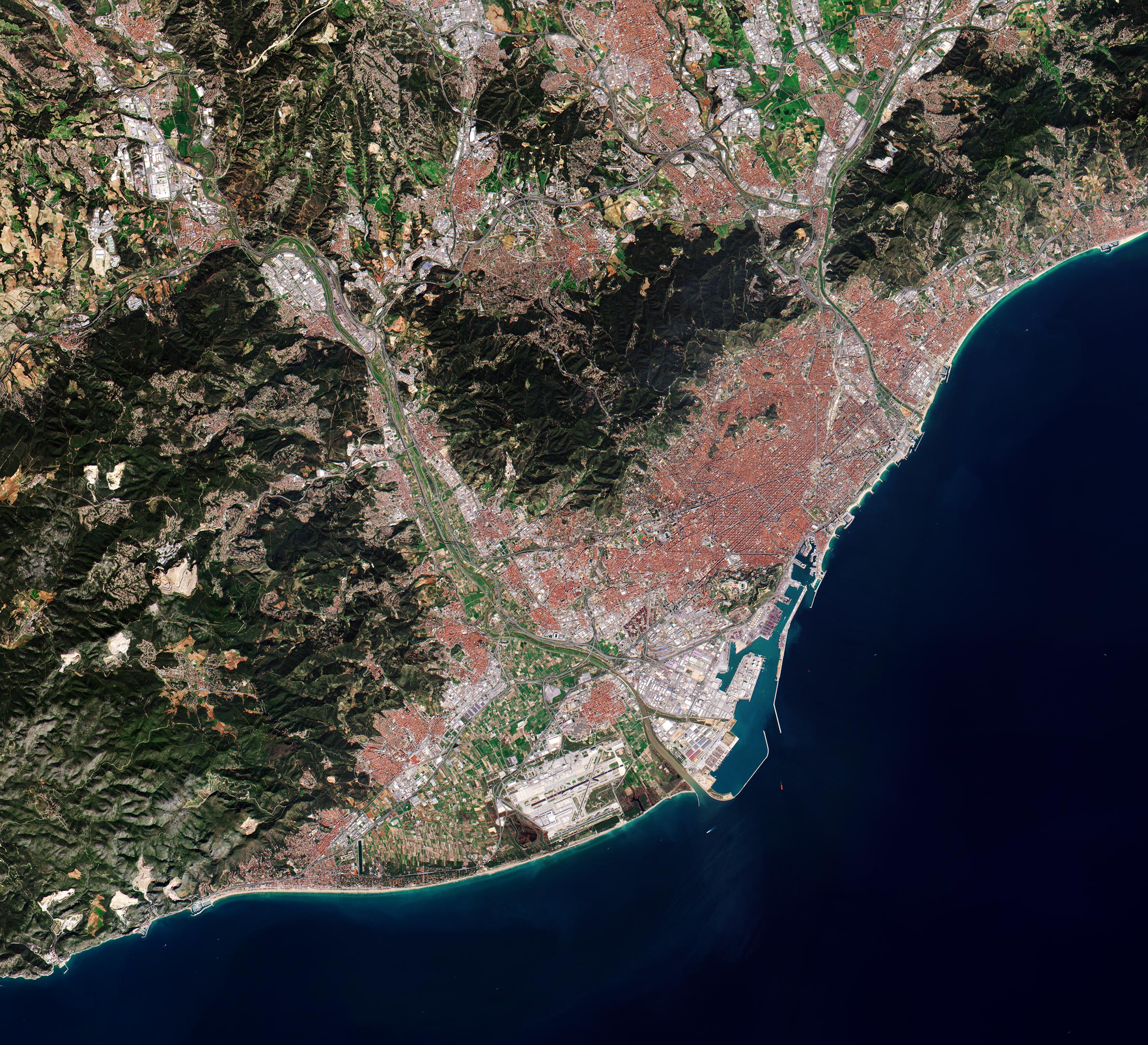
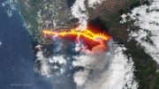
(Click image for full view.) This image, which was captured by the Copernicus Sentinel-2 mission on March 16, 2017, takes us over Barcelona – the second largest city in Spain. Credit: Contains modified Copernicus Sentinel data (2017), processed by ESA, CC BY-SA 3.0 IGO
The Copernicus Sentinel-2 mission takes us over Barcelona – the second largest city in Spain.
On the northeast coast of the Iberian Peninsula, Barcelona occupies a low plateau along the Mediterranean coastal plain. The city and its red roofs contrast with the forested hills and the sea that surround it.
The famous Avinguda Diagonal avenue can be seen in the right of the image. The road is one of Barcelona’s broadest avenues and cuts the city diagonally in two, hence its name. The circular Plaça de les Glòries Catalanes was meant to be the city center in the original urban plan, but nowadays is used largely as a roundabout.
Dominating the left side of the image are the Garraf Massif mountains, their cliffs reaching the Mediterranean coast. Its highest point on the coastal side is La Morella – almost 600 m above sea level.
The Llobregat River can be seen entering the image in the top left. The river rises in the eastern Pyrenees and flows southeast before emptying into the Mediterranean Sea. Before reaching the sea, the river forms a small delta, which used to provide a large extension of fertile land but is now largely urbanized. Barcelona-El Prat airport can be seen to the left of the river. Along the coast, the port of Barcelona, one of Europe’s top ten largest container ports, is visible.
Barcelona is home to the Universitat Politècnica de Catalunya – the largest engineering university in Catalonia. In 2017, the university won ESA’s Small Satellite Challenge and the top prize at the Copernicus Masters competition with its Federated Satellite Systems (FSSCat) project. The FSSCat mission consists of two small CubeSat satellites, each about the size of a shoebox, and will use state-of-the-art dual microwave and multispectral optical sensors.
Ф-sat-1 – an enhancement of FSSCat carried on one of the two CubeSats – is set to launch soon from Europe’s spaceport in Kourou. It will be the first experiment to demonstrate how artificial intelligence can be used for Earth observation. Ф-sat-1 will have the ability to filter out less than perfect images so that only usable data are returned to Earth. This will allow for the efficient handling of data so that users will have access to timely information – ultimately benefiting society at large.
Ф-sat-1 will acquire an enormous number of images that will allow scientists to detect urban heat islands, monitor changes in vegetation and water quality, as well as carry out experiments on the role of evapotranspiration in climate change.


Nice picture from the satellite actually and I could only imagine how cool is to live there. I found interesting information about the national tax identification number (NIE) at https://virtoproperty.com/info/spanish-nie-number-guide-how-to-do-your-nie-application maybe this could be useful. I wish one day to buy a home near the Spanish coast.