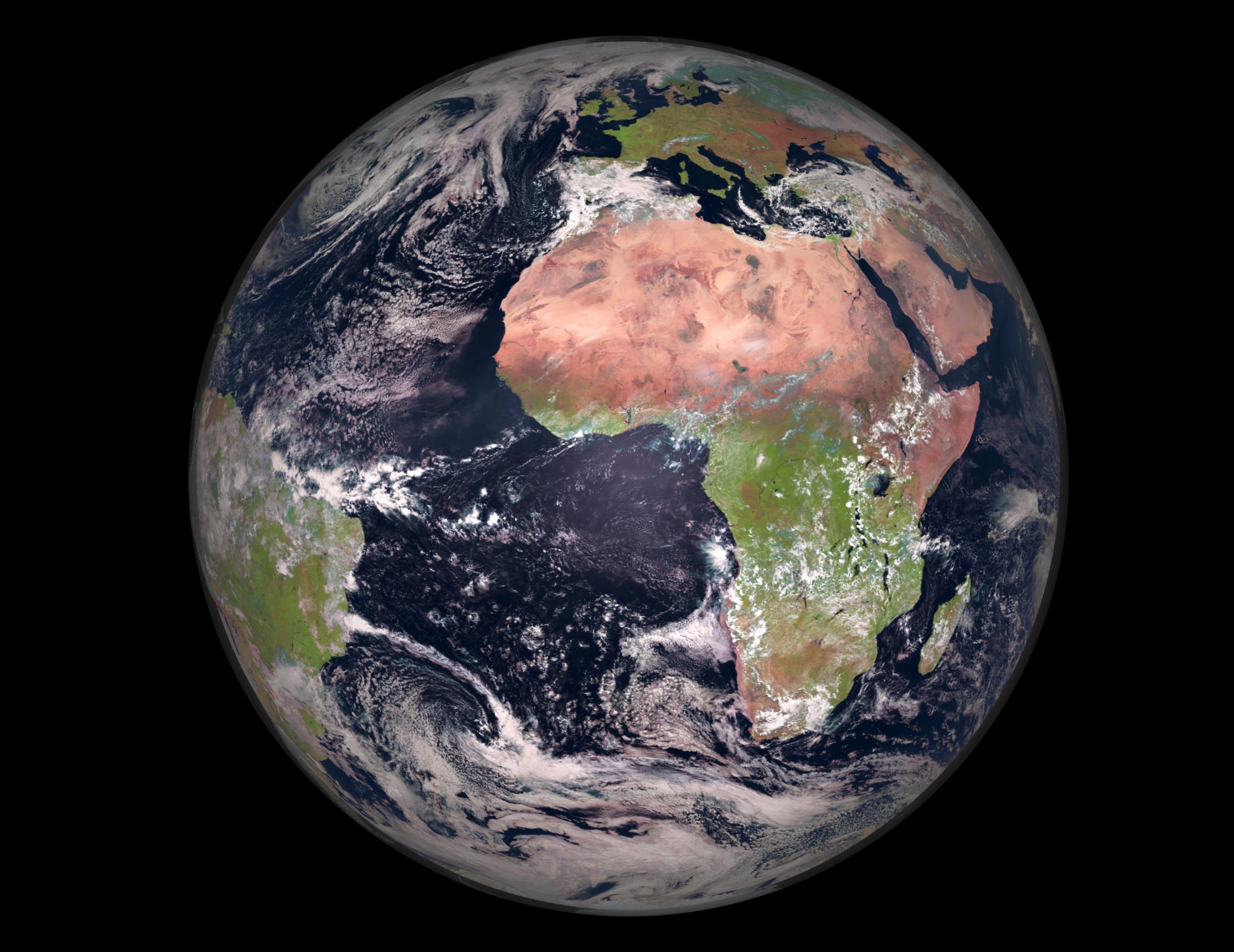
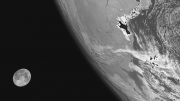
This spectacular image of Earth was captured by the Meteosat Second Generation series of missions on March 23, 2022. Satellites provide essential information for everyday applications, improving agricultural practices, to help when disasters strike, and thanks to the Meteosat series, provide crucial data for weather forecasting. Credit: EUMETSAT/ESA
Every year on April 22, people all over the world come together to raise awareness about the decreasing quality of the environment, the unmistakable effects of climate change, and the critical significance of conserving our planet for future generations. At ESA (European Space Agency), they celebrate Earth Day every day. This week, this magnificent view of Earth is brought to you by the Meteosat Second Generation series of missions.
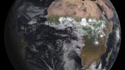
Because of Earth-observing satellites in orbit, we can understand the intricacies of our planet’s system and answer crucial questions on how natural processes are changing due to the everyday pressure of human activity. Satellites provide vital information for everyday applications, enhancing agricultural practices, assisting in disaster relief, and thanks to the Meteosat series, provide critical data for weather forecasting.
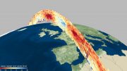
Given that extreme weather and severe storms pose significant and increasing hazards to society, the Meteosat satellites provide detailed, full disc imagery over Europe and Africa every 15 minutes and rapid scan imagery over Europe every five minutes.
This imagery is crucial for nowcasting, which is about detecting rapidly high impact weather and predicting its evolution a few hours ahead, in support of the safety of life and property. These observations are also used for weather forecasting and climate monitoring.
The Meteosat missions have guaranteed the continuous flow of data for weather forecasting since 1977, and later this year, we will soon begin a new era in weather and climate monitoring with Meteosat Third Generation (MTG).
The third generation will not only guarantee the continuity of data for weather forecasting, but offer significant enhancement of the current imager capabilities, an all-new infrared sounding capability, and real-time lightning imaging for early detection of severe storms as they develop.
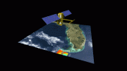
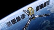
For the overall MTG mission two types of satellite are being developed; the Imaging satellite (MTG-I) and the Sounding Satellite (MTG-S). MTG-I1 is currently at Thales Alenia Space’s facilities in Cannes, France, undergoing an extensive testing campaign to ensure that the satellite will survive the rigors of the launch and the hostile environment of space.
MTG is a cooperation between ESA and the European Organization for the Exploitation of Meteorological Satellites (Eumetsat). ESA is responsible for the definition and implementation of the MTG satellites and procurement of recurrent hardware, while Eumetsat is in charge of operating the spacecraft throughout its lifetime as well as data retrieval, processing, and distribution.
The image is also featured on the Earth From Space video program embedded above.

Be the first to comment on "Exploring Earth From Space: Earth Day [Video]"