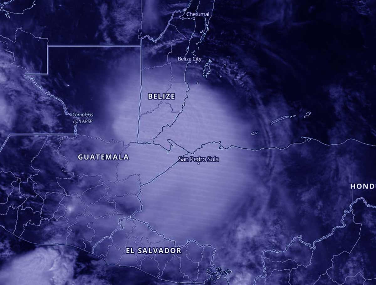
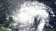
NASA-NOAA’s Suomi NPP satellite passed over the Caribbean Sea overnight on September 3 at 3:25 a.m. EDT (0725 UTC) and captured a nighttime image of Hurricane Nana just after it made landfall in southern Belize. Credit: NASA Worldview, Earth Observing System Data and Information System (EOSDIS)
NASA-NOAA’s Suomi NPP satellite provided a nighttime look at Hurricane Nana just after it began making landfall in Belize.
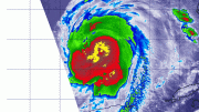
At 11 p.m. EDT on September 2, Nana strengthened to a Category 1 hurricane on the Saffir-Simpson hurricane wind scale. It had maximum sustained winds near 75 mph (120 kph). At the time, it was just 60 miles (95 km) southeast of Belize City, Belize. At 2 a.m. EDT on September 3, Hurricane Nana made landfall on the coast of Belize between Dangriga and Placencia with maximum sustained winds near 75 mph (120 kph). By 5 a.m. EDT, the storm had weakened to a tropical storm as it continued to move inland.
NASA’s Night-Time View of Nana’s Landfall
The Visible Infrared Imaging Radiometer Suite (VIIRS) instrument aboard NASA-NOAA’s Suomi NPP satellite passed the Caribbean Sea overnight on September 3 at 3:25 a.m. EDT (0725 UTC) and captured a nighttime image of Hurricane Nana just after making landfall in southern Belize. Bands of thunderstorms wrapped around the storm’s center and extended into the Caribbean Sea. At NASA’s Goddard Space Flight Center in Greenbelt, Md., the imagery was created using the NASA Worldview application.
Warnings and Watches on September 3
NOAA’s National Hurricane Center (NHC) noted on September 3 that a Tropical Storm Warning is in effect for the Caribbean Sea coast of Guatemala, Isla Roatan and the Bay Islands of Honduras. A Tropical Storm Watch is in effect for the northern coast of Honduras from Punta Patuca westward to the Guatemala border.
Tropical Storm Nana’s Status on September 3
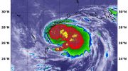
At 8 a.m. EDT (1200 UTC) on September 3, the center of Tropical Storm Nana was located near latitude 16.6 north, longitude 89.7 west. Nana is moving toward the west-southwest near 15 mph (24 kph), and this general motion is expected to continue through today with some decrease in forward speed. Maximum sustained winds have decreased to near 60 mph (95 kph) with higher gusts. The estimated minimum central pressure is 1000 millibars.
Nana’s Fated Forecast
On the forecast track, Nana will continue to move inland over Guatemala and extreme southeastern Mexico today and tonight. Rapid weakening is forecast today and tonight, and Nana will likely become a remnant low-pressure area on Friday, September 4.
About NASA’s EOSDIS Worldview
NASA’s Earth Observing System Data and Information System (EOSDIS) Worldview application provides the capability to interactively browse over 700 global, full-resolution satellite imagery layers and then download the underlying data. Many of the available imagery layers are updated within three hours of observation, essentially showing the entire Earth as it looks “right now.”
NASA Researches Earth from Space
For more than five decades, NASA has used the vantage point of space to understand and explore our home planet, improve lives and safeguard our future. NASA brings together technology, science, and unique global Earth observations to provide societal benefits and strengthen our nation. Advancing knowledge of our home planet contributes directly to America’s leadership in space and scientific exploration.

Be the first to comment on "Hurricane Nana Caught Making Landfall Under Cover of Night by NASA-NOAA Satellite"