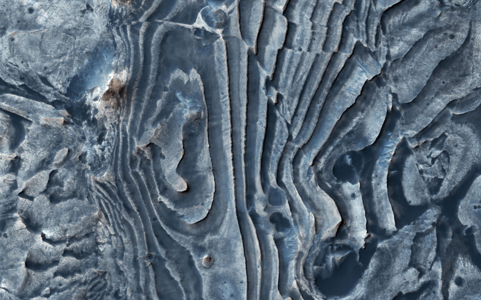
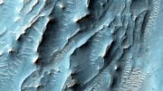
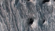
The image of the northern Meridiani Planum on Mars reveals faults that have disturbed layered deposits, resulting in clean breaks along the layers and displacement of individual beds. Credit: NASA/JPL-Caltech/University of Arizona
This image from NASA’s Mars Reconnaissance Orbiter (MRO) of northern Meridiani Planum shows faults that have disrupted layered deposits. Some of the faults produced a clean break along the layers, displacing and offsetting individual beds (yellow arrow).
Interestingly, the layers continue across the fault and appear stretched out (green arrow). These observations suggest that some of the faulting occurred while the layered deposits were still soft and could undergo deformation, whereas other faults formed later when the layers must have been solidified and produced a clean break.
The map is projected here at a scale of 50 centimeters (19.7 inches) per pixel. The original image scale is 54.6 centimeters (21.5 inches) per pixel (with 2 x 2 binning); objects on the order of 164 centimeters (64.6 inches) across are resolved. North is up.
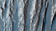
This is a stereo pair with ESP_053038_1835.
The University of Arizona, Tucson, operates HiRISE, which was built by Ball Aerospace & Technologies Corp., Boulder, Colorado. NASA’s Jet Propulsion Laboratory, a division of Caltech in Pasadena, California, manages the Mars Reconnaissance Orbiter Project for NASA’s Science Mission Directorate, Washington.


Be the first to comment on "Mars Reconnaissance Orbiter Views Faults in Northern Meridiani Planum"