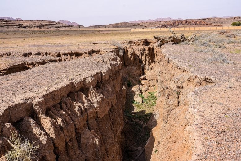
A historic Myanmar earthquake was caught on CCTV, revealing the fault moving 2.5 meters in just 1.3 seconds.
The rare footage confirmed a pulse-like rupture and a curved slip path, offering groundbreaking clues for earthquake science.
Powerful Earthquake Shakes Central Myanmar
During the midday Friday prayer period on March 28, 2025, a powerful magnitude 7.7 earthquake struck central Myanmar along the Sagaing Fault. The epicenter was located near Mandalay, the nation’s second-largest city, and the event became the strongest earthquake to hit Myanmar in over 100 years, as well as the second deadliest in the country’s modern era.
The quake occurred along a strike-slip fault, where two large blocks of the Earth’s crust slide past each other horizontally along a vertical fracture. From a viewer’s perspective, it would resemble the ground splitting along a distinct line, with each side shifting in opposite directions.
Earlier research based on seismic data had suggested that such quakes can produce a pulse-like rupture and follow slightly curved paths. However, because the seismic instruments were far from the fault during past events, these conclusions were indirect.
Caught on Camera: A Rare Opportunity
This time, a CCTV camera happened to capture the fault movement as it happened, giving scientists at Kyoto University a rare chance to observe the rupture in real time.
By using a method called pixel cross-correlation, the team studied the footage frame by frame to track the motion of the fault. Their analysis showed the ground shifted sideways by 2.5 meters in just 1.3 seconds, reaching a maximum speed of 3.2 meters per second. While the overall sideways displacement is typical for strike-slip earthquakes, the extremely brief duration of movement is a significant and unexpected finding.
Confirmation of Pulse-Like Rupture
“The brief duration of motion confirms a pulse-like rupture, characterized by a concentrated burst of slip propagating along the fault, much like a ripple traveling down a rug when flicked from one end,” says corresponding author Jesse Kearse.
The team’s analysis also proves that the slip path was subtly curved, a finding that aligns with previous geological observations from faults around the world. This may suggest that such slips are typically curved, as opposed to being completely linear.
A New Tool for Earthquake Science
The study demonstrates that video-based monitoring of faults is a powerful tool for seismology, enabling unprecedented insights into earthquake behavior. Capturing this level of detail is fundamental to improving our understanding of earthquake processes and enhancing our ability to anticipate the ground shaking expected in future large events.
“We did not anticipate that this video record would provide such a rich variety of detailed observations. Such kinematic data is critical for advancing our understanding of earthquake source physics,” says Kearse.
Next Steps: Modeling Fault Behavior
The next phase of their research will utilize physics-based models to investigate the factors that control fault behavior as revealed by this analysis.
Explore Further: Caught on Camera: Rare Footage Reveals How a Giant Earthquake Tore the Earth in Seconds
Reference: “Curved Fault Slip Captured by CCTV Video During the 2025 Mw 7.7 Myanmar Earthquake” by Jesse Kearse and Yoshihiro Kaneko, 18 July 2025, The Seismic Record.
DOI: 10.1785/0320250024
Never miss a breakthrough: Join the SciTechDaily newsletter.
3 Comments
Disastrous activities need wide range of studies for the safeguard of life and property. I am studying this critical subject with reference to my study and experience in the field of Geology and Astrology since last 40 years. Just waiting for proper platform to make it more useful and guiding factor. Please.
Thanks.
The lede picture doesn’t look like Myranmar. In my opinion, showing pictures of places other than where an event took place is rarely justified.
I live in Myanmar away from earth quake. The picture is definitely not Myanmar country side. It covers large area but there is no trees. We do have very hot and dry areas where the earth quake take place. But not in the scale of this photo.