
The SWOT satellite captured a tsunami in Greenland’s Dickson Fjord, triggered by a massive rockslide in 2023.
Over nine days, the water sloshed dramatically back every 90 seconds due to the fjord’s enclosed structure, demonstrating SWOT’s advanced capabilities in monitoring detailed water levels and aiding in disaster preparedness.
Dickson Fjord Tsunami
In September 2023, the international Surface Water and Ocean Topography (SWOT) satellite mission—a joint effort between NASA and France’s Centre National d’Études Spatiales (CNES)—captured the unusual contours of a tsunami confined within the steep walls of a fjord in Greenland. This rare event was triggered by a massive rockslide, generating a seismic wave that reverberated globally for nine days. After a year of detailed data analysis, an international team of seismologists, geophysicists, and oceanographers released their findings on this event.
The SWOT satellite measured water elevation in Dickson Fjord on September 17, 2023, a day after the rockslide and resulting tsunami. These readings were compared with earlier data collected under normal conditions on August 6, 2023.
Advances in Water Level Detection Technology
In the data visualization (above), colors toward the red end of the scale indicate higher water levels, and blue colors indicate lower-than-normal levels. The data suggests that water levels at some points along the north side of the fjord were as much as 4 feet (1.2 meters) higher than on the south.
“SWOT happened to fly over at a time when the water had piled up pretty high against the north wall of the fjord,” said Josh Willis, a sea level researcher at NASA’s Jet Propulsion Laboratory in Southern California. “Seeing the shape of the wave — that’s something we could never do before SWOT.”
Geological Event Analysis Using Satellite Data
In a paper published recently in the journal Science, researchers traced a seismic signal back to a tsunami that began when more than 880 million cubic feet of rock and ice (25 million cubic meters) fell into Dickson Fjord. Part of a network of channels on Greenland’s eastern coast, the fjord is about 1,772 feet (540 meters) deep and 1.7 miles (2.7 kilometers) wide, with walls taller than 6,000 feet (1,830 meters).
Far from the open ocean, in a confined space, the energy of the tsunami’s motion had limited opportunity to dissipate, so the wave moved back and forth about every 90 seconds for nine days. It caused tremors recorded on seismic instruments thousands of miles away.
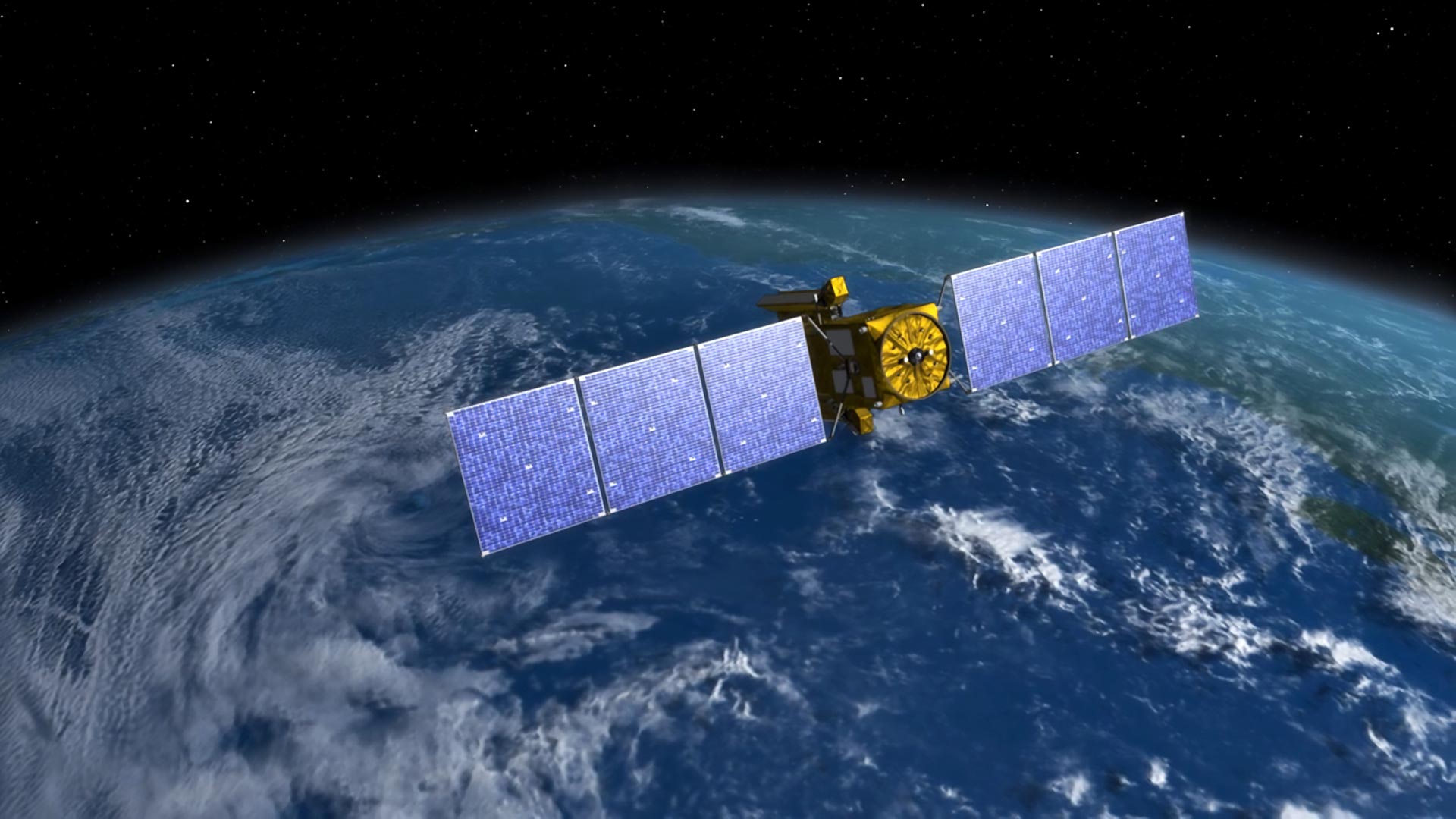
SWOT Satellite’s Advanced Measurement Capabilities
From about 560 miles (900 kilometers) above, SWOT uses its sophisticated Ka-band Radar Interferometer (KaRIn) instrument to measure the height of nearly all water on Earth’s surface, including the ocean and freshwater lakes, reservoirs, and rivers.
“This observation also shows SWOT’s ability to monitor hazards, potentially helping in disaster preparedness and risk reduction,” said SWOT program scientist Nadya Vinogradova Shiffer at NASA Headquarters in Washington.
It can also see into fjords, as it turns out.
“The KaRIn radar’s resolution was fine enough to make observations between the relatively narrow walls of the fjord,” said Lee-Lueng Fu, the SWOT project scientist. “The footprint of the conventional altimeters used to measure ocean height is too large to resolve such a small body of water.”
For more on this research, including images and video, see Shocking Waves From Greenland: The Tsunami Felt Around the World for 9 Days.
Reference: “A rockslide-generated tsunami in a Greenland fjord rang Earth for 9 days” by Kristian Svennevig, Stephen P. Hicks, Thomas Forbriger, Thomas Lecocq, Rudolf Widmer-Schnidrig, Anne Mangeney, Clément Hibert, Niels J. Korsgaard, Antoine Lucas, Claudio Satriano, Robert E. Anthony, Aurélien Mordret, Sven Schippkus, Søren Rysgaard, Wieter Boone, Steven J. Gibbons, Kristen L. Cook, Sylfest Glimsdal, Finn Løvholt, Koen Van Noten, Jelle D. Assink, Alexis Marboeuf, Anthony Lomax, Kris Vanneste, Taka’aki Taira, Matteo Spagnolo, Raphael De Plaen, Paula Koelemeijer, Carl Ebeling, Andrea Cannata, William D. Harcourt, David G. Cornwell, Corentin Caudron, Piero Poli, Pascal Bernard, Eric Larose, Eleonore Stutzmann, Peter H. Voss, Bjorn Lund, Flavio Cannavo, Manuel J. Castro-Díaz, Esteban Chaves, Trine Dahl-Jensen, Nicolas De Pinho Dias, Aline Déprez, Roeland Develter, Douglas Dreger, Läslo G. Evers, Enrique D. Fernández-Nieto, Ana M. G. Ferreira, Gareth Funning, Alice-Agnes Gabriel, Marc Hendrickx, Alan L. Kafka, Marie Keiding, Jeffrey Kerby, Shfaqat A. Khan, Andreas Kjær Dideriksen, Oliver D. Lamb, Tine B. Larsen, Bradley Lipovsky, Ikha Magdalena, Jean-Philippe Malet, Mikkel Myrup, Luis Rivera, Eugenio Ruiz-Castillo, Selina Wetter and Bastien Wirtz, 12 September 2024, Science.
DOI: 10.1126/science.adm9247
More About SWOT
The Surface Water and Ocean Topography (SWOT) satellite mission, launched in December 2022 from California’s Vandenberg Space Force Base, is an international collaboration focused on mapping and monitoring Earth’s water surfaces in unprecedented detail. A joint project led by NASA and France’s Centre National d’Études Spatiales (CNES), SWOT benefits from significant contributions by the Canadian Space Agency (CSA) and the UK Space Agency.
Currently in its operational phase, SWOT is collecting high-resolution data on the elevation and movement of water across the globe, serving both scientific research and broader applications. The mission’s U.S. component is managed by NASA’s Jet Propulsion Laboratory, operated by Caltech in Pasadena, California. To achieve its detailed observations, NASA contributed several key instruments, including the innovative Ka-band Radar Interferometer (KaRIn), which uses radar technology to precisely measure water elevation. Additional U.S. contributions include a GPS science receiver, a laser retroreflector, and a two-beam microwave radiometer.
CNES provided key technologies as well, such as the DORIS positioning system, the dual-frequency Poseidon altimeter developed with Thales Alenia Space, and the KaRIn radio-frequency subsystem, with additional support from the UK Space Agency. The Canadian Space Agency supplied the KaRIn high-power transmitter assembly, crucial for its enhanced radar capability. NASA also handled the mission’s launch vehicle and launch services through its Launch Services Program, based at Kennedy Space Center in Florida.
By combining these advanced technologies, SWOT is setting a new standard in understanding Earth’s water dynamics, with implications for climate research, hydrology, and disaster preparedness.
Never miss a breakthrough: Join the SciTechDaily newsletter.
Follow us on Google and Google News.