Seafloor sensors caught a rare slow quake in action. It hints at how Earth’s stress is quietly released.
For the first time, scientists have directly observed a slow slip earthquake in the midst of relieving tectonic stress along a major underwater fault zone.
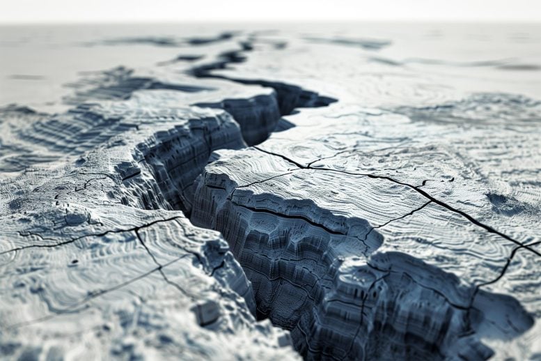
This gradual seismic event was tracked as it moved through the tsunami-prone segment of the fault off Japan’s coast, where it appeared to act as a natural buffer, absorbing pressure. Researchers at the University of Texas at Austin likened the phenomenon to a fault line slowly unzipping along the boundary between two tectonic plates.
The findings were published in Science.
“It’s like a ripple moving across the plate interface,” said Josh Edgington, who led the research while completing his doctorate at the University of Texas Institute for Geophysics (UTIG), part of UT Austin’s Jackson School of Geosciences. Unlike sudden earthquakes, slow slip events unfold over days or weeks. Though only recently recognized by scientists, these events are believed to play a key role in how stress accumulates and is released along faults. The new observations from Japan’s Nankai Fault provide compelling evidence supporting this idea.
Seafloor sensors reveal tectonic activity
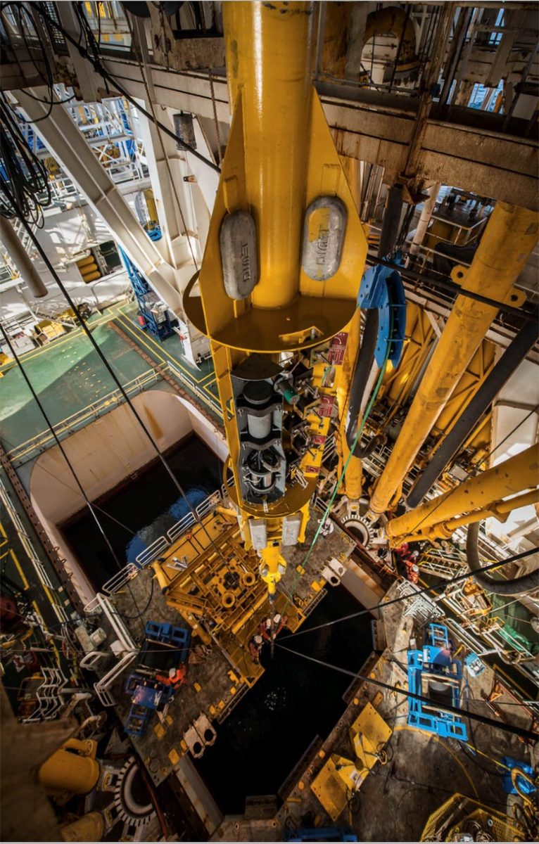
This significant scientific advancement was made possible by borehole sensors installed far offshore, in the area where the fault lies closest to the seafloor near the ocean trench. According to UTIG Director Demian Saffer, who led the research, these borehole instruments are capable of detecting extremely subtle ground movements—as small as a few millimeters. Such fine-scale motion in the shallow portion of the fault cannot be captured by conventional land-based systems like GPS networks.

The team’s instruments recorded a slow slip earthquake during the fall of 2015 as it moved along the fault’s outermost section near the seafloor—an area known for generating tsunamis during shallow quakes—where it appeared to release tectonic strain in a potentially high-risk zone. A similar event followed the same trajectory in 2020.
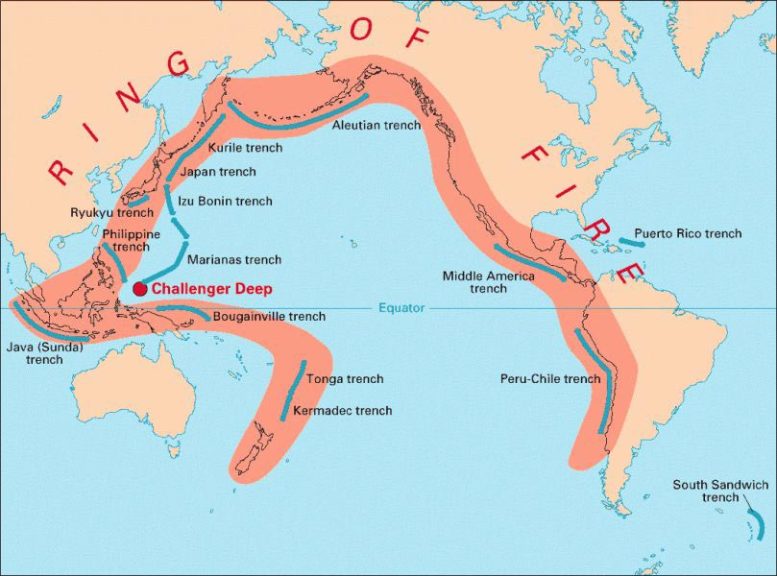
While the Nankai Fault has a history of producing major earthquakes and tsunamis, these observations suggest that this particular segment may not contribute energy to such destructive events. Instead, it may act as a seismic buffer. These findings offer valuable insights into the mechanics of subduction zone faults across the Pacific Ring of Fire, a region responsible for some of the world’s most powerful earthquakes and tsunamis.
The two slow slip events, only recently examined in detail, manifested as waves of deformation moving through the Earth’s crust. Originating roughly 30 miles off Japan’s coast, the unzipping motion was traced by the sensors as it progressed seaward before fading at the continental margin.

Both quakes took several weeks to advance 20 miles along the fault, and both occurred in zones where underground fluid pressure was higher than usual. This detail is especially significant, as it provides compelling evidence that high fluid pressure plays a critical role in triggering slow earthquakes—an idea long theorized by geophysicists but until now lacking clear observational proof.
A safer release of tectonic pressure
The last time Japan’s Nankai Fault produced a significant earthquake was in 1946. The magnitude 8 earthquake destroyed 36,000 homes and killed over 1,300 people. Although another large earthquake is expected in the future, the observations suggest the fault releases at least some of its pent-up energy harmlessly in regular, re-occurring slow slip earthquakes. The location is also important, because it shows that the part of the fault nearest the surface releases tectonic pressure independently of the rest of the fault.
Armed with that knowledge, scientists can begin to probe other regions of the fault to better understand the overall hazard it poses. The knowledge is also vital for understanding other faults, Saffer said.
For instance, Cascadia, a massive earthquake fault facing the Pacific Northwest, appears to lack Nankai’s natural shock absorber. Although some slow slip has been detected at Cascadia, none has been detected at the tsunami-generating, tail end of the fault, which suggests that it may be strongly locked to the trench, Saffer said.
“This is a place that we know has hosted magnitude 9 earthquakes and can spawn deadly tsunamis,” Saffer said. “Are there creaks and groans that indicate the release of accumulated strain, or is fault near the trench deadly silent? Cascadia is a clear top-priority area for the kind of high-precision monitoring approach that we’ve demonstrated is so valuable at Nankai.”
Reference: “Migrating shallow slow slip on the Nankai Trough megathrust captured by borehole observatories” by Joshua R. Edgington, Demian M. Saffer and Charles A. Williams, 26 June 2025, Science.
DOI: 10.1126/science.ads9715
The borehole observatories used in the Japan study were installed by the Integrated Ocean Drilling Program and funded by the U.S. National Science Foundation. Other data were supplied by ocean floor cable observatories operated by Japan Agency for Marine-Earth Science and Technology (JAMSTEC).
Funding: U.S. National Science Foundation
Never miss a breakthrough: Join the SciTechDaily newsletter.
1 Comment
“For the first time, scientists have directly observed a slow slip earthquake in the midst of relieving tectonic stress along a major underwater fault zone.”
Is this the same as what geologists have been calling “creep” for decades?