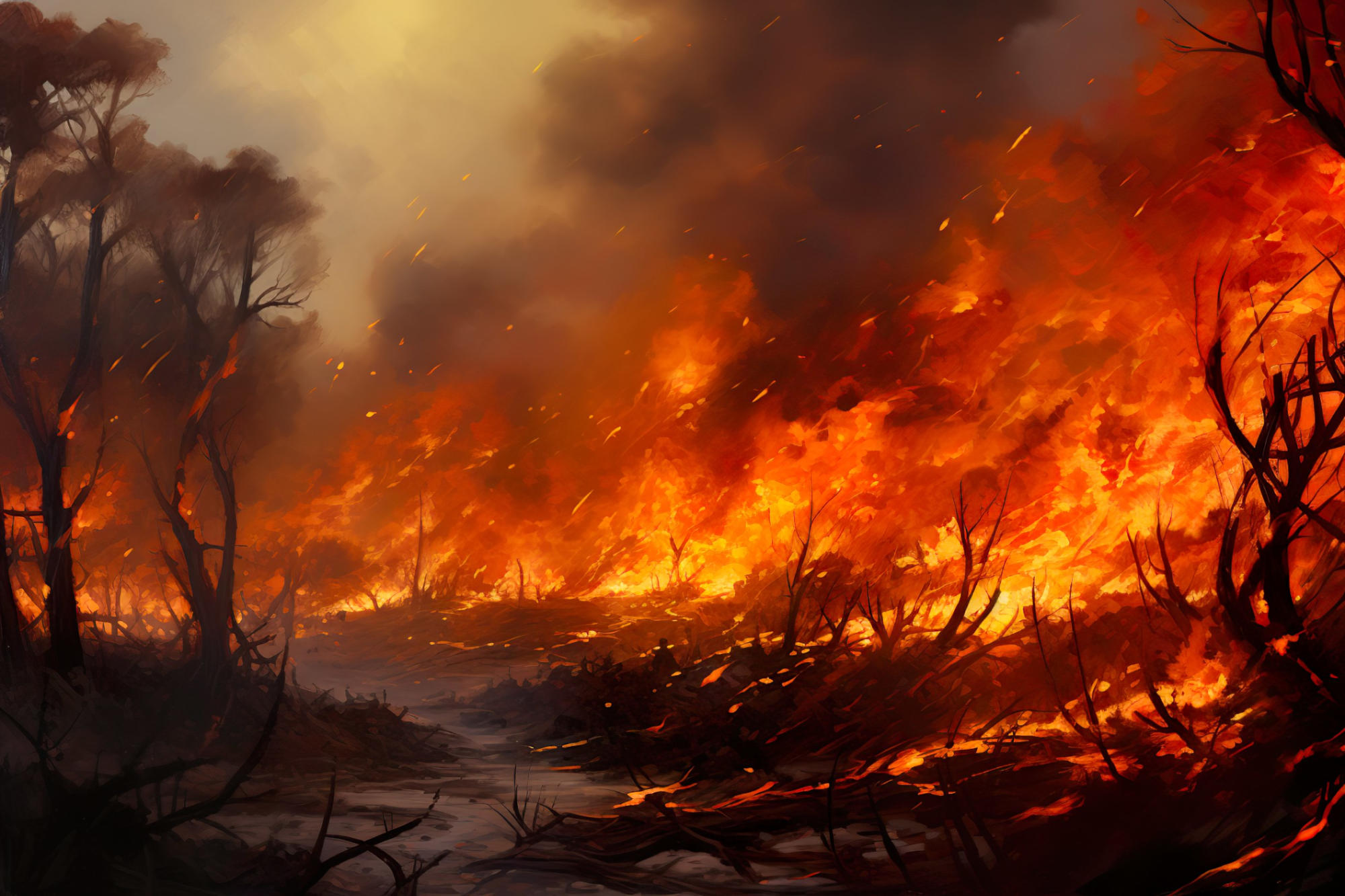
Wildfires are spreading faster than ever before, with growth rates in the U.S. increasing by over 250% in the past 20 years.
Although fast-moving fires are rare, they account for most of the destruction and firefighting costs. These fires can outpace evacuations and overwhelm efforts to control them, as seen in recent disasters in Colorado and Hawaii. A new approach to wildfire risk is needed, focusing on how quickly they spread.
“The modern era of megafires is often defined based on wildfire size,” said Jennifer Balch and colleagues in a new study, “but it should be defined based on how fast fires grow and their consequent societal impacts.”
Their research shows that wildfire growth rates in the U.S. have skyrocketed by more than 250% over the past two decades. While fast-moving wildfires—spreading over 1,620 hectares in a single day—make up just 2.7% of all wildfire events between 2001 and 2020, they are responsible for 89% of the structures damaged or destroyed and more than half of the suppression costs. This highlights the need to better understand these “fast fires” in order to improve wildfire risk assessments, firefighting tactics, and community readiness.
Some of the most destructive recent wildfires in the U.S., like the 2021 Marshall Fire in Colorado and the 2023 Lahaina Fire in Hawaii, share a common feature: they grew rapidly within hours of starting. These fast-moving fires pose serious challenges by outpacing evacuation efforts and overwhelming firefighting operations, leading to greater loss of life, more infrastructure damage, and higher suppression costs. Yet, traditional wildfire risk models still focus on the likelihood of occurrence, fire size, and burn intensity, rather than how quickly wildfires can spread.
According to Jennifer Balch and colleagues, the lack of comprehensive national data on fire growth rates (FGRs) has hindered an understanding of modern wildfire behavior and their consequent impacts. Derived from NASA’s Moderate Resolution Imaging Spectroradiometer (MODIS) Burned Area Product, the researchers developed a Fire Event Delineation (FIRED) parameter dataset. Using this dataset, the authors analyzed the daily growth rates of more than 60,000 fires from 2001 to 2020 across the contiguous U.S.
By identifying the fastest-growing fires during this period, the scientists discovered that nearly half of all areas experienced destructive fast fires. Comparing these events with data from the Historical Settlement Data Compilation of the US (HISDAC-US) and government records on fire event suppression efforts (ICS-209-PLUS), Balch et al. found that fast fires accounted for 78% of structures destroyed, 66% of fatalities, and 61% ($18.9 billion) of the total fire suppression costs due to fires in 2001 to 2020.
Moreover, the findings reveal that average FGRs in the Western U.S. in 2020 have increased by 249% relative to averages in 2001, with California experiencing a 398% rise in peak daily growth rate, indicating a significant escalation in fire speed across the last 2 decades.
Reference: “The fastest-growing and most destructive fires in the US (2001 to 2020)” by Jennifer K. Balch, Virginia Iglesias, Adam L. Mahood, Maxwell C. Cook, Cibele Amaral, Amy DeCastro, Stefan Leyk, Tyler L. McIntosh, R. Chelsea Nagy, Lise St. Denis, Ty Tuff, Erick Verleye, A. Park Williams and Crystal A. Kolden, 24 October 2024, Science.
DOI: 10.1126/science.adk5737
Never miss a breakthrough: Join the SciTechDaily newsletter.
Follow us on Google and Google News.
1 Comment
The shift in recent years has been towards the idea that fire is necessary, and many instances of aggressive fire behavior have been born from small isolated fires that were disregarded or thought to be beneficial prior to a wind event blowing them into a rampage. Human error, malicious intent, lightning, power lines, whatever the trigger will increase with homelessness, population in general, and increased numbers of structures of ever higher valuations drive increasing loses of property and life. I live in the mountains and have seen too many fire fighters that couldn’t wait for another fire to bring in some money. I was on evacuation status a few years ago after a 4/10-acre smoldering weeks old not a problem fire met up with a dry cold front and became 34 square miles of burnt timber, probably ruined the health of dozens of people, and cost $20 million to suppress.