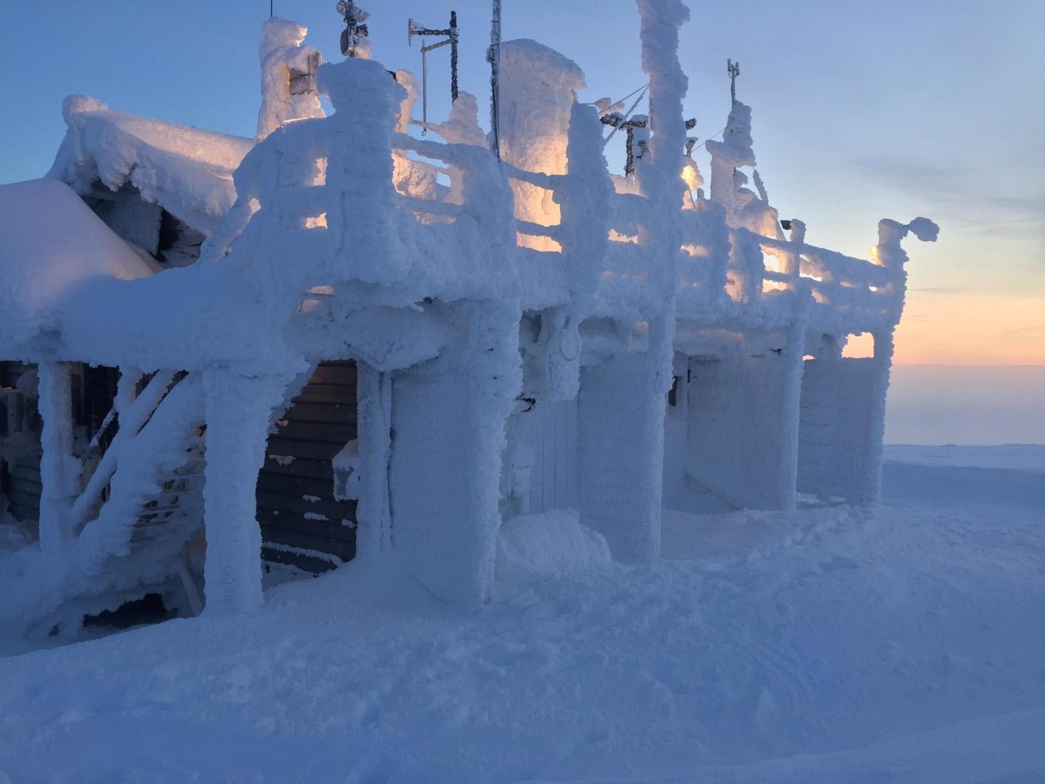
The April snow falling on fruit blossoms in Europe these days may be directly connected to the loss of the sea ice in the Barents Sea in the Arctic. That was certainly the case in 2018 when the sudden cold spell known as “Beast from the East” descended on the mid-latitudes of the continent, a new study in Nature Geoscience shows.
They are diligently stoking thousands of bonfires on the ground close to their crops, but the French winemakers are fighting a losing battle. An above-average warm spell at the end of March has been followed by days of extreme cold, destroying the vines with losses amounting to 90 percent above average. The image of the struggle may well be the most depressingly beautiful illustration of the complexities and unpredictability of global climate warming. It is also an agricultural disaster from Bordeaux to Champagne.
It is the loss of the Arctic sea-ice due to climate warming that has, somewhat paradoxically, been implicated with severe cold and snowy mid-latitude winters.
“Climate change doesn’t always manifest in the most obvious ways. It’s easy to extrapolate models to show that winters are getting warmer and to forecast a virtually snow-free future in Europe, but our most recent study shows that is too simplistic. We should beware of making broad sweeping extrapolations about the impacts of climate change.” Says CAGE professor Alun Hubbard.
Melting Arctic Sea Ice Supplied 88% of the Fresh Snow
Hubbard is the co-author of a study in Nature Geoscience examining this counter-intuitive climatic paradox: A 50% reduction in Arctic sea-ice cover has increased open-water and winter evaporation to fuel more extreme snowfall further south across Europe.
The study, led by Dr. Hanna Bailey at the University of Oulu, Finland, has more specifically found that the long-term decline of Arctic sea-ice since the late 1970s had a direct connection to one specific weather event: “Beast from the East” – the February snowfall that brought large parts of the European continent to a halt in 2018, causing £1bn a day in losses.
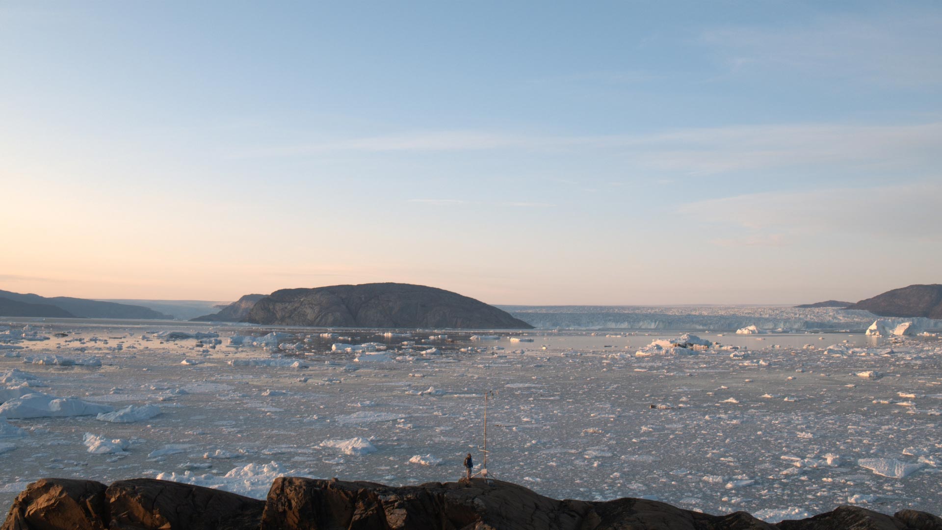
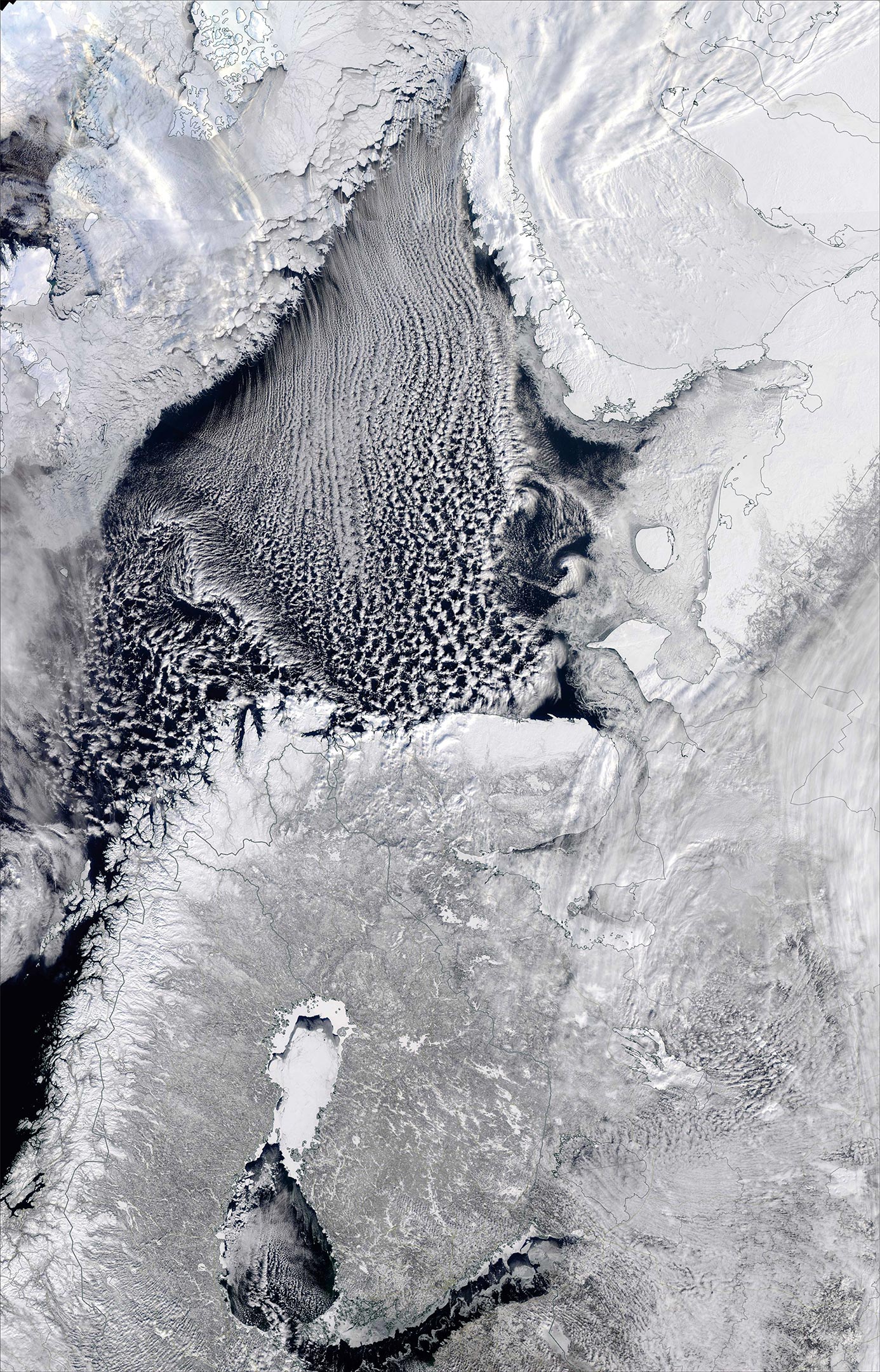
Researchers discovered that atmospheric vapor traveling south from the Arctic carried a unique geochemical fingerprint, revealing that its source was the warm, open-water surface of the Barents Sea, part of the Arctic Ocean between Norway, Russia, and Svalbard. They found that during the “Beast from the East,” open-water conditions in the Barents Sea supplied up to 88% of the corresponding fresh snow that fell over Europe.
Climate Warming Is Lifting the Lid off the Arctic Ocean
“What we’re finding is that sea-ice is effectively a lid on the ocean. And with its long-term reduction across the Arctic, we’re seeing increasing amounts of moisture enter the atmosphere during winter, which directly impacts our weather further south, causing extreme heavy snowfalls. It might seem counter-intuitive, but nature is complex and what happens in the Arctic doesn’t stay in the Arctic.” says Bailey.
When analyzing the long-term trends from 1979 onwards, researchers found that for every square meter of winter sea-ice lost from the Barents Sea, there was a corresponding 70 kg increase in the evaporation, moisture, and snow falling over Europe.
Their findings indicate that within the next 60 years, a predicted ice-free Barents Sea will likely become a significant source of increased winter precipitation – be it rain or snow – for Europe.
“This study illustrates that the abrupt changes being witnessed across the Arctic now, really are affecting the entire planet,” says professor Hubbard.
Reference: “Arctic sea-ice loss fuels extreme European snowfall” by Hannah Bailey, Alun Hubbard, Eric S. Klein, Kaisa-Riikka Mustonen, Pete D. Akers, Hannu Marttila and Jeffrey M. Welker, 1 April 2021, Nature Geoscience.
DOI: 10.1038/s41561-021-00719-y
Never miss a breakthrough: Join the SciTechDaily newsletter.
Follow us on Google and Google News.
2 Comments
Fix your damn title. You contradict yourself in the first phrase of the article.
“The April snow falling on fruit blossoms in Europe these days MAY BE directly connected to the loss of the sea ice in the Barents Sea in the Arctic.”
I always find it interesting that for the last decades, every climate abnormality is somehow always due to man made climate change and global warming.
“Their findings indicate that within the next 60 years, a predicted ice-free Barents Sea will likely become a significant source of increased winter precipitation – be it rain or snow – for Europe.”
So global warming = colder temperatures for the next 60, a paradox indeed.
Climate models have been proven wrong over and over, for decades there was almost no progress in predicting climate events. Somehow common sense predicted there was no reason for this degree of alarmism, so I will stick to that.
It seems that a basic assumption in conjectures revolving around the words “may” and “likely” is that “… what happens in the Arctic doesn’t stay in the Arctic.” I don’t see a case being made that it is inevitable that ‘climate change’ will result in even more frequent excursions of Arctic air into lower latitudes, let alone wholesale changes in air mass circulation.
Climatologists have typically disavowed the role of water vapor as a significant ‘greenhouse gas’ based on the claim that water vapor precipitates out in a few days. Yet, in this case, the transitory behavior is blamed for European snow. It would seem to me that the probability of increased Arctic water vapor precipitating onto Greenland, northern Siberia, or northern Canada is greater than it reaching lower latitudes. More snow cover at high latitudes would increase the albedo over that of bare tundra, thus cooling the region. The truest thing written in the article is, “nature is complex.”