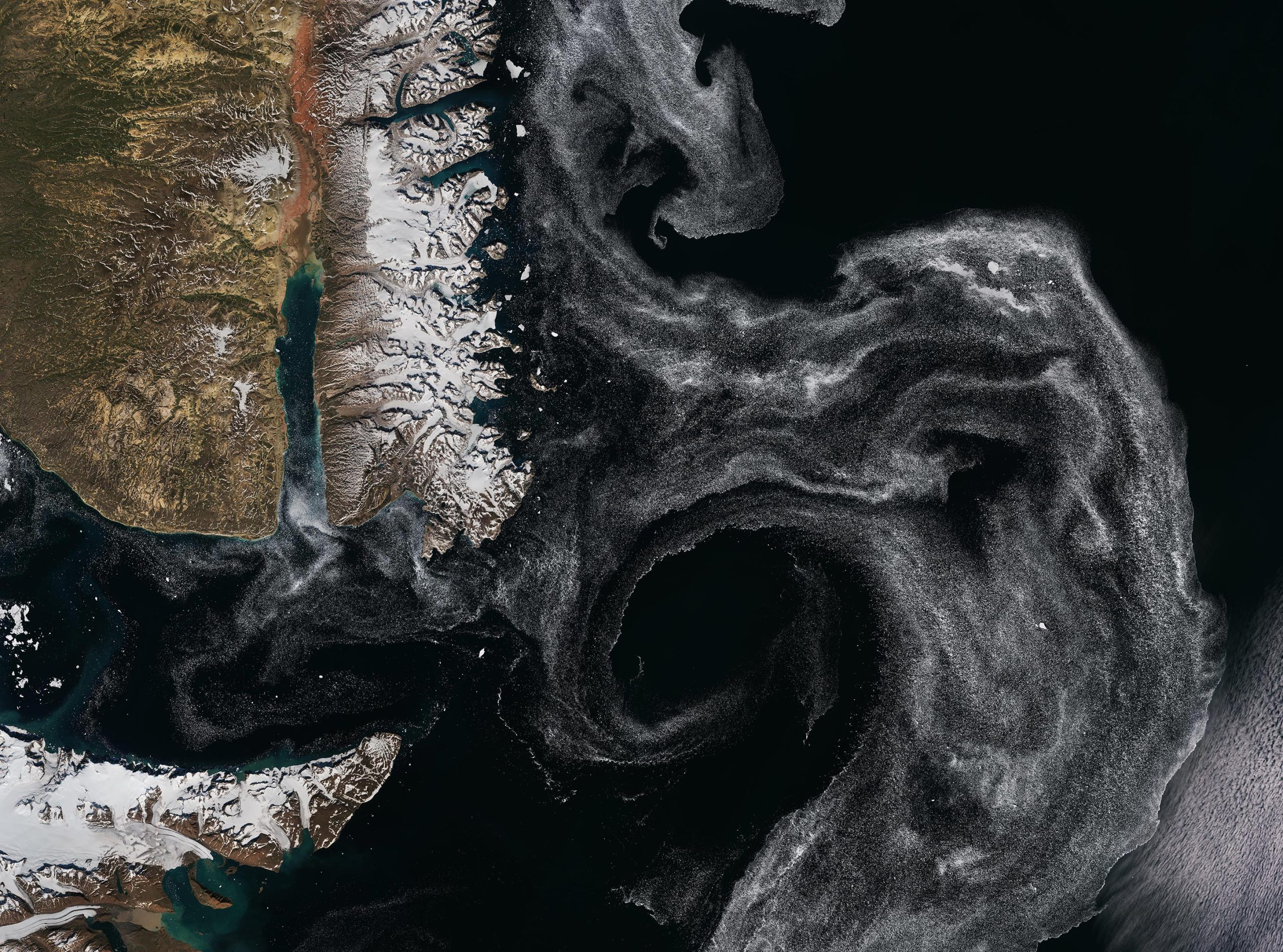
The Liverpool Land peninsula, on the east coast of Greenland, is featured in this satellite image from the European Space Agency’s Copernicus Sentinel-2. The peninsula is visible at the top partially covered with snow.
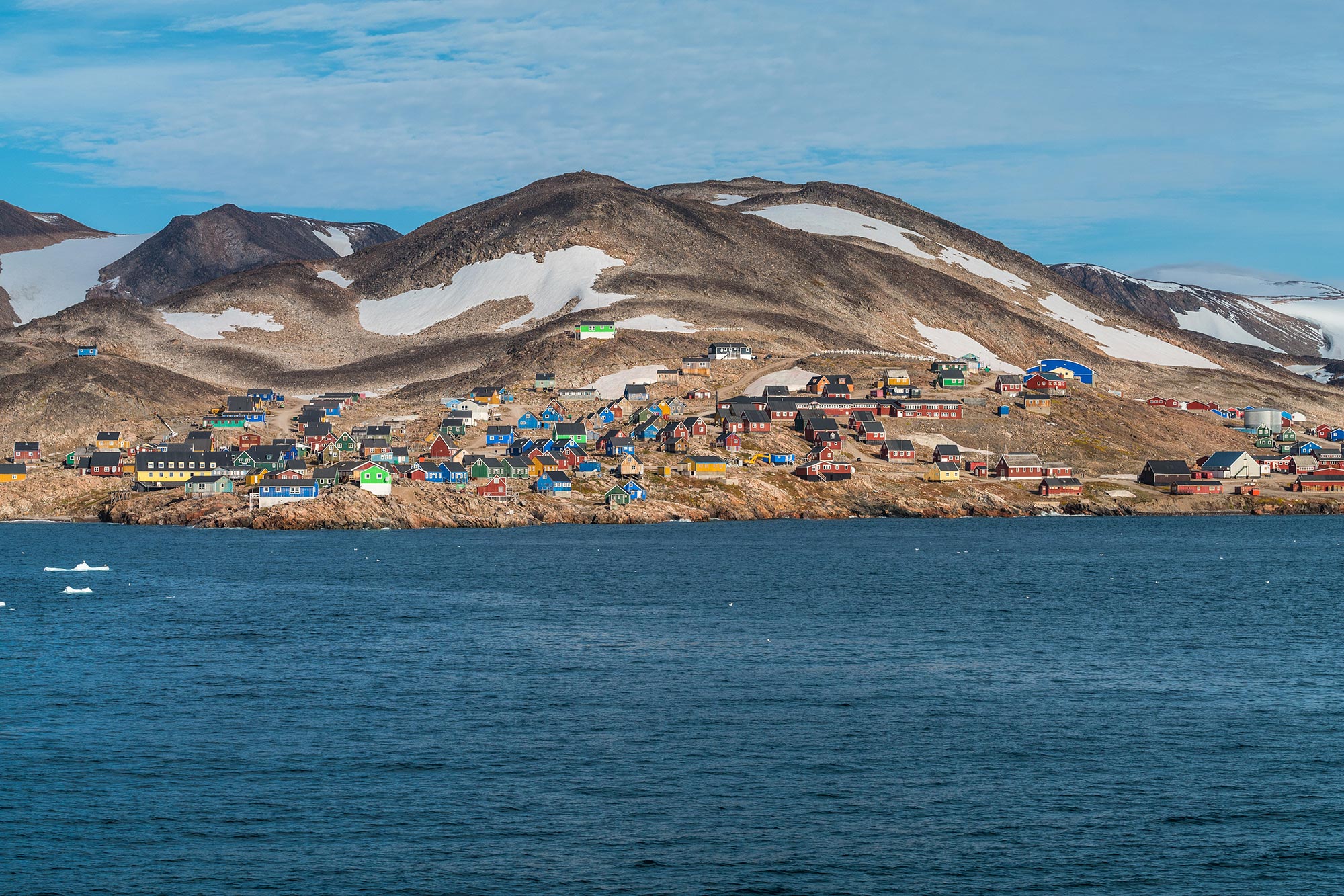
The Scoresby Sound (Danish: Scoresby Sund, Greenlandic: Kangertittivaq), one of the widest and longest fjord systems in the world, is a deep inlet that penetrates east Greenland for about 68 miles (110 km). The town of Ittoqqortoormiit, considered one of the most remote settlements on Earth, lies in the south part of the peninsula along the northern shore of the Scoresby Sound. It is the only permanent settlement in the region and has a population of fewer than 500 people.
The Scoresby Sound also includes the Hurry Inlet, visible as a long and narrow fjord on the southwest side of the peninsula, separating Liverpool Land from Jameson Land. Along the west shore of the Hurry Inlet, the Nerlerit Inaat Airport can be seen and is the only airport that serves Ittoqqortoormiit.
In the dark blue waters of the Greenland Sea, a swirl of sea ice stands out clearly in white. The swirl-like feature has a diameter of around 75 miles (120 km). Ice swirls are typically found in summer marginal ice zones. The marginal ice zone is the transition region between the open ocean and dense sea ice. Wind direction, waves, and ocean currents can push blocks of sea ice into this particular shape.
The East Greenland Current, a cold, low-salinity current, is located off the east coast of Greenland. It moves southwards, cutting the Nordic Seas and the Denmark Strait, and is the main route through which the sea ice leaves the Arctic region and moves to lower latitudes.
Never miss a breakthrough: Join the SciTechDaily newsletter.
Follow us on Google and Google News.