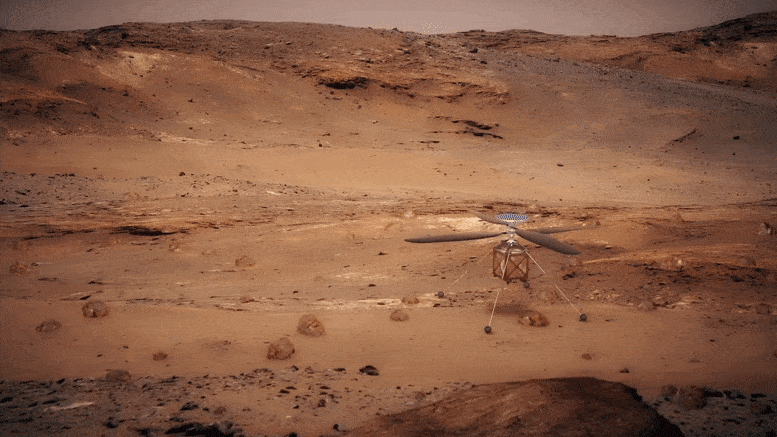
Ingenuity’s longest and most complex flight crossed tough Martian terrain, providing scientists with valuable images of areas unreachable by the Perseverance rover.
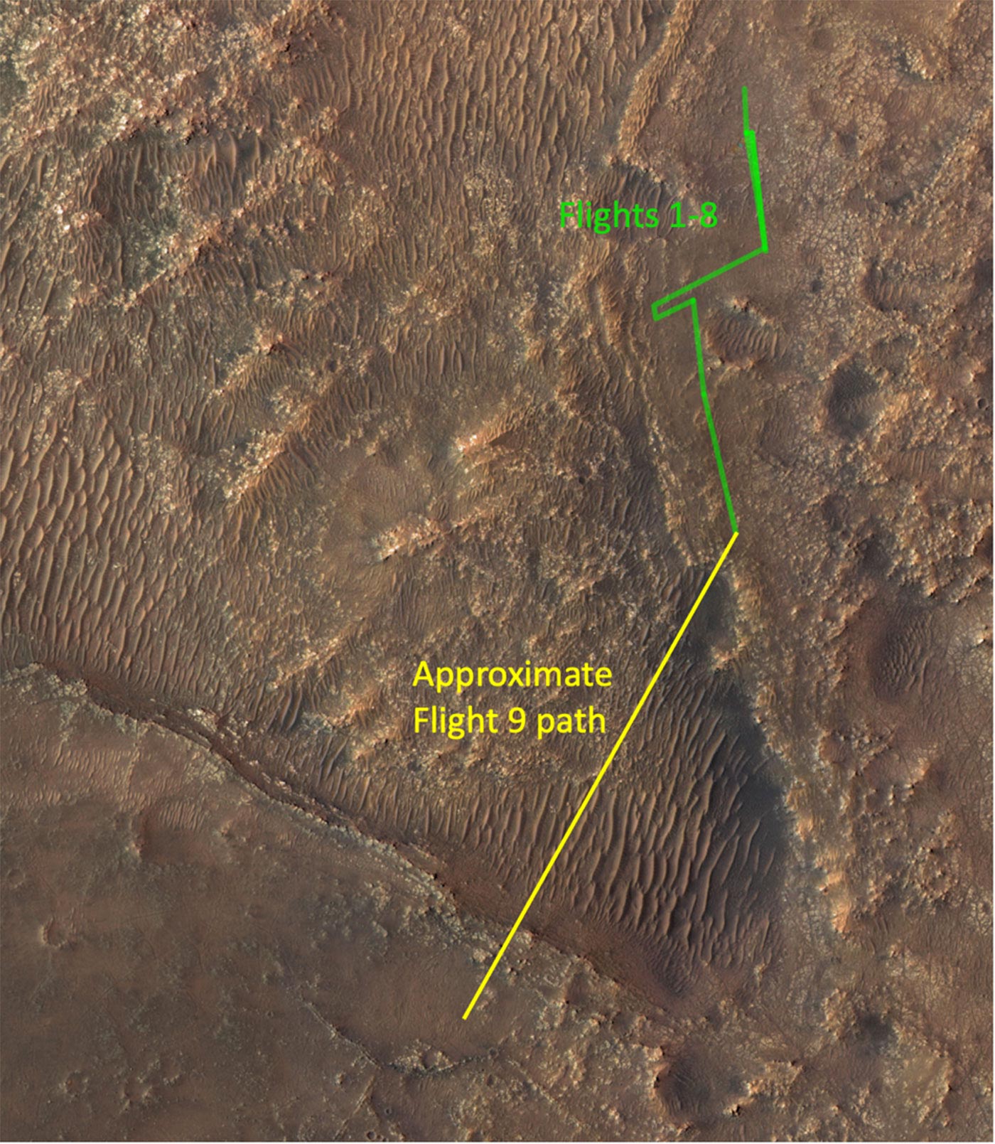
It has been a week of heightened apprehension on the Mars Helicopter team as we prepared a major flight challenge for Ingenuity. We uplinked instructions for the flight, which occurred Monday, July 5 at 2:03 am PT, and waited nervously for results to arrive from Mars later that morning. The mood in the ground control room was jubilant when we learned that Ingenuity was alive and well after completing a journey spanning 2,051 feet (625 meters) of challenging terrain.
Flight 9 was not like the flights that came before it. It broke our records for flight duration and cruise speed, and it nearly quadrupled the distance flown between two airfields. But what really set the flight apart was the terrain that Ingenuity had to negotiate during its 2 minutes and 46 seconds in the air – an area called “Séítah” that would be difficult to traverse with a ground vehicle like the Perseverance rover. This flight was also explicitly designed to have science value by providing the first close view of major science targets that the rover will not reach for quite some time.
Flying With Our Eyes Open
In each of its previous flights, Ingenuity hopped from one airfield to another over largely flat terrain. In planning the flights, we even took care to avoid overflying a crater. We began by dipping into what looks like a heavily eroded crater, then continued to descend over sloped and undulating terrain before climbing again to emerge on a flat plain to the southwest.
It may seem strange that the details of the terrain would matter as much as they do for a vehicle that travels through the air. The reason has to do with Ingenuity’s navigation system and what it was originally designed for: a brief technology demonstration at a carefully chosen experimental test site.
When we as human beings look at moving images of the ground, such as those taken by Ingenuity’s navigation camera, we instantly have a pretty good understanding of what we’re looking at. We see rocks and ripples, shadows and texture, and the ups and downs of the terrain are relatively obvious. Ingenuity, however, doesn’t have human perception and understanding of what it’s looking at. It sees the world in terms of individual, anonymous features – essentially dots that move around with time – and it tries to interpret the movement of those dots.
To make that job easier, we gave Ingenuity’s navigation algorithm some help: We told it that those features are all located on flat ground. That freed the algorithm from trying to work out variations in terrain height, and enabled it to concentrate on interpreting the movement of the features by the helicopter’s movements alone. But complications arise if we then try to fly over terrain that isn’t really flat.
Differences in terrain height will cause features to move across the field of view at different rates, and Ingenuity’s navigation algorithm still “assumes” the ground below is flat. It does its best to explain the movement of the features by changes in the helicopter’s movements, which can lead to errors. Most significantly, it can result in errors in the estimated heading, which will cause the helicopter to fly in a different direction than intended.
Getting Ready for a Bumpy Flight
The assumption about the ground being flat is baked into the design of the algorithm, and there is nothing we can do about that when planning the flights. What we can do is to anticipate the issues that will arise due to this assumption and to mitigate them to the greatest possible extent in terms of how we plan the flights and the parameters we give the software.
We use simulation tools that allow us to study the likely outcome of the flight in detail prior to carrying it out. For Flight 9, a key adaptation of the flight plan was to reduce our speed at the crucial point when we dipped into the crater. Although it came at the cost of extending the flight time, it helped mitigate early heading errors that could grow into a large cross-track position error. We also adjusted some of the detailed parameters of the navigation algorithm that we have not had to touch so far in prior flights. And we carved out a much larger airfield than in prior flights, with a radius of 164 feet (50 meters). We ended up landing approximately 154 feet (47 meters) away from the center of that airfield.
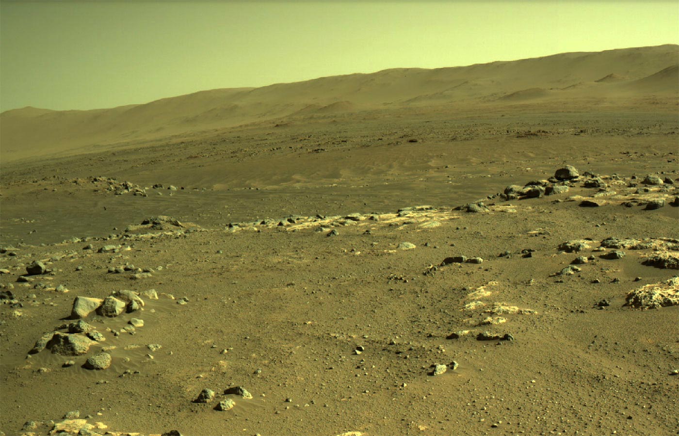
In the week ahead, Ingenuity will send back color images that Perseverance’s scientists are looking forward to studying. Captured in those images are rock outcrops that show contacts between the major geologic units on Jezero Crater’s floor. They also include a system of fractures the Perseverance team calls “Raised Ridges,” which the rover’s scientists hope to visit in part to investigate whether an ancient subsurface habitat might be preserved there.
Finally, we’re hoping the color images will provide the closest look yet at “Pilot Pinnacle,” a location featuring outcrops that some team members think may record some of the deepest water environments in old Lake Jezero. Given the tight mission schedule, it’s possible that they will not be able to visit these rocks with the rover, so Ingenuity may offer the only opportunity to study these deposits in any detail.
Written by Håvard F. Grip, Ingenuity Chief Pilot, and Ken Williford, Perseverance Deputy Project Scientist
Never miss a breakthrough: Join the SciTechDaily newsletter.
Follow us on Google and Google News.
3 Comments
The animation is cooler than the real images. Why not just simulate the whole mars experience and save a few hundred million dollars (maybe explore deep ocean, mars won’t change in 10,000 years)?
It’s certainly cool we are getting the most use of that little copter, even for what it wasn’t designed for. I now can’t imagine not giving future rover missions a flying sidekick.
I still wonder how it’s really there on Mars. Some answers may be coming through Ingenuity helicopter and NASA’s interpretation.