Earthquake sensors are giving scientists a new way to track space junk as it falls back to Earth.
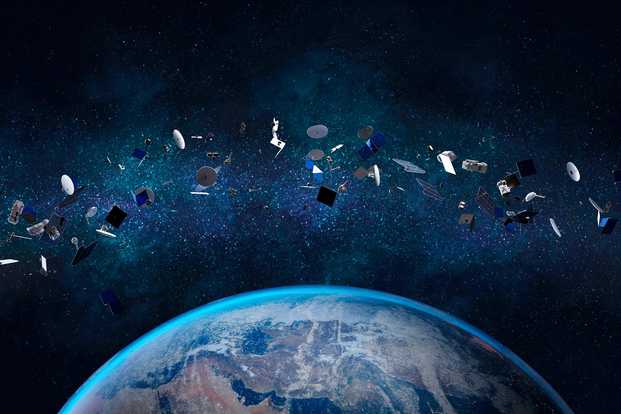
Thousands of discarded, human-made objects remain in orbit around Earth, and when pieces of this space debris fall back to the surface, they can pose real dangers to people. To better identify where debris might land, a scientist at Johns Hopkins University has helped develop a new tracking approach that uses existing networks of earthquake monitoring instruments.
This technique relies on seismometers that are already spread across the ground. Compared with current systems, the method can deliver more detailed information in near real-time than authorities have today—information that can speed up efforts to find and recover debris that may be burned, broken, or hazardous.
“Re-entries are happening more frequently. Last year, we had multiple satellites entering our atmosphere each day, and we don’t have independent verification of where they entered, whether they broke up into pieces, if they burned up in the atmosphere, or if they made it to the ground,” said lead author Benjamin Fernando, a postdoctoral research fellow who studies earthquakes on Earth, Mars, and other planets in the Solar System. “This is a growing problem, and it’s going to keep getting worse.”
The results were published in the journal Science on January 22.
Using Earthquake Sensors to Follow Falling Spacecraft
Fernando and his colleague Constantinos Charalambous, a research fellow at Imperial College London, demonstrated the method by analyzing debris from China’s Shenzhou-15 spacecraft. The spacecraft’s orbital module reentered Earth’s atmosphere on April 2, 2024. At roughly 3.5 feet wide and weighing more than 1.5 tons, the object was large enough to potentially threaten people on the ground, the researchers said.
When space debris enters the atmosphere, it travels faster than the speed of sound. This produces sonic booms, or shock waves, similar to those created by fighter jets. As the object races toward Earth, these shock waves send vibrations through the ground, triggering seismometers along the path. By identifying which sensors were activated and when, scientists can trace the debris’ route, determine its direction of travel, and estimate where it may have landed.
By mapping areas where seismometers in southern California detected sonic booms, researchers at Johns Hopkins University and Imperial College London were able to track the path of the Shenzhou-15 orbital module after it reentered the Earth’s atmosphere on April 2, 2024. Credit: Benjamin Fernando, Johns Hopkins University
Reconstructing Speed, Altitude, and Breakup
The team analyzed data from 127 seismometers in southern California to calculate the module’s speed and trajectory. The debris tore through the atmosphere at Mach 25-30, moving northeast over Santa Barbara and Las Vegas at roughly ten times the speed of the fastest jet aircraft.
The strength of the seismic signals also helped the researchers estimate the object’s altitude and determine where it broke apart. Using this information together with trajectory and speed data, they concluded that the module traveled about 25 miles north of the path predicted by U.S. Space Command, which is based on orbital measurements taken before reentry.
Health and Environmental Concerns
As debris burns during its descent, it can release toxic particles that remain suspended in the atmosphere for hours. Winds can then carry those particles to other regions. Knowing the precise path of falling debris makes it easier for organizations to track where these materials may travel and who could be exposed, the researchers said.
Near real-time tracking also allows authorities to recover debris that survives the fall much faster. Quick recovery is especially important because some objects can contain harmful substances.
“In 1996, debris from the Russian Mars 96 spacecraft fell out of orbit. People thought it burned up, and its radioactive power source landed intact in the ocean. People tried to track it at the time, but its location was never confirmed,” Fernando said. “More recently, a group of scientists found artificial plutonium in a glacier in Chile that they believe is evidence the power source burst open during the descent and contaminated the area. We’d benefit from having additional tracking tools, especially for those rare occasions when debris has radioactive material.”
Improving on Radar-Based Predictions
Until now, scientists have mostly relied on radar to monitor objects as they decay in low Earth orbit and to predict where they will reenter the atmosphere. In some cases, those predictions can be wrong by thousands of miles. Seismic data can serve as a valuable complement by tracking debris after it enters the atmosphere and revealing its actual flight path.
“If you want to help, it matters whether you figure out where it has fallen quickly—in 100 seconds rather than 100 days, for example,” Fernando said. “It’s important that we develop as many methodologies for tracking and characterizing space debris as possible.”
Reference: “Reentry and disintegration dynamics of space debris tracked using seismic data” by Benjamin Fernando and Constantinos Charalambous, 22 January 2026, Science.
DOI: 10.1126/science.adz4676
Never miss a breakthrough: Join the SciTechDaily newsletter.
Follow us on Google and Google News.