
Satellite measurements of Nicaragua’s Masaya volcano suggest magma is entering one reservoir as another drains, offering clues that could improve monitoring for future hazards.
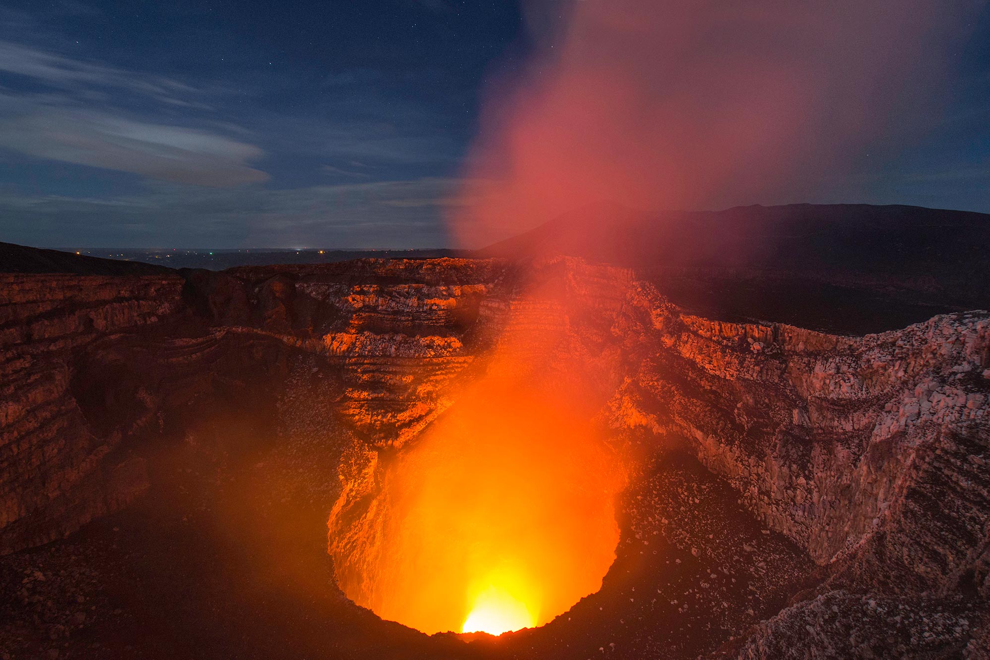
Visitors come to Nicaragua’s Masaya volcano to look into its lava lake, while roughly 2 million people live within 13 miles (21 kilometers) of the active volcano. The molten rock exposed at the surface offers only a glimpse of a shifting underground system whose connections remain poorly understood, making it difficult to recognize changes that could eventually threaten nearby communities.
Penn State researchers tracked that hidden activity through satellite measurements of the ground above it and found two movements unfolding together. Between 2018 and 2024, the ground within Masaya’s caldera, a large volcanic depression, initially sank and then began rising. Around the active Santiago crater and its lava lake, however, the surface kept sinking throughout the study. Their findings, published in Geophysical Research Letters, suggest that different parts of the magma system were changing independently.
Masaya’s ground moves in opposite directions
Passing over Masaya about once every 12 days, the Sentinel-1 satellite collected radar measurements through the clouds that frequently cover tropical volcanoes. Its microwave signals bounced off the surface, and the researchers used interferometry to compare returning radar waves from separate passes. Changes in those waves revealed changes in the distance between the satellite and the ground, a technique called interferometric synthetic aperture radar, or InSAR.
Magma draining from an underground reservoir can cause the ground above it to settle, while incoming magma can make it swell. The researchers interpreted the caldera’s reversal from sinking to rising as evidence that Masaya’s main reservoir was inflating, possibly supplied by a new magma source deeper underground. Those measurements capture movement at the surface, so the explanation for what happened below remains an interpretation.
“At the same time, the area directly around the active Santiago crater deflated over the entire study period independently of the transition to inflation of the main reservoir,” said lead author Lizzie Johnson, who conducted the research for her Schreyer’s Honors College thesis and graduated from Penn State with a bachelor’s degree in geosciences in May. “This indicates that the plumbing system is more complex and could be due to decreasing magma in a second, shallower reservoir.”
Santiago’s continued sinking raises the possibility that magma was leaving a shallow reservoir even as the main reservoir expanded. Tracking these separate movements could help researchers untangle how magma passes between storage areas and the surface, giving them a clearer basis for assessing changes in the volcano’s activity.
Masaya’s hazards extend beyond lava flows
Sulfur dioxide escaping from Masaya already presents a hazard, with persistent emissions often reaching dangerously high concentrations even though the volcano’s last major lava flow occurred in 1772. The researchers did not identify an immediate danger to surrounding communities from the changes examined in this study.
Following the ground’s movements over longer periods, alongside further modeling of the underground system, could help clarify the connections suggested by the satellite observations. Johnson said that work could also improve hazard monitoring at other basaltic volcanoes with lava lakes, where researchers face similar challenges in understanding what lies beneath the exposed molten rock.
Johnson joined the research group after hearing a talk by Christelle Wauthier, a professor of geosciences and computational sciences hub director in Penn State’s Institute for Computational and Data Sciences. With help from graduate students, Johnson learned to analyze the satellite data and conduct academic research. Among those graduate students was coauthor Young Cheol Kim, who recently completed his doctorate in geosciences at Penn State. He explained that continuous monitoring helps researchers establish the volcano’s baseline behavior and recognize changes that might signal increased activity. “And then if there is a need to warn people, we can do that in a timely manner.” For the communities surrounding Masaya and the visitors peering into its lava lake, the aim is to turn shifts in the ground into time to act.
Reference: “Double Trouble: Two Active Magma Reservoirs Identified at Masaya Volcano, Nicaragua, Using Satellite Geodesy” by E. Johnson, Y. C. Kim and C. Wauthier, 23 July 2026, Geophysical Research Letters.
DOI: 10.1029/2026GL123214
This work was supported by the U.S. National Science Foundation under award numbers 1945417 and 2523375, as well as by the computational research infrastructure of the Institute for Computational and Data Sciences at Penn State.
Never miss a breakthrough: Join the SciTechDaily newsletter.
Follow us on Google and Google News.