
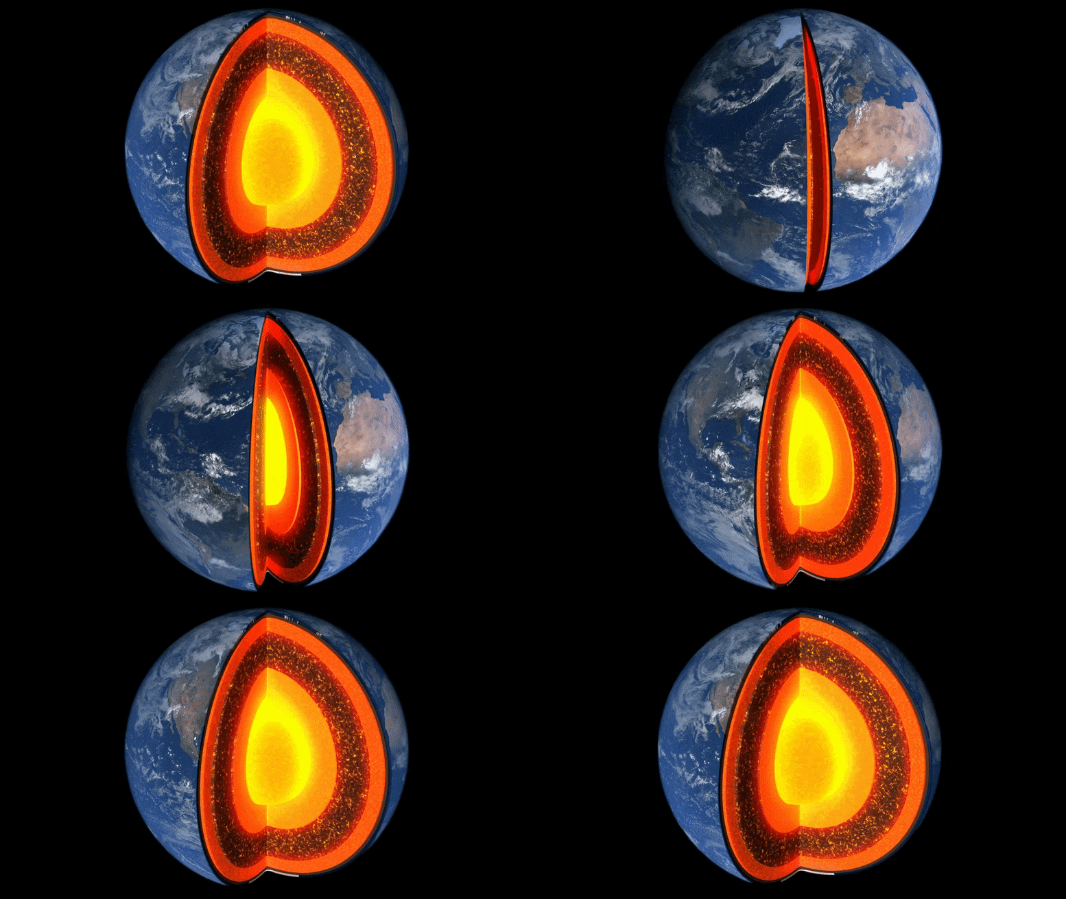
The Terrestrial Reference Frame (TRF) tracks Earth’s moving geocenter using global stations, ensuring accurate Earth observations for NASA missions.
At the foundation of virtually all airborne, space-based and ground-based Earth observations is the TRF, or Terrestrial Reference Frame. The TRF relies on an accurate calculation of the geocenter of the Earth (the center mass of the Earth). However, one complication is that the geocenter is constantly changing with respect to the Earth’s surface. By using a network of ground stations equipped with telescopes and lasers that fire pulses at specific satellites, scientists can calculate where the geocenter of the Earth is at any given time to a few millimeters to ensure our Earth observations are accurate.
Video Transcript:
[Upbeat Music]
Narrator: Where are you right now?
Or better yet, how do you know where you are?
Most likely you are using an app that is using a GPS to pinpoint where exactly you are on Earth.
But what you might not know is that behind your favorite navigation app is an invisible infrastructure of systems working together to provide you an accurate location, and that the foundation of these systems is a TRF or terrestrial reference frame.
Dr. Stephen Merkowitz: So reference frame is fundamental to any kind of mapping, location, positioning, navigation application.
Narrator: That’s Dr. Stephen Merkowitz, NASA’s Space Geodesy Project Manager.
Simply put, geodesy is the science of measuring and understanding the shape of the Earth, its orientation in space and gravity, and how they change over time.
Dr. Stephen Merkowitz: Earth is constantly changing shape, and the land masses are constantly moving.
It’s at small levels, so it’s not something you would feel, you know, yourself.
So we’re constantly measuring what’s happening with the Earth as a whole and the Earth’s surface.
Narrator: To do this, NASA and international partners monitor measurement stations dotted across the globe that help us determine where, how much, and in which direction our planet is changing.
Dr. Stephen Merkowitz: Since the Earth’s surface is always moving, any measurement isn’t just in a fixed coordinate system. It needs to take into account the fact that it’s related to the landmass and where that landmass is at any given time.
Narrator: And just like a coordinate system plotted on a piece of paper, the TRF has an origin or in this case, the center mass of the Earth – called the geocenter.
Because of this, many Earth-observing satellites orbit around the center mass of the Earth, not the Earth’s geographic center.
So it’s critical for scientists to pinpoint where that is to make sure our Earth observations are accurate.
Dr. Stephen Merkowitz: One complication is that the center mass of the Earth is constantly changing over time with respect to the Earth’s surface.
Narrator: Earthquakes, volcanoes, or even atmospheric pressure changes all impact where exactly the center mass of the Earth is.
But by using a network of ground stations equipped with telescopes and lasers that fire pulses at specific satellites, scientists can calculate where the geocenter of the Earth is at any given time to a few millimeters.
Dr. Stephen Merkowitz: This is a very important product that we generate for orbiting satellites, particularly for missions that are either doing mapping the gravitational field of the Earth or mapping the height of the Earth’s surface, whether it be land, vegetation, or sea level.
We make that available to the public, we use the data there to generate a higher level of products, geodetic products, that can be used by NASA missions for many scientific applications.
Since this is a global measurement, NASA can’t do it alone.
We rely on the global community to provide all the data that’s needed to provide global coverage.
Narrator: Having an agreed upon international system is what makes measuring our planet possible, whether it be from land, sea, air, or even space.
Never miss a breakthrough: Join the SciTechDaily newsletter.
Follow us on Google and Google News.