Researchers used seismic tomography to reveal that fluid buildup, not magma, is driving Uturuncu’s deformation, indicating low eruption risk.
Scientists from China, the UK, and the USA have worked together to study the inner workings of Bolivia’s “zombie” volcano, Uturuncu. By combining seismology, physics-based models, and rock composition analysis, the researchers identified the causes behind Uturuncu’s ongoing unrest, easing concerns about the likelihood of an imminent eruption. Their findings were published in the journal PNAS.
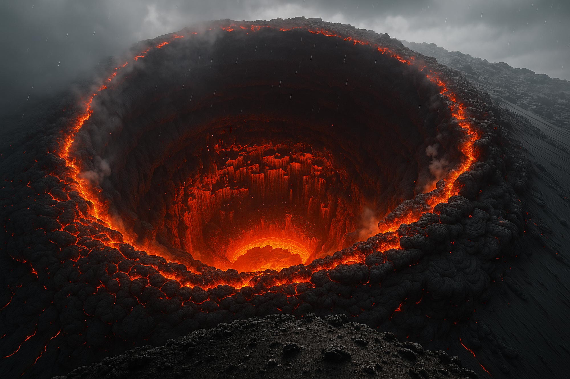
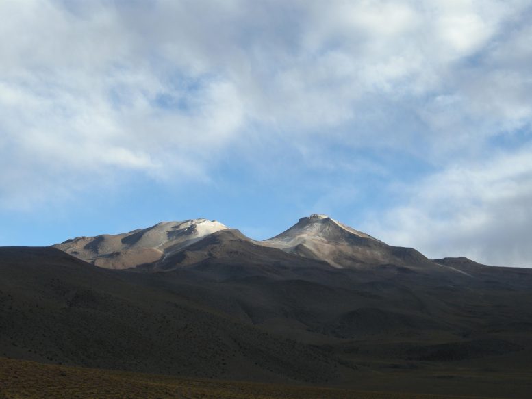
Located deep in the Central Andes, Uturuncu is known as a “zombie” volcano because it last erupted 250,000 years ago but still shows signs of activity. These include frequent earthquakes and gas emissions. The unrest creates a unique “sombrero” pattern of deformation, where the land at the center of the volcanic system rises while the surrounding area sinks.
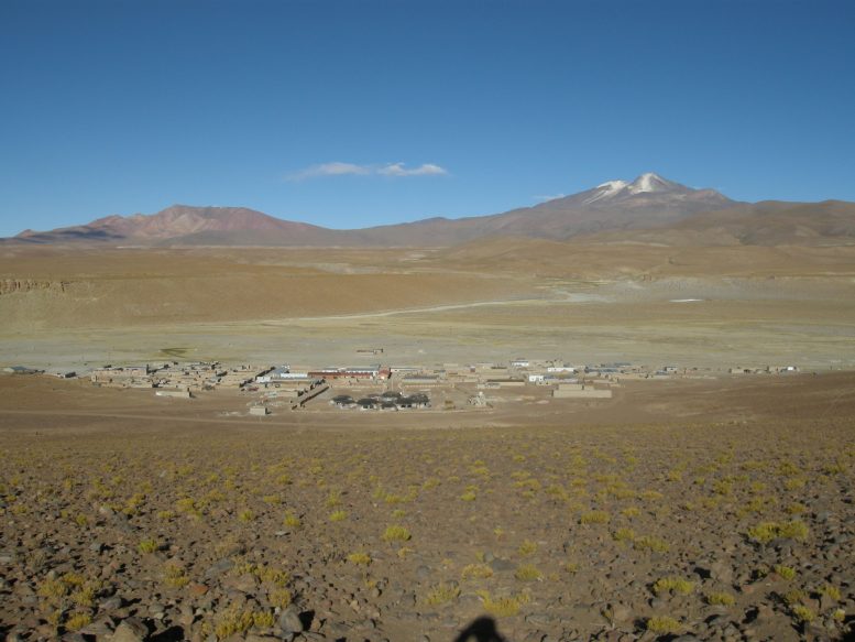
For communities near Uturuncu, understanding the risk of a future eruption is critical due to the potential for widespread damage and danger to life. Until now, the reasons for the volcano’s persistent activity were unclear. Scientists suspected that gaining insight into how magma and gases move beneath the surface would be key to explaining the phenomenon.
Tracking magma beneath the surface
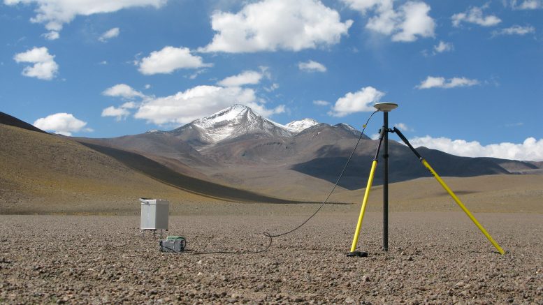
This new study, which drew upon expertise from University of Science and Technology of China, the University of Oxford and Cornell University, used signals detected from more than 1,700 earthquake events to perform high-resolution imaging of the plumbing system in the shallow crust beneath Uturuncu. According to the findings, the “zombie”-like unrest of Uturuncu is due to the movement of liquid and gas beneath the crater, with a low likelihood of an imminent eruption.
Volcanic plumbing systems are a complex mixture of fluids and gases in magmatic reservoirs and hydrothermal systems. Previous studies have shown that Uturuncu sits above the world’s largest known magma body in the Earth’s crust, the Altiplano-Puna Volcanic Complex, and that an active hydrothermal system connects this body and the surface. But it was unknown how fluids may be moving through this underground system.
Seismic tomography maps the interior
The research team made use of seismic tomography, a way of imaging the interior of the volcano, similar to methods used in medical imaging of the human body. Seismic waves travel at different speeds through different materials, thereby providing high-resolution insights into the inner workings of Uturuncu in three dimensions.
They combined this with analysis of the physical properties of the system, including rock composition, to better understand the subterranean volcanic system. This detailed analysis picked out possible upward migration pathways of geothermally heated fluids and showed how liquids and gases accumulate in reservoirs directly below the volcano’s crater. The research team believes that this is the most likely cause for the deformation in the center of the volcanic system, and that the risk of a real eruption is low.
Low eruption risk but deeper insights
Co-author Professor Mike Kendall (Department of Earth Sciences, University of Oxford) said: “I am very pleased to be involved in this truly international collaboration. Our results show how linked geophysical and geological methods can be used to better understand volcanoes, and the hazards and potential resources they present.”
Co-author Professor Haijiang Zhang (School of Earth and Space Sciences, University of Science and Technology of China) said: “Understanding the anatomy of the Uturuncu volcanic system was only possible thanks to the expertise within the research team. This enabled us to combine various advanced geophysical imaging tools with modelling of the rock properties and their interactions with fluids.”
Co-author Professor Matthew Pritchard (Cornell University) added: “The methods in this paper could be applied to the more than 1400 potentially active volcanoes and to the dozens of volcanoes like Uturuncu that aren’t considered active but that show signs of life — other potential zombie volcanoes.”
The research team hopes that similar studies using the joint analysis of seismological and petrological properties can be used to view the anatomy of other volcanic systems in the future.
Reference: “Anatomy of the magmatic–hydrothermal system beneath Uturuncu volcano, Bolivia, by joint seismological and petrophysical analysis” by Ying Liu, John Michael Kendall, Haijiang Zhang, Jonathan D. Blundy, Matthew E. Pritchard, Thomas Hudson and Patricia MacQueen, 28 April 2025, Proceedings of the National Academy of Sciences.
DOI: 10.1073/pnas.2420996122
Never miss a breakthrough: Join the SciTechDaily newsletter.
Follow us on Google and Google News.
6 Comments
I wouldn’t rely solely on this information alone.
Nature has a way of fooling even scientists.
For example the eruption in the south pacific near Tonga took the scientists and population by complete surprise.
Hindsight is always 20/20
Always watch the Sun…
“Although it last erupted 250 ± 5 ka ago, Uturuncu remains active with observable deformation and seismicity.”
Unfortunately, the full article is behind a paywall. The abstract makes the above quoted claim, but doesn’t explain how the age was arrived at, which presumably was a radiometric age. If they are basing it on the age of phenocrysts (crystals) in the last inferred eruption lava, they may be obtaining the age of early-formed crystals, not the eruption event. It is impossible to resolve the two possibilities with the information provided.
Fascinating work — Mount Cleveland’s stalled magma and persistent low-frequency tremors mirror patterns we track using the SR-GEO-PoC model (Schumann Resonance – Geophysical Observation & Prediction of Crisis).
This open-source framework analyzes multi-domain anomalies — Schumann Resonance, ELF/ULF signals, TEC fluctuations, and gravity field shifts — to detect early signs of seismic or volcanic crises, even when rupture doesn’t occur.
What makes it especially relevant to your study is a logic layer we’ve developed called SERD-M (Signal Entanglement & Rupture Delay – Modulation). It’s designed to distinguish true eruption buildup from mid-crustal stalling and suppression, just like what you’re observing at Mount Cleveland.
We believe SR-GEO-PoC + SERD-M could complement your monitoring strategy and provide new ways to classify and forecast “rumbling without rupture” events.
Can you explain how earthquakes and volcanic eruptions interact with Schumann Resonance? How can your program predict earthquakes if the wave-guide is reacting to deformations in the Earth? Conversely, if the cause-and-effect are reversed, how is there enough energy to cause an earthquake or eruption?
Is it possible that drilling out oil and replacing with less dense liquids, such as water and gases, that can’t support the earth`s outer crust due to gravitational pull?