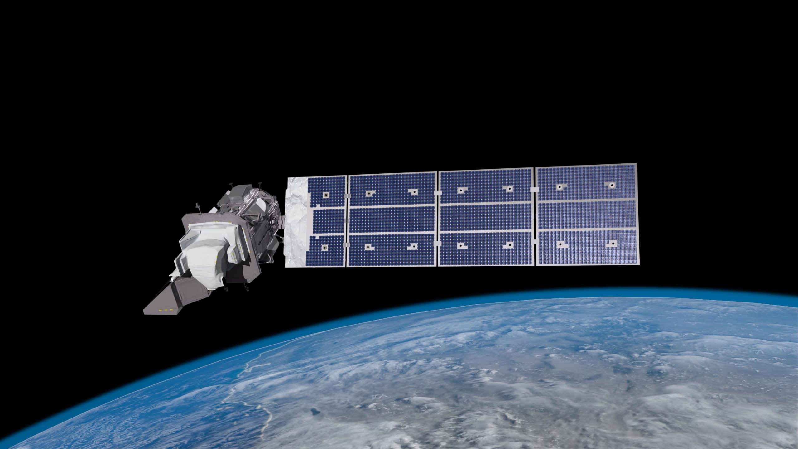
Animation of the Landsat 9 spacecraft in orbit around Earth, passing over the Western US and Baja California. The satellite will travel at 7.5 km/second, circling the globe every 99 minutes at an altitude of 705 km (438 miles). Landsat 9 will image a swath 185 km (115 miles) in width and complete about 14 orbits each day, thereby imaging every part of Earth every 16 days. Credit: NASA’s Goddard Space Flight Center/Conceptual Image Lab
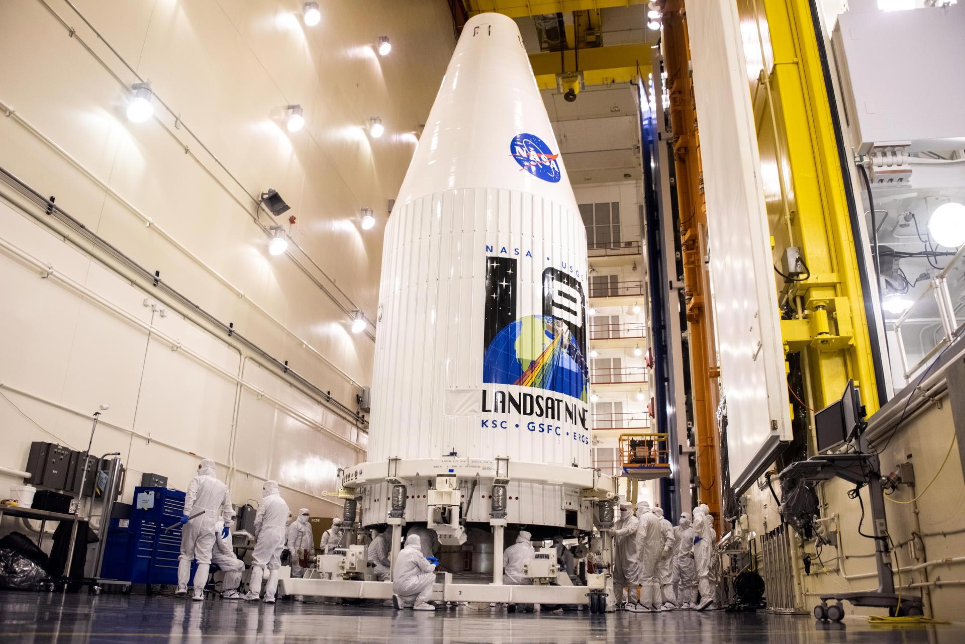
NASA is inviting the public to take part in virtual activities and events ahead of the launch of the Landsat 9 satellite, a joint NASA/U.S. Geological Survey mission that will continue the legacy of monitoring Earth’s land and coastal regions. Liftoff aboard a United Launch Alliance Atlas V 401 rocket is targeted for Monday, September 27, 2021, from Space Launch Complex 3 at Vandenberg Space Force Base in California.
Members of the public can register to attend the launch virtually. NASA’s virtual guest program for this launch includes curated launch resources, a behind-the-scenes look at the mission, and a virtual guest passport stamp following a successful launch.
Once fully commissioned in orbit, Landsat 9 will replace Landsat 7 and join its sister satellite, Landsat 8, to collect images from across the planet every eight days. This calibrated data will continue the Landsat program’s critical role in monitoring land use and helping decision makers manage essential resources including crops, water resources, and forests.
Live coverage and countdown commentary of the launch will begin at 10:30 a.m. PDT/1:30 p.m. EDT and air on NASA Television and the agency’s website, as well as YouTube, Twitter, Facebook, LinkedIn, Twitch, Daily Motion, and NASA’s App.
Members of the public can also share in the journey through a variety of activities, including:
Interactive Mission Website
To help the public learn more about the project and its nearly 50-year history, NASA has recently launched a new interactive website: www.nasa.gov/landsat9
Camp Landsat
Camp activity fun for everyone with organized sections of Landsat information and activities – like Cities & Suburbs, Forests Forever, Beaches & Reefs, and more: https://landsat.gsfc.nasa.gov/outreach/camp-landsat
Virtual Launch Passport
Print, fold, and get ready to fill your virtual passport. Stamps will be emailed following launches to those who register via email through Eventbrite.
In anticipation of the launch of Landsat 9, we count down 9 things about the Landsat mission, the science, the technology, and the people who continue its legacy. Credit: NASA’s Goddard Space Flight Center
Landsat 9 is a collaboration between NASA and the U.S. Geological Survey, and will continue the Landsat program’s critical role in monitoring, understanding, and managing the land resources needed to sustain human life. The mission will provide moderate-resolution (15-meter or 49-foot to 100-meter or 330-foot, depending on spectral frequency) measurements of the Earth’s terrestrial and polar regions in visible, near-infrared, short wave infrared, and thermal infrared wavelengths. There are two instruments on the spacecraft, the Thermal InfraRed Sensor 2 (TIRS-2) and the Operational Land Imager 2 (OLI-2).
Landsat 9 will provide continuity with the nearly 50-year-long Landsat land imaging data set. In addition to widespread routine use for land use planning and monitoring on regional to local scales, support of disaster response and evaluations, and water use monitoring, Landsat measurements directly serve NASA research in the focus areas of climate, carbon cycle, ecosystems, water cycle, biogeochemistry, and Earth surface/interior.
The Landsat program is the only U.S. satellite system designed and operated to repeatedly observe the global land surface at a moderate scale that shows both natural and human-induced change.
Never miss a breakthrough: Join the SciTechDaily newsletter.
Follow us on Google and Google News.