A satellite imagery tool from RMIT University now allows for the effective detection of beach plastics, aiding cleanup operations and combating ocean pollution.
Researchers from RMIT University have developed a new satellite imagery tool capable of detecting plastic debris on beaches by analyzing how sand, water, and plastics reflect light. This method, validated in field tests, allows plastics to be spotted on shorelines from more than 600km above.
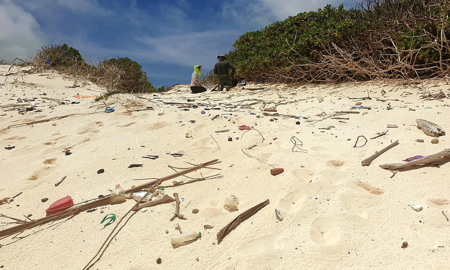
Satellite technology is already used to track the massive amounts of plastic floating around our oceans – from relatively small drifts containing thousands of plastic bottles, bags, and fishing nets, up to gigantic floating trash islands like the Great Pacific Garbage Patch, which is three times the size of France. However, this technology is less effective on beaches, where the plastic can easily blend in with the sand.
This recent advancement, published in the Marine Pollution Bulletin, provides an effective way to spot plastic on beaches, where it can be more easily accessed and removed by targeted clean-up efforts
Oceans of Plastic
Currently, over 10 million tonnes of plastic trash are dumped into our oceans every year, and it’s estimated that by 2030, that figure could reach 60 million.
The study’s lead author, Dr. Jenna Guffogg, said plastic on beaches can have severe impacts on wildlife and their habitats, just as it does in open waters.
“Plastics can be mistaken for food, larger animals become entangled and smaller ones, like hermit crabs, become trapped inside items such as plastic containers,” she said.
“Remote island beaches have some of the highest recorded densities of plastics in the world, and we’re also seeing increasing volumes of plastics and derelict fishing gear on the remote shorelines of northern Australia.”

According to Guffogg, if these plastics are not removed, they inevitably fragment further into micro and nano plastics.
“While the impacts of these ocean plastics on the environment, fishing and tourism are well documented, methods for measuring the exact scale of the issue or targeting clean-up operations, sometimes most needed in remote locations, have been held back by technological limitations,” she said.
Technical Details of the New Detection Method
The team’s Beached Plastic Debris Index is what’s known as a spectral index, essentially a mathematical formula that sorts patterns of reflected light collected by satellites as they pass over an area, to reveal what you’re most interested in seeing from the image.
The remote sensing team at RMIT has developed similar tools for monitoring forests and mapping bushfires from space.

The Beached Plastic Debris Index is tailored to mapping plastic debris in beach environments using high-definition data from the WorldView-3 satellite, which orbits the earth in line with the sun at an altitude of 617 km.
To test its performance, 14 plastic targets of around two square meters each were placed on a beach in southern Gippsland, Victoria.
Each target was made of a different type of plastic and was smaller than the satellite’s pixel size of about 3m2.
Results and Future Prospects
The satellite images using the new index were compared with three existing indices, two of which were designed for detecting plastics on land and one for detecting plastics in aquatic settings.
The BPDI outperformed all three, with the others either struggling to differentiate plastic-contaminated pixels on the beach or tending to misclassify shadow and water as plastic.
Study co-author, Dr. Mariela Soto-Berelov, said the enhanced separability of the BPDI against water, in addition to sand, suggests its utility is superior in environments where water pixels and plastic-contaminated pixels are likely to coexist.

“This is incredibly exciting, as up to now we have not had a tool for detecting plastics in coastal environments from space,” she said.
“The beauty of satellite imagery is that it can capture large and remote areas at regular intervals.
“Detection is a key step needed for understanding where plastic debris is accumulating and planning clean-up operations, which aligns with several Sustainable Development Goals, such as Protecting Seas and Oceans.”
Soto-Berelov said the next step is to test the BPDI’s utility in real-life scenarios.
“We’re looking to partner with organizations on the next step of this research; this is a chance to help us protect delicate beaches from plastic waste,” she said.
Reference: “Beached Plastic Debris Index; a modern index for detecting plastics on beaches” by Jenna Guffogg, Mariela Soto-Berelov, Chris Bellman, Simon Jones and Andrew Skidmore, 22 October 2024, Marine Pollution Bulletin.
DOI: 10.1016/j.marpolbul.2024.117124
Guffogg led this study as part of her joint PhD research at RMIT in Australia and the University of Twente in the Netherlands and now works in the geospatial mapping industry.
She was supported by an Australian Government Research Training Program (RTP) scholarship. The Worldview-3 imagery was accessed via DigitalGlobe, a US geospatial imagery vendor.
Never miss a breakthrough: Join the SciTechDaily newsletter.
Follow us on Google and Google News.
2 Comments
Awesome beginning..kudos to scientists!
Reusable glass containers, with a refundable deposit in the price making it worthwhile for kids to clean beaches. Too easy…………..