GEOMAR researchers reconstruct historic volcanic eruption using 3D seismics.
The explosion of the underwater volcano Kolumbo in the Aegean Sea in 1650 triggered a destructive tsunami that was described by historical eyewitnesses. A group of researchers led by Dr. Jens Karstens from the GEOMAR Helmholtz Centre for Ocean Research Kiel has now surveyed Kolumbo’s underwater crater with modern imaging technology and reconstructed the historical events. They found that the eyewitness accounts of the natural disaster can only be described by a combination of a landslide followed by an explosive eruption. Their findings were published on October 26 in the journal Nature Communications.
Observations and Investigations
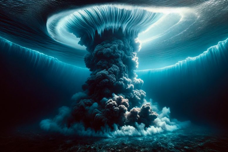
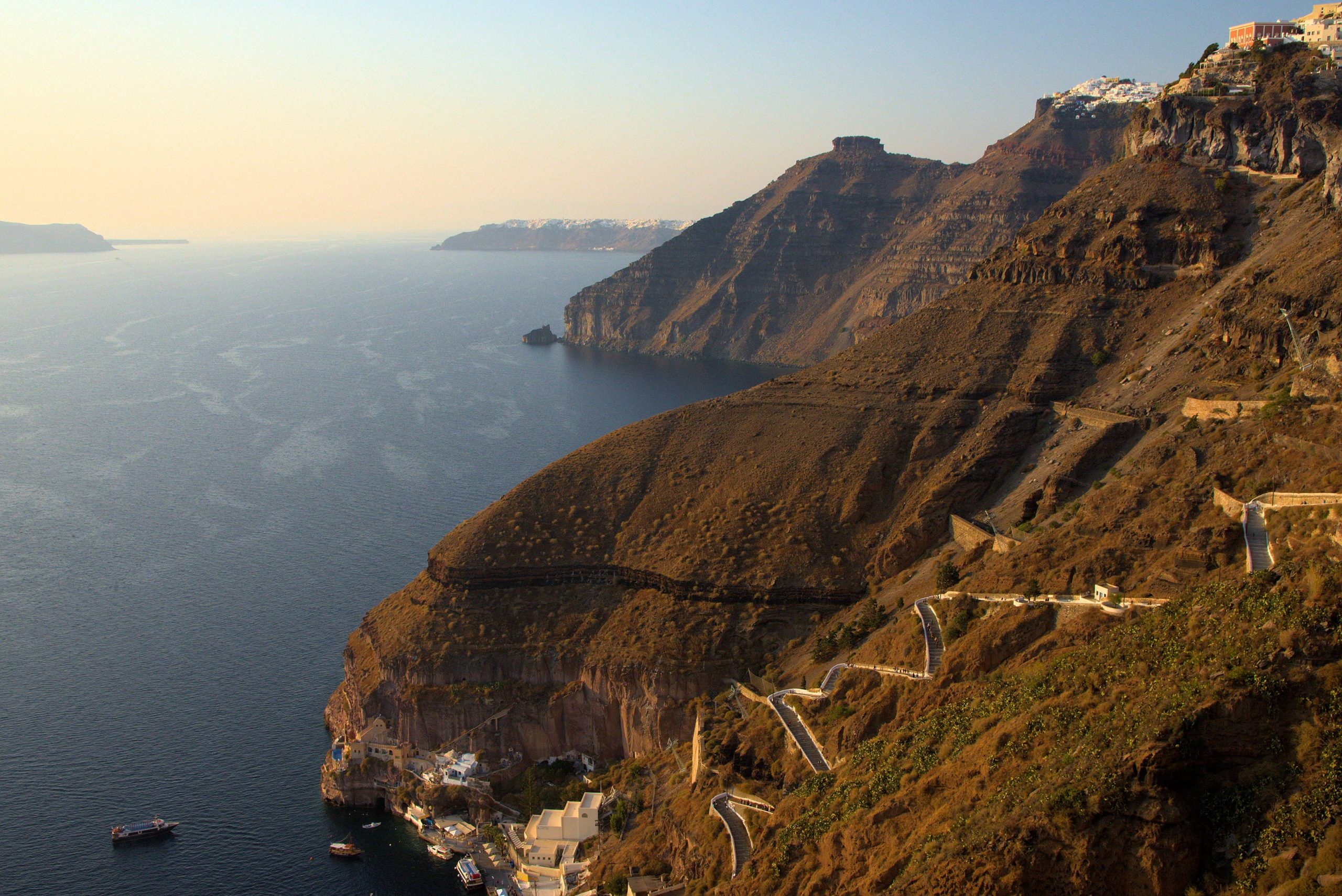
From the Greek island of Santorini, the eruption had been visible for several weeks. In the late summer of 1650, people reported that the color of the water had changed and the water was boiling. About seven kilometers (4 miles) northeast of Santorini, an underwater volcano had risen from the sea and began ejecting glowing rocks. Fire and lightning could be seen, and plumes of smoke darkened the sky. Then the water suddenly receded, only to surge towards the coastline moments later, battering it with waves up to 20 meters (66 feet) high. A huge bang was heard more than 100 kilometers (62 miles) away, pumice and ash fell on the surrounding islands, and a deadly cloud of poisonous gas claimed several lives.
“We know these details of the historic eruption of Kolumbo because there are contemporary reports that were compiled and published by a French volcanologist in the 19th century,” says Dr. Jens Karstens, marine geophysicist at GEOMAR Helmholtz Centre for Ocean Research Kiel.
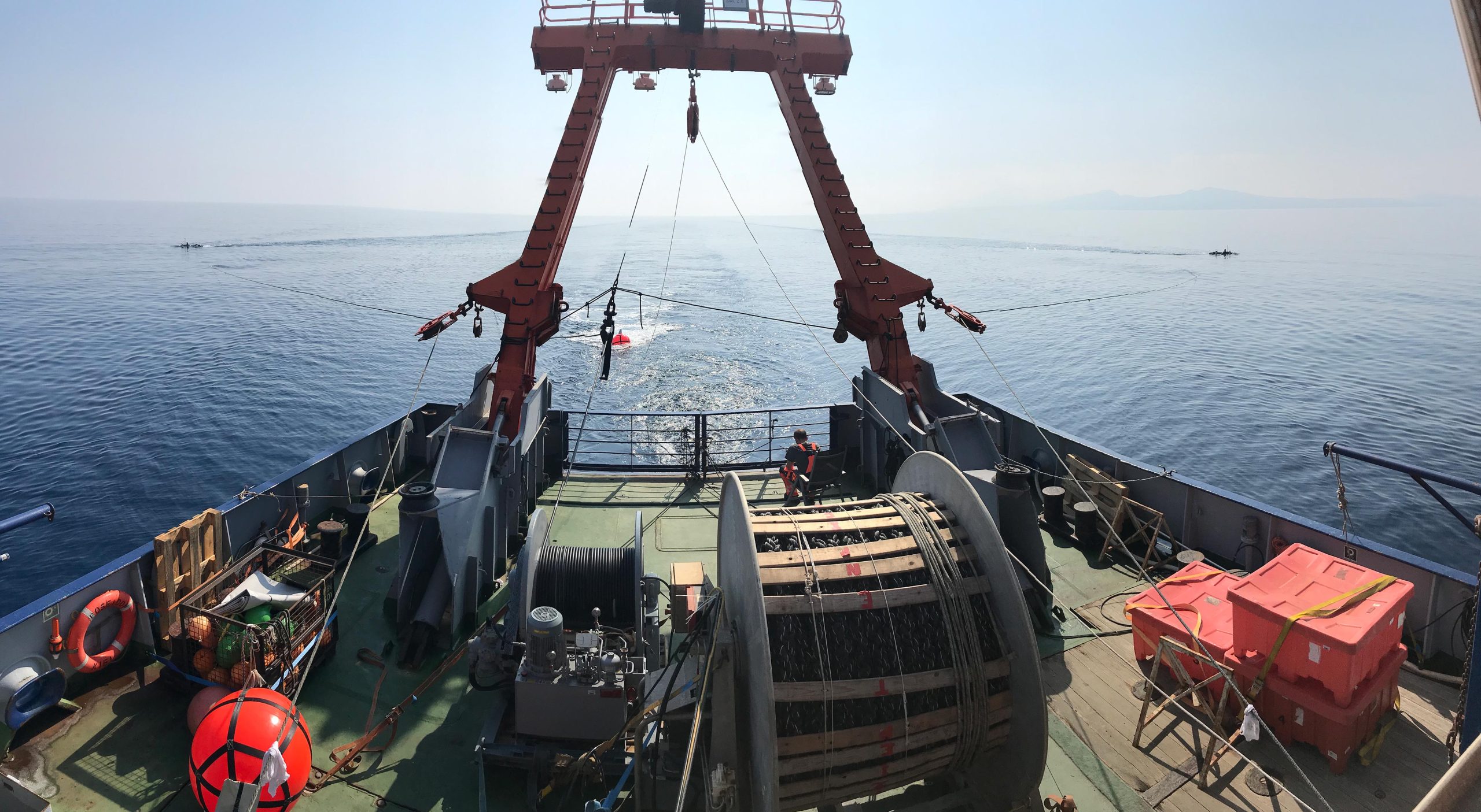
But how did these devastating events come about? To find out, he and his German and Greek colleagues went to the Greek Aegean Sea in 2019 to study the volcanic crater with special technology.
Karstens: “We wanted to understand how the tsunami came about at that time and why the volcano exploded so violently.”
Scientific Analysis and Future Monitoring
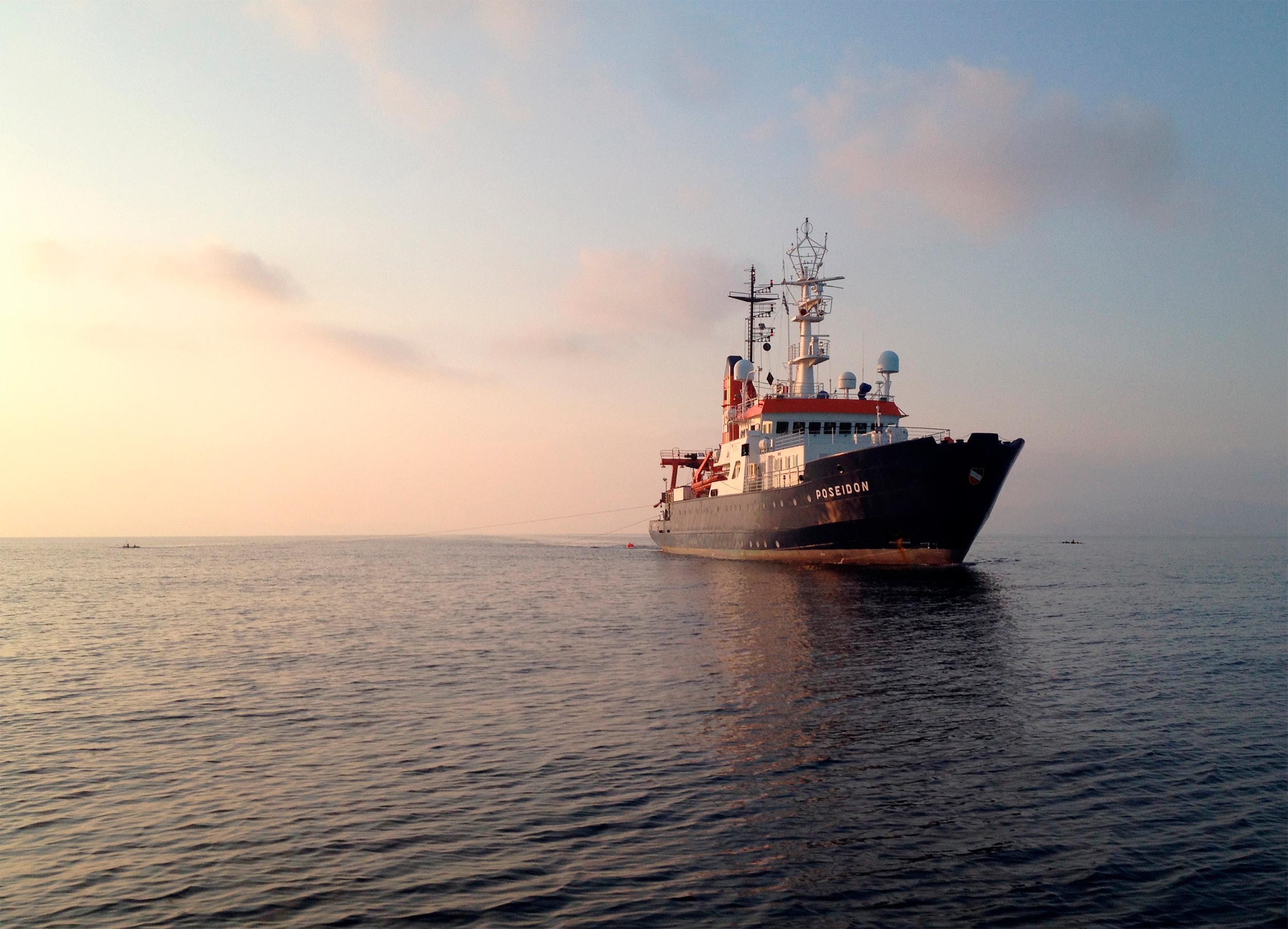
On board the now decommissioned research vessel POSEIDON, the team used 3D seismic methods to create a three-dimensional image of the crater, which is now 18 meters (59 feet) below the water’s surface.
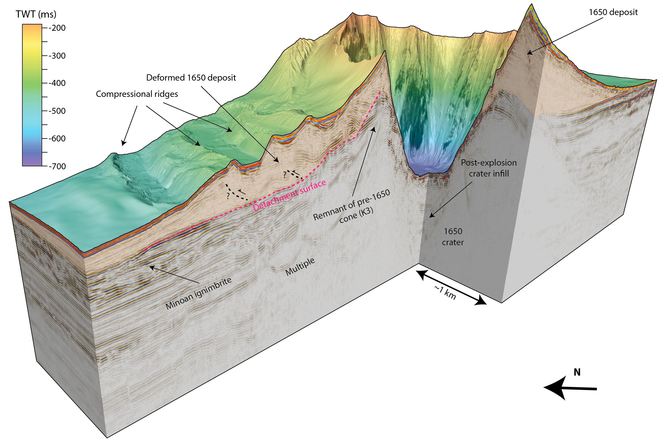
Dr. Gareth Crutchley, co-author of the study: “This allows us to look inside the volcano.” Not only did the 3D imaging show that the crater was 2.5 kilometers (1.6 miles) in diameter and 500 meters (1,640 feet) deep, suggesting a truly massive explosion, the seismic profiles also revealed that one flank of the cone had been severely deformed.
Crutchley: “This part of the volcano has certainly slipped.” The researchers then took a detective’s approach, comparing the various mechanisms that could have caused the tsunami with the historical eyewitness accounts. They concluded that only a combination of a landslide followed by a volcanic explosion could explain the tsunami. Their findings are published in the journal Nature Communications.
By combining 3D seismics with computer simulations, the researchers were able to reconstruct how high the waves would have been if they had been generated by the explosion alone.
Karstens: “According to this, waves of six meters would have been expected at one particular location, but we know from the reports of eyewitnesses that they were 20 meters high there.”
Furthermore, the sea is said to have first receded at another point, but in the computer simulation a wave crest reaches the coast first. Thus, the explosion alone cannot explain the tsunami event. However, when the landslide was included in the simulations, the data agreed with historical observations.
Jens Karstens explains: “Kolumbo consists partly of pumice with very steep slopes. It is not very stable. During the eruption, which had been going on for several weeks, lava was continuously ejected. Underneath, in the magma chamber, which contained a lot of gas, there was enormous pressure. When one of the volcano’s flanks slipped, the effect was like uncorking a bottle of champagne: the sudden release of pressure allowed the gas in the magma system to expand, resulting in a huge explosion.”
Something similar could have happened during the 2022 eruption of the Hunga Tonga undersea volcano, whose volcanic crater has a similar shape to Kolumbo’s.
The study thus provides valuable information for the development of monitoring programs for active submarine volcanic activity, such as SANTORY, which is led by co-author Prof. Dr. Paraskevi Nomikou of the National and Kapodistrian University of Athens (NKUA). “We hope to be able to use our results to develop new approaches to monitor volcanic unrest,” says Jens Karstens, “maybe even an early warning system, collecting data in real-time. That would be my dream.”
About 3D Marine Reflection Seismics
3D seismics is a geophysical technique that exploits the fact that sound waves are partially reflected at the boundaries of layers. This makes it possible to create cross-sectional profiles of geological structures beneath the seabed. Unlike 2D reflection seismics, marine 3D reflection seismics uses multiple measuring cables (housing receivers) towed in parallel behind the research vessel. The result is a three-dimensional image, known as a seismic volume, which allows us to look beneath the seafloor and analyze the geology in detail.
Reference: “Cascading events during the 1650 tsunamigenic eruption of Kolumbo volcano” by Jens Karstens, Gareth J. Crutchley, Thor H. Hansteen, Jonas Preine, Steven Carey, Judith Elger, Michel Kühn, Paraskevi Nomikou, Florian Schmid, Giacomo Dalla Valle, Karim Kelfoun and Christian Berndt, 26 October 2023, Nature Communications.
DOI: 10.1038/s41467-023-42261-y
Never miss a breakthrough: Join the SciTechDaily newsletter.
Follow us on Google and Google News.
3 Comments
The only volcano I have to worry about is Yellowstone.
Campi Flegrei, another supervolcano is actually rumbling with plenty of Earthquakes. It comes and goes, but it’s probably more likely to go sooner than Yellowstone.
And is in a much more highly populated area.