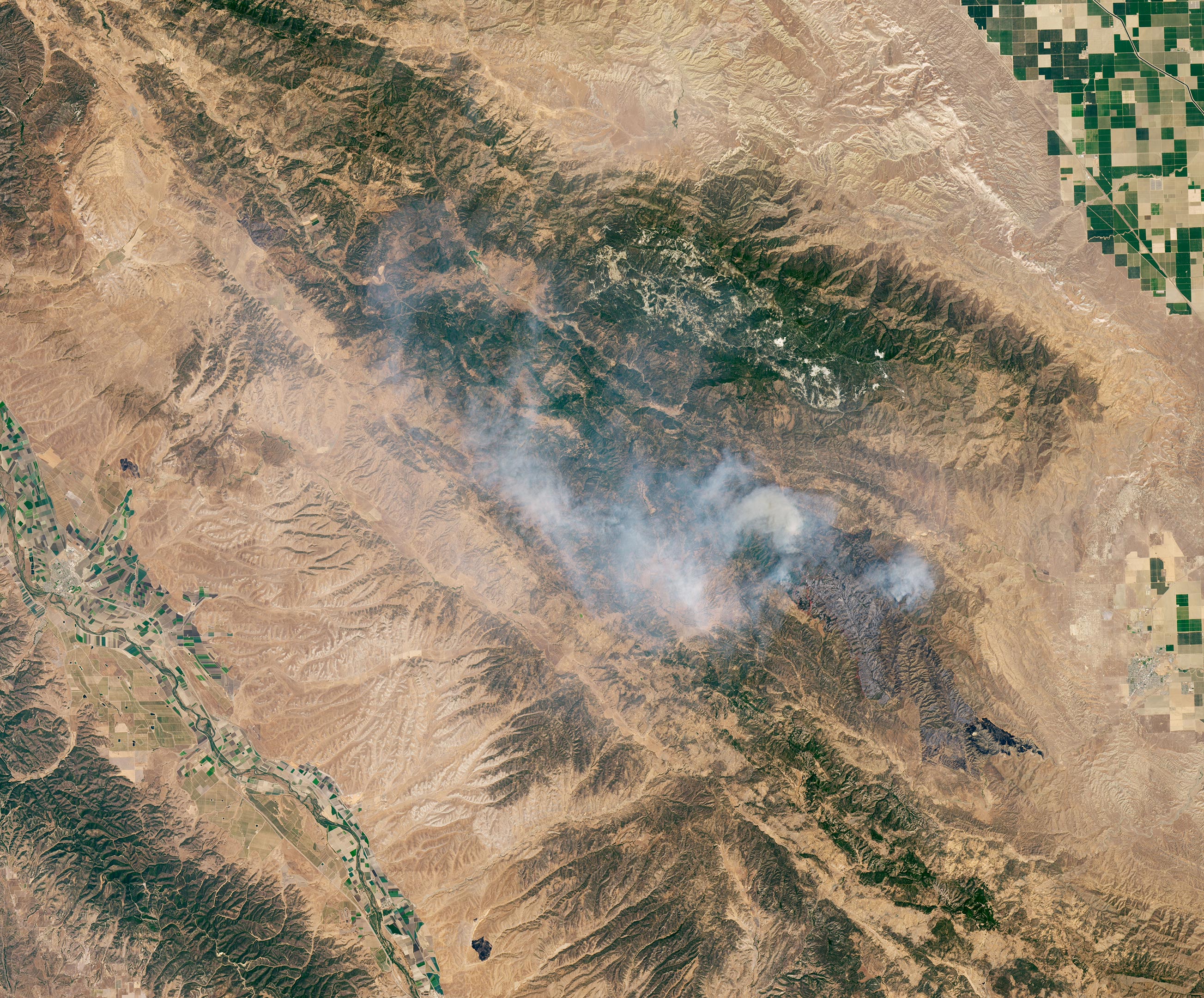
On July 17, 2020, the Operational Land Imager (OLI) on Landsat 8 captured this natural-color image of the Mineral Fire in Fresno County, California. Over 1,200 firefighters are working to control the fire, which ignited on July 13. The red lines are likely fire retardant, a substance dropped on the land to prevent the fire from advancing.
As of July 20, 2020, the fire had burned more than 28,000 acres (44 square miles/114 square kilometers) and was 49 percent contained.
NASA Earth Observatory image by Lauren Dauphin, using Landsat data from the U.S. Geological Survey.
Never miss a breakthrough: Join the SciTechDaily newsletter.
Follow us on Google and Google News.