A powerful tsunami seen from space is overturning what scientists thought they knew about how these waves travel.
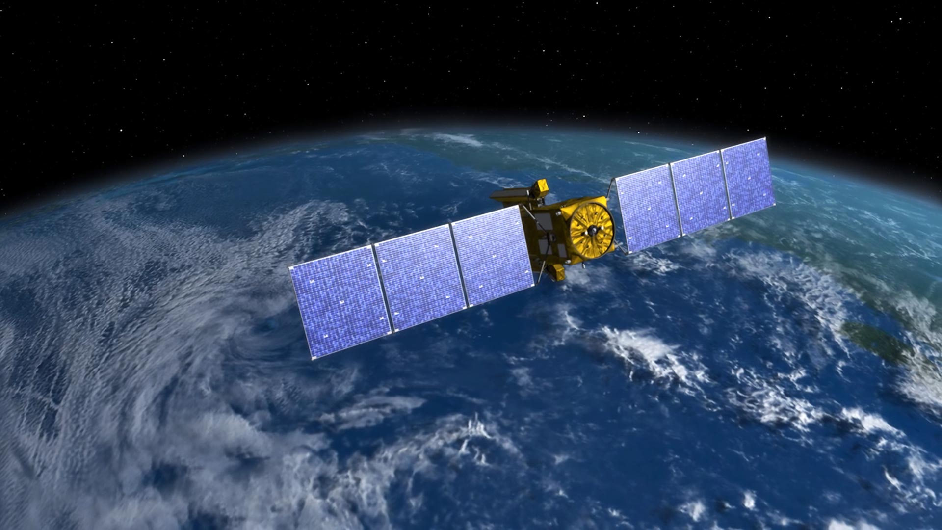
A satellite designed to measure ocean surface height delivered a remarkable result when a powerful earthquake near Russia’s Kamchatka Peninsula unleashed a tsunami that spread across the Pacific in late July.
Scientists report in The Seismic Record that the Surface Water Ocean Topography or SWOT satellite recorded the first high-resolution space-based track of a major tsunami generated by a subduction zone earthquake. This new view revealed a far more complicated wave pattern than expected, with energy spreading and scattering across the ocean. The findings could help researchers better understand how tsunamis move and how they may impact coastlines.
Unexpectedly Complex Wave Patterns
Angel Ruiz-Angulo of the University of Iceland and his team combined the satellite observations with readings from DART (Deep-ocean Assessment and Reporting of Tsunamis) buoys positioned along the tsunami’s path. Together, the data provided new insight into the magnitude 8.8 earthquake that struck on July 29 in the Kuril-Kamchatka subduction zone. It ranks as the sixth-largest earthquake recorded worldwide since 1900.
“I think of SWOT data as a new pair of glasses,” said Ruiz-Angulo. “Before, with DARTs we could only see the tsunami at specific points in the vastness of the ocean. There have been other satellites before, but they only see a thin line across a tsunami in the best-case scenario. Now, with SWOT, we can capture a swath up to about 120 kilometers wide, with unprecedented high-resolution data of the sea surface.”
SWOT, launched in December 2022 through a partnership between NASA and the French space agency Centre National d’Etudes Spatiales, was built to map Earth’s surface water on a global scale.
Ruiz-Angulo noted that he and co-author Charly de Marez had spent more than two years studying SWOT data to analyze ocean features such as small eddies. “We had been analyzing SWOT data for over two years understanding different processes in the ocean like small eddies, never imagining that we would be fortunate enough to capture a tsunami.”
Rethinking How Tsunamis Travel
Scientists have long assumed that very large tsunamis behave as “non-dispersive” waves. Because their wavelengths are longer than the depth of the ocean, they are expected to travel largely intact as a single wave rather than breaking apart into multiple waves.
“The SWOT data for this event has challenged the idea of big tsunamis being non-dispersive,” Ruiz-Angulo explains.
Instead, the satellite observations showed evidence of dispersion, where the wave energy spreads into multiple components. Computer simulations that included this type of behavior matched the real-world data more closely than traditional models.
“The main impact that this observation has for tsunami modelers is that we are missing something in the models we used to run,” Ruiz-Angulo added. “This ‘extra’ variability could represent that the main wave could be modulated by the trailing waves as it approaches some coast. We would need to quantify this excess of dispersive energy and evaluate if it has an impact that was not considered before.”
This animation shows the simulated tsunami wave heights generated by the M8.8 earthquake. Around 70 minutes after the earthquake, the path of the SWOT satellite appears, shown in slow motion to illustrate how the fast-moving satellite captured the tsunami and the dispersive waves that followed the main crest. Credit: Angel Ruiz-Angulo
New Clues About the Earthquake Source
The team also compared their findings with earlier tsunami forecasts that were based on seismic and land deformation measurements. Those earlier predictions did not fully align with what DART instruments actually recorded. In particular, the modeled arrival times at two monitoring sites were off, arriving earlier at one and later at the other than observed.
To resolve the mismatch, the researchers used the buoy data in an approach known as inversion to refine their understanding of the earthquake’s source. Their updated analysis indicates the rupture extended farther south than previously believed and stretched about 400 kilometers. That is significantly longer than the 300 kilometers estimated by earlier models.
“Ever since the 2011 magnitude 9.0 Tohoku-oki earthquake in Japan, we realized that the tsunami data had really valuable information for constraining shallow slip,” said study co-author Diego Melgar.
Melgar explained that researchers have been working to better integrate DART data into these analyses. “But it is still not always done because the hydrodynamic models needed to model DARTs are very different than the seismic wave propagation ones for modeling the solid Earth data. But, as shown here again, it is really important we mix as many types of data as possible,” Melgar said.
Implications for Tsunami Forecasting
The Kuril-Kamchatka region has produced some of the largest tsunamis on record. A magnitude 9.0 earthquake in 1952 triggered a massive Pacific-wide event that ultimately led to the creation of an international warning system. That system played a role in issuing alerts during the 2025 tsunami.
Researchers say the new satellite-based observations could eventually improve real-time forecasting.
“With some luck, maybe one day results like ours can be used to justify why these satellite observations are needed for real or near-real time forecasting,” Ruiz-Angulo said.
Reference: “SWOT Satellite Altimetry Observations and Source Model for the Tsunami from the 2025 M 8.8 Kamchatka Earthquake” by Angel Ruiz‐Angulo, Diego Melgar, Charly de Marez, Aurélien Deniau, Francesco Nencioli and Vala Hjörleifsdóttir, 26 November 2025, The Seismic Record.
DOI: 10.1785/0320250037
Never miss a breakthrough: Join the SciTechDaily newsletter.
Follow us on Google and Google News.
50 Comments
Most Tsunamis don’t look like this – the wave are smaller. but the power of the surge is just as leathal
So tired of seeing all these fake photos and watching all these people get fooled into believing all the lies NASA and it government put out.
There are no photos in this article.
Nor is the research paper on which it is based from, or by, NASA.
So what the heck are you on about?
I’m sure she’s one of the flat Earthers, who believe man has never been to the moon, everything is a conspiracy theory, uneducated, sheep who can’t think for themselves, aka Maga cultists.
It’s exhausting.
Everything has yo be political, doesn’t it?
The photos are not from nasa – only the diagrams- photos are from the publisher – the science is real not the photos – use your brain please – also get prepared – don’t say no one told you lol
If your video was so great, why didn’t you show it? Okay so?
So…where’s the pic?
It clearly is not. It is just a picture chosen to be the article introduction image. The video is what the article is about. How dumb can you be.
“A powerful tsunami seen from space”
So where is the real picture?
I agree. Satellite takes pics from above, not horizontally like from the ground level.
Why lead with that misleading falae image? You can remove the Sci from your masthead title now – you just broke trust and confidence in your readers for clickbait
With a sail boat ⛵ in the photo cut it out ,‼️ no need to add a sailboat to the huge wave 🌊,those waves are not like that in real life,but to put more fear into people they do this crap 😡 it angers me ,shame on those evil ones that contain to instill fear into the human race
👍 thank you
So tired of seeing all these fake photos and watching all these people get fooled into believing all the lies NASA and it government put out.
How childish and rude of you leave a comment like that.
Honestly depending on which side they support the answer to your question would absolutely blow you away! For example stupid enough to believe that thru medication and surgery gender transformation is possible! You realize how mental the person who believes in such has to be?
Yep
Then you are dumb. At no point does the article claim that it is a legitimate tsunami or anything other than the cover image. I bet you are the kind of person who watches car commercials and gets upset when they don’t fly or climb mountains.
Apparently you’re the dumb one. He never said it was a photo of a tsunami. He said it is CLICKBAIT, which is really is. People see sh*t Ai photos like this in articles and YouTube and click on something they believe they will see. Being the troll you are I bet you are the type of person that listens to Trump and believes everything he says and defends it.
This collection of factoids carries no information. Why did you bother?
Another person with TDS. 🤣🤣🤣
It is a painting. If you look closely you can see brush strokes. That’s the first clue. The second observation, the picture is constructed from a horizontal view. One taken from a satellite would be a view from above, looking down onto the top of the wave and the boat.
(Yes, it’s obvious to some but others just need a helping hand to see want is obvious to others.)
Duuhhhh
I’m not sure they’re claiming it is
For those of you who arent quite with it and think it is the pic of the big wave looming over the sailboat, Wow!! Try watching the video at the top of the page. The one with the Sattelite looking picture.
AI or no AI, tsunami’s are a dangerous problem with earthquakes! They’re saying it will come again I would believe them, start packing!
💼Yes, but where to except higher ground! I live on a small island in Polynesia incidentally, and the land (vertical) height is generally not much more than about 35 feet!!
While it might not be good for persons resident on a coral atoll there is evidence that Tsunamis move coral sand onto land and after the tsunami has passed you are likely to have a bigger island.
I would guess the place to be when the wave arrives is in a boat well out to sea over deep water, where you are not likely to even notice the wave.
July 29 , 2025
Nasa is a lie
Lift off -T
Equal. SATAN
Liftoff -T = Lifoff ?
Satan -T = Saan
Where didn’t you go to school? Don’t threat neither did me
😂🤣
Nasa is a lie
Lift off -T
Equal. SATAN
So no theorizing on on max wave height and how that wave height drops off after x miles.
Wow! I’m not sure what it says about SciTechDaily that the general level of intelligence in these responses is quite pathetic.
1. That image is artwork, not a literal photograph.
2. Scientific “imagery” is not always a photograph. It is often data that can be represented by imagery such as graphs and animations.
3. There is no supernatural realm, so there is no Satan and numerology is garbage.
Unless a black cat walks under a ladder on Friday the 13th while listening to stairway to heaven in reverse, dressed as a devil …..
Scientology is more scientific than this bs!
They don’t like my scientific comments. Sorry. Won’t let me post anything else.
NASA is full of fn liars. The Nassholes arent capable of telling the truth. They should be defunded and dismantled immediately. F those guys, put them on one of their rockets and launch them anywhere but here. Why put up with liars? What possible purpose could they serve when you cant trust anything they say?
Water seems to behave differently under different pressures, including air pressure. The water near the surface seems to roll off faster from the main movement of direction, dragging with it force from the higher water pressure below. it seems to have elasticity in its movement as different forces act upon it.
Looks like a painting or computer generated. No way it’s a photo.
That yacht was already in a bad position before someone added that100 feet-high breaking wave behind it. It should have gybed, or possibly tacked, further offshore……….Silly skipper!
Lmao…. Or taken a left at Albuquerque
Obviously ai
Click baited!!!!!!!
The cluck bait image used was”The big one”, a digital image created by Philip Straub.
What do you mean how dumb can you be ? How dumb can you be to have a photo like that with the words NASA satellite captures first ever high Res view of giant pacific tsunami, right under the photo. They’re dumb just not dumb enough to say click here and spend the next 2 hours looking for the photo.
The sailboat? You thought that was real for a second or two? I definately see how the deception occurred. Wording of the title and the first image seen being a ghostly stary scene. It would be impossible to capture such an image. That wave and boat would need to be on the very edge of the horizon, and even then it couldn’t look like that.✌🏻🫱🏻🫲🏾🙏🏼
thanks for this
What is the xf 1111 it is magnetic as will just like 31atles is 3m1atles or whatever name is for space rock 🪨 pulling fx1111 space rock just 🤔