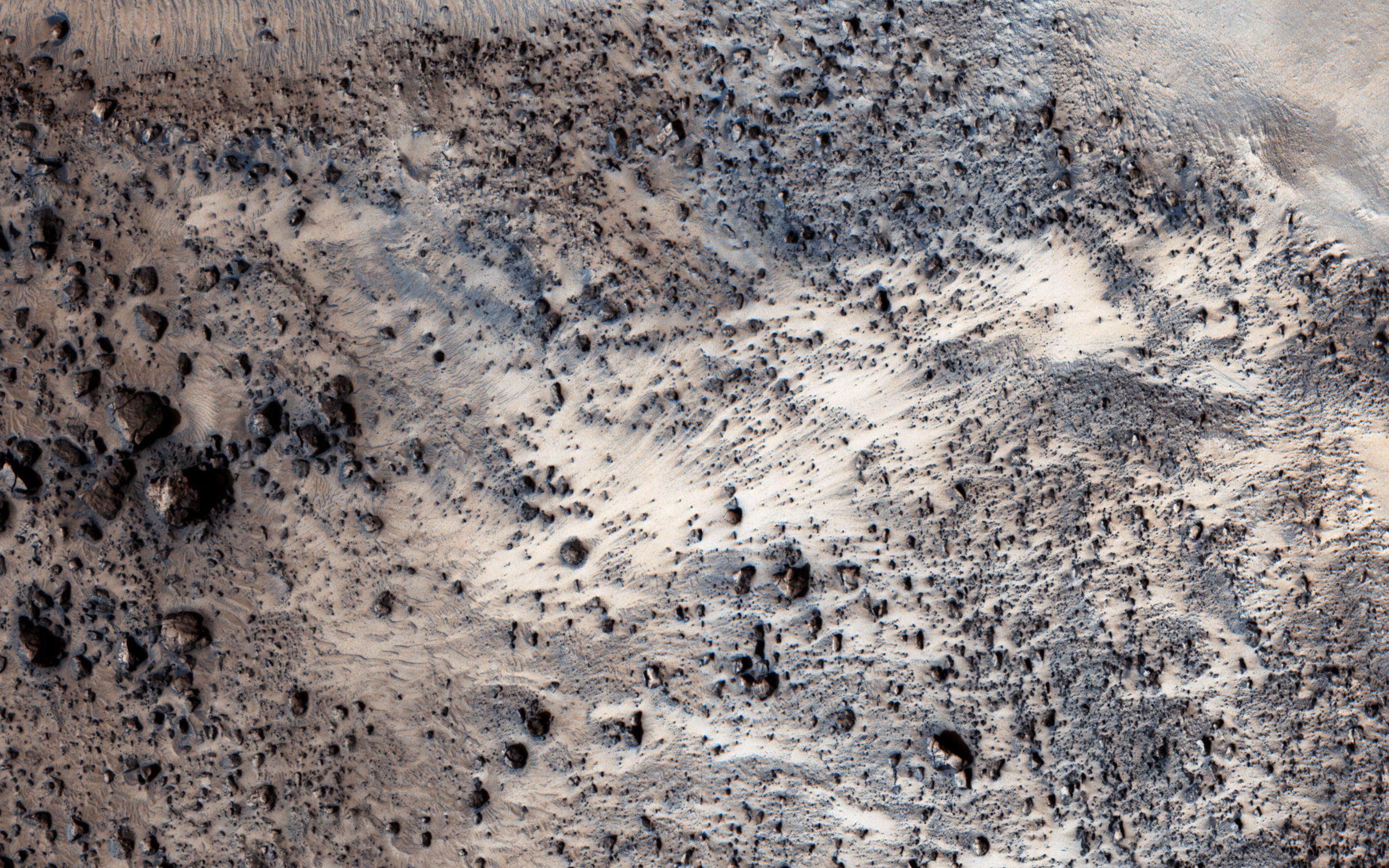
This Mars Reconnaissance Orbiter image shows a well-preserved landslide scarp and rocky deposit off the edge of a streamlined mesa in Simud Valles, a giant outflow channel carved by ancient floods. This image also finally completes a stereo pair with another observation acquired in 2007.
The stereo images can be used to measure the topography, which in turn constrains models for the strength of the mesa’s bedrock. Do look at the stereo anaglyph.
This is a stereo pair with PSP_005701_1920.
The original image scale is 31.5 centimeters (12.4 inches) per pixel (with 1 x 1 binning); objects on the order of 94 centimeters (37 inches) across are resolved. The map is projected here at a scale of 25 centimeters (9.8 inches) per pixel. North is up.
Never miss a breakthrough: Join the SciTechDaily newsletter.
Follow us on Google and Google News.