HiRISE continues to provide astronomers with interesting and revealing images of the Martian surface. The latest image is no different.
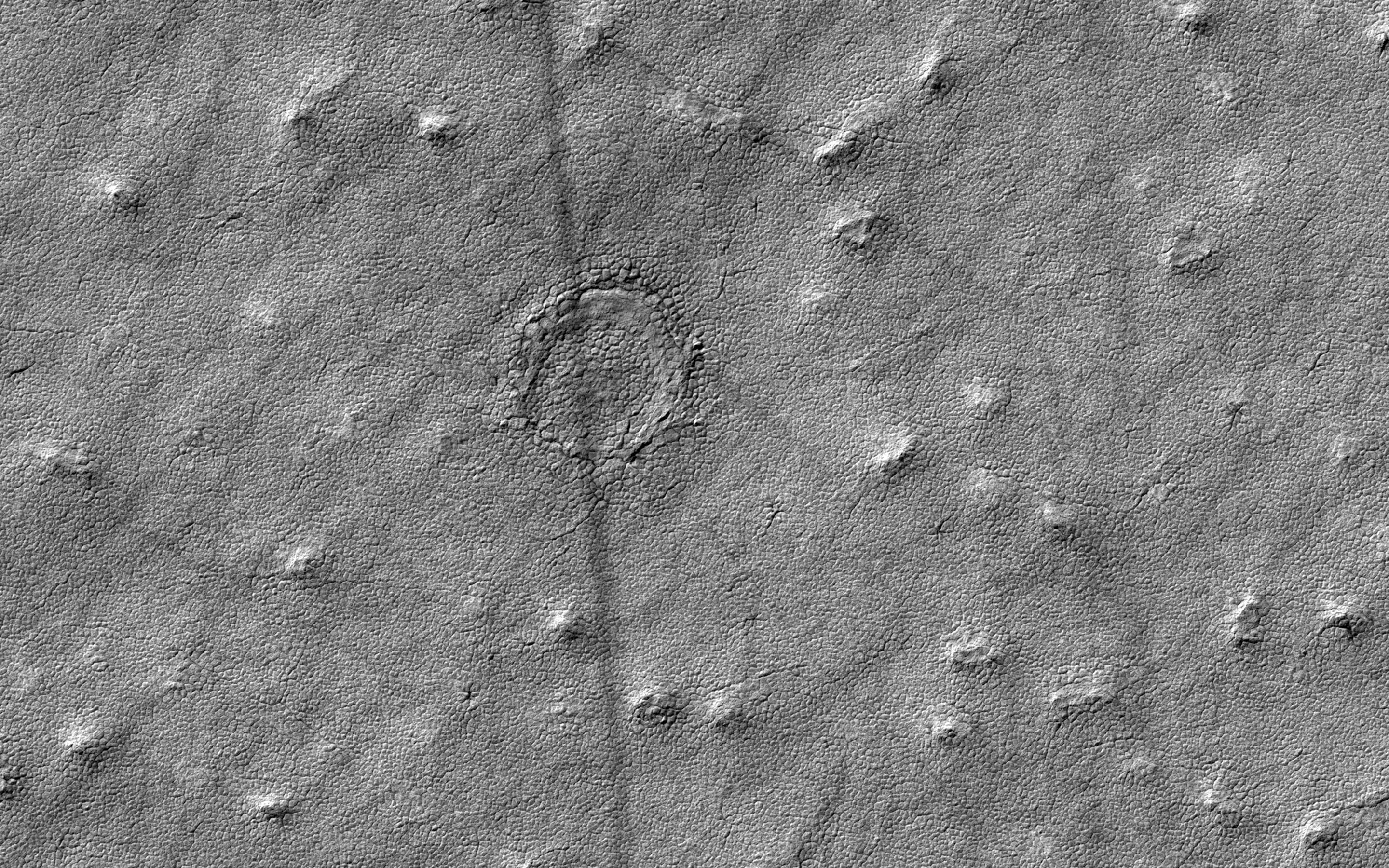
This new image from the High Resolution Imaging Science Experiment (HiRISE) on NASA’s Mars Reconnaissance Orbiter has astronomers guessing. The image provides a closer look at a circular feature that might be an impact structure on the South Polar layered deposits.
Normally scientists can measure the frequency and sizes of impact craters to estimate the age of the landscape. However, craters in icy terrain such as this are modified by processes that flatten and change them in such a manner that it is hard to say for sure if it had an impact origin.
The map is projected here at a scale of 50 centimeters (19.7 inches) per pixel. The original image scale is 49.8 centimeters (19.6 inches) per pixel (with 2 x 2 binning); objects on the order of 150 centimeters (59 inches) across are resolved. North is up.
Never miss a breakthrough: Join the SciTechDaily newsletter.
Follow us on Google and Google News.