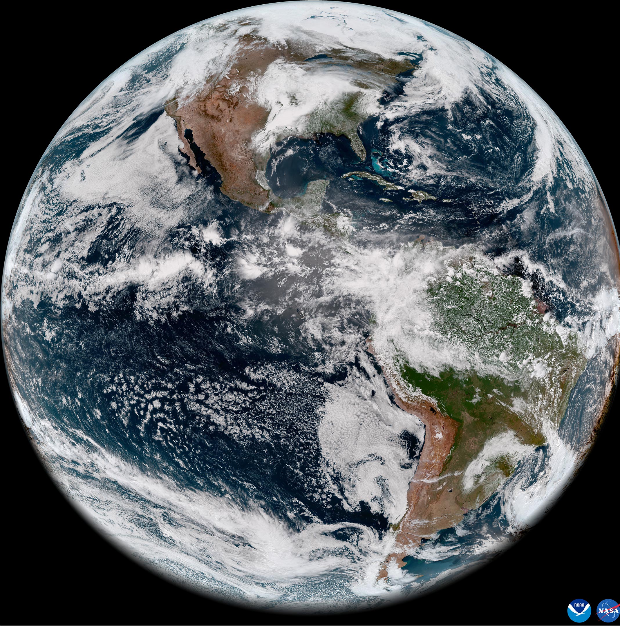
On May 11, 2022, the National Oceanic and Atmospheric Administration, or NOAA, shared the first images of the Western Hemisphere from its Geostationary Operational Environmental Satellite-T (GOES-T). Later designated GOES-18, the satellite’s Advanced Baseline Imager (ABI) instrument recently captured stunning views of Earth.
Launched by NASA on March 1, GOES-18 lifted off at 4:38 p.m. EST from Cape Canaveral Space Force Station’s Space Launch Complex 41 in Florida. The ABI views Earth with 16 different channels, each measuring energy at different wavelengths along the electromagnetic spectrum to obtain information about Earth’s atmosphere, land, and ocean.
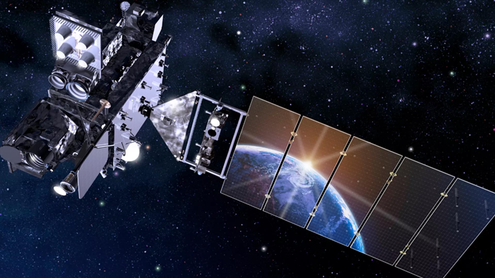
GOES-18 follows in a long line of weather satellites built in partnership between the NOAA and NASA since 1975. NASA typically manages the design, construction, and launch of the satellites, with the NOAA operating them once in orbit. The video below provides highlights from the launch and the spacecraft’s first hours in space.
The primary instrument on GOES-18 is the Advanced Baseline Imager (ABI), which provides the principal imagery and data used for weather forecasts in the U.S. ABI scans Earth five times faster than previous generations of GOES satellites, with four times the resolution and three times the number of channels. GOES-18 also carries a Geostationary Lightning Mapper (GLM) and a suite of instruments for monitoring space weather hazards.
Never miss a breakthrough: Join the SciTechDaily newsletter.
Follow us on Google and Google News.
3 Comments
We need to keep exploring and studying a certain planet that has life on it, Earth. While its important to study the other planets inside and outside our solar system, our proximity to this one makes it the easiest to study. Keep it up!
Looks like CGI to me folks… First when they let civilians explore the south “Antarctica” or whatever you want to call it. Then let us have a debate on the shape of the Earth.
There is no good evidence enough for flatbots.