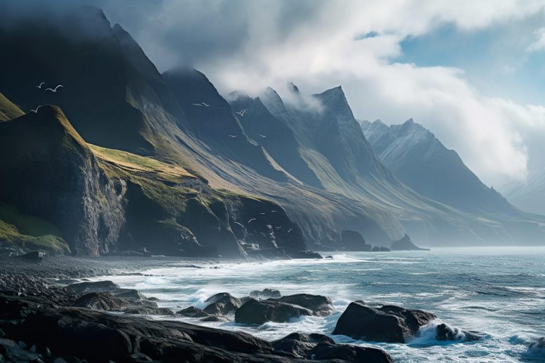
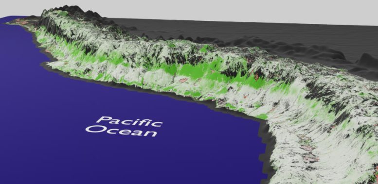
Analyzing satellite data spanning the past 20 years, the research team based at the Cavendish Laboratory in Cambridge examined how vegetation has been changing along the Pacific coast of Peru and northern Chile. This area is known for its unique and delicate arid and semi-arid environments.
The analysis revealed that certain areas experienced positive vegetation growth, known as greening, while others displayed negative trends, referred to as browning. Unsurprisingly, the changes in vegetation are influenced by things like farming and urban development or changes in land use practices.
Discovery of Significant Greening
But more interestingly this study, published in MDPI Remote Sensing, revealed the discovery of a huge section of the West Slope of the Andes undergoing significant greening in the past 20 years. This section, which extends from Northern Peru to Northern Chile, spanning a length of about 2000km, has seen its vegetation growing significantly over time. This greening trend varies with altitude, with different vegetation types at different elevations.
The research team, consisting of mathematicians, geographers, biologists, and earth scientists, used satellite images from 2000 to 2020 to observe changes in vegetation over time in this area. They plotted 450 data points and developed a mathematical model to remove artificial variations (such as cloudy days) and seasonality, and used statistical analysis to ensure that they were only analysing areas with a significant trend.
“It took three years to sort the methodology and the statistical model,” said Hugo Lepage, a mathematician at the Cavendish laboratory and first author of the study. “We really needed to bulletproof it to make sure that something was really happening on a massive scale, and it was not just a fluke.”
Ground Observations Corroborate Satellite Data
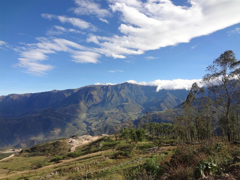
To verify what they were seeing in the data, the researchers conducted numerous field trips to make observations on the ground to corroborate their numerical statements.
“We started with a very local area to study the impact of mining on local vegetation,” explained Eustace Barnes, a geographer in the Cavendish Laboratory’s Environmental Physics Group, which ran the research. “To our surprise, the data was suggesting that the area was greening instead of browning. So, we zoomed out and realized other areas were also greening on a large scale. When we went to check on the ground, we observed a similar trend.”
Unusual Features and Climate Anomalies
Beyond the empirical observation of the greening strip itself, the researchers were struck by its surprising features.
“First, the strip ascends as we look southward, going from 170-780 m in northern Peru to 2600-4300 m in the south of Peru”, explained Barnes. “This is counterintuitive, as we would expect the surface temperatures to drop both when moving south and ascending in altitude.”
Even more surprisingly, this huge greening strip does not align with the climate zones established by the Köppen-Geiger classification – the widely used, vegetation-based, empirical climate classification system, whereas the greening and browning trends in the coastal deserts and high Andes, do match well.
“Indeed, in northern Peru, the greening strip mostly lies in the climate zone corresponding to the hot arid desert,” said Lepage. “As we scan the strip going south, it ascends to lie mostly in the hot arid steppe and finally traverses to lie in the cold arid steppe. This did not match what we expected based on the climate in those regions.”
Implications and Conclusions
The results of this study have far-reaching implications for environmental management and policymaking in the region. Although the exact cause or resulting consequences of this greening are not known, any large change (30-60% index increase) in vegetation will necessarily have an impact on ecosystems and the environment.
“The Pacific slope provides water for two-thirds of the country, and this is where most of the food for Peru is coming from too,” said Barnes. “This rapid change in vegetation, and to water level and ecosystems, will inevitably have an impact on water and agricultural planning management.”
The researchers believe their findings will contribute significantly to the scientific community’s understanding of the complex interactions between climate change and delicate ecosystems in arid and semi-arid environments.
“This is a warning sign, like the canary in the mine. There is nothing we can do to stop changes on such a large scale. But knowing about it will help to plan better for the future,” concluded Lepage.
Reference: “Greening and Browning Trends on the Pacific Slope of Peru and Northern Chile” by Hugo V. Lepage, Eustace Barnes, Eleanor Kor, Morag Hunter and Crispin H. W. Barnes, 21 July 2023, Remote Sensing.
DOI: 10.3390/rs15143628
This research was carried out by the Environmental Physics Group led by Prof. Crispin Barnes and funded by Universidad Nacional de Cañete (UNDC), dpto Lima, Peru.
Never miss a breakthrough: Join the SciTechDaily newsletter.
Follow us on Google and Google News.