Researchers found rates of sea-level rise of about a half an inch per year since 2010 — three times higher than the global average over the same period.
A Tulane University study found that sea levels along the U.S. Southeast and Gulf coasts have accelerated at record-breaking rates of half an inch per year since 2010 due to compounding effects of climate change and natural variability. The study emphasizes the urgency of addressing climate change to protect vulnerable coastlines.
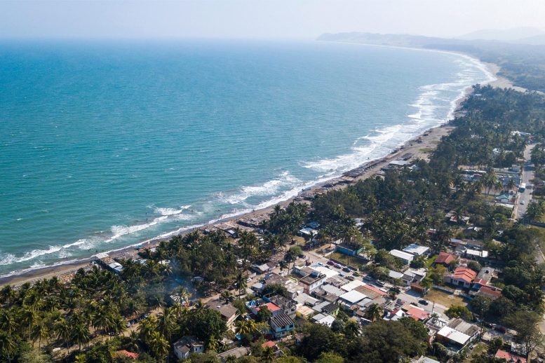
Sea levels along the U.S. Southeast and Gulf coasts have been rapidly accelerating, reaching record-breaking rates over the past 12 years, according to a new study led by scientists at Tulane University.
In the study, published today (April 10, 2023) in the journal Nature Communications, researchers said they had detected rates of sea-level rise of about a half an inch per year since 2010. They attribute the acceleration to the compounding effects of man-made climate change and natural climate variability.
“These rapid rates are unprecedented over at least the 20th century and they have been three times higher than the global average over the same period,” says Sönke Dangendorf, lead author and the David and Jane Flowerree Assistant Professor in the Department of River-Coastal Science and Engineering at Tulane.
The authors studied a combination of field and satellite measurements since 1900, pinpointing the individual contributors to the acceleration.
“We systematically investigated the different causes, such as vertical land motion, ice-mass loss, and air pressure, but none of them could sufficiently explain the recent rate,” said Noah Hendricks, co-author and undergraduate student in Dangendorf’s team at his former institution, Old Dominion University in Norfolk, Virginia.
“Instead, we found that the acceleration is a widespread signal that extends from the coasts of the Gulf of Mexico up to Cape Hatteras in North Carolina and into the North Atlantic Ocean and Caribbean Seas, which is indicative of changes in the ocean’s density and circulation.”
Over the past 12 years this entire area, known as the Subtropical Gyre, has been expanding primarily due to changing wind patterns and continued warming. Warmer water masses need more space and thus lead to a rise in sea level.
Man-Made Climate Change and Natural Peaks Combine
The scientists suggest that the recent acceleration was an unfortunate superposition of man-made climate change signals and a peak in weather-related variability that lasted over several years. They conclude that the rates will likely return to the more moderate values as predicted by climate models in the coming decades.
“However, this is no reason to give the all clear,” said Torbjörn Törnqvist, co-author and the Vokes Geology Professor in the Department of Earth and Environmental Sciences at Tulane. “These high rates of sea-level rise have put even more stress on these vulnerable coastlines, particularly in Louisiana and Texas where the land is also sinking rapidly.”
Dangendorf said the “results, once again, demonstrate the urgency of the climate crisis for the Gulf region. We need interdisciplinary and collaborative efforts to sustainably face these challenges.”
Reference: “Acceleration of U.S. Southeast and Gulf coast sea-level rise amplified by internal climate variability” 10 April 2023, Nature Communications.
DOI: 10.1038/s41467-023-37649-9
Also collaborating on the study were Qiang Sun from Tulane, John Klinck and Tal Ezer from Old Dominion University, Thomas Frederikse from the Jet Propulsion Laboratory in Pasadena, California , Francisco M. Calafat from the National Oceanography Centre in Liverpool, UK, and Thomas Wahl from the University of Central Florida in Orlando.
Never miss a breakthrough: Join the SciTechDaily newsletter.
Follow us on Google and Google News.
5 Comments
Thank God that Obuumer & Bush(lite) aren’t affected. Martha’s vineyard must be protected at all costs!
That photo looks suspiciously like Jamaica. It is clearly neither the US Southeast coast nor the Gulf coast.
Higher levels are a result of Greenland and Arctic Canadian ice melt. Fresh water weighs less than salt water, causing it to float out over the Atlantic, south and east of Greenland, where it is then forced, or “pushed” toward the Southern US coastline by mid Atlantic swells.
Are you suggesting that people (and fish) can swim in freshwater if only they go to the carolinas or the Gulf of Mexico?
“These rapid rates are unprecedented over at least the 20th century and they have been three times higher than the global average over the same period,”
That is highly suggestive of subsidence being responsible for two-thirds of the apparent anomalous sea level rise. The authors talk around vertical land movement; however, what is notably missing is any measurements of subsidence with differential-GPS. I think that there is too much trust put in satellite altimetry, particularly over the oceans. Over land, it is possible to obtain true altitude of the satellites. Over the oceans, a gravity model has to be used to estimate the satellite altitude because mascons will cause the satellite to lower its orbit, making it appear that the ocean has risen. The spatial resolution of the gravity model is not as high as what is being claimed to be measured.
The claimed recent acceleration in SL rise is not evident in this NASA animation:
https://sealevel.nasa.gov/resources/126/video-tracking-30-years-of-sea-level-rise/
Why is there no mention of the decrease in global sea level in 2011? It is interesting because NOAA shows a temperature spike for that year.