
After a cold winter, a shift in weather patterns has unleashed a blast of early summer heat across Alaska. On May 9, 2020, temperatures hit 69°F (21°C) in Anchorage, just one degree shy of the record.
For a state with plenty of mountains, glaciers, and permafrost, spring and summer heat can bring more than just greening leaves and pollen in the air. It can also thaw soils in ways that encourage landslides.
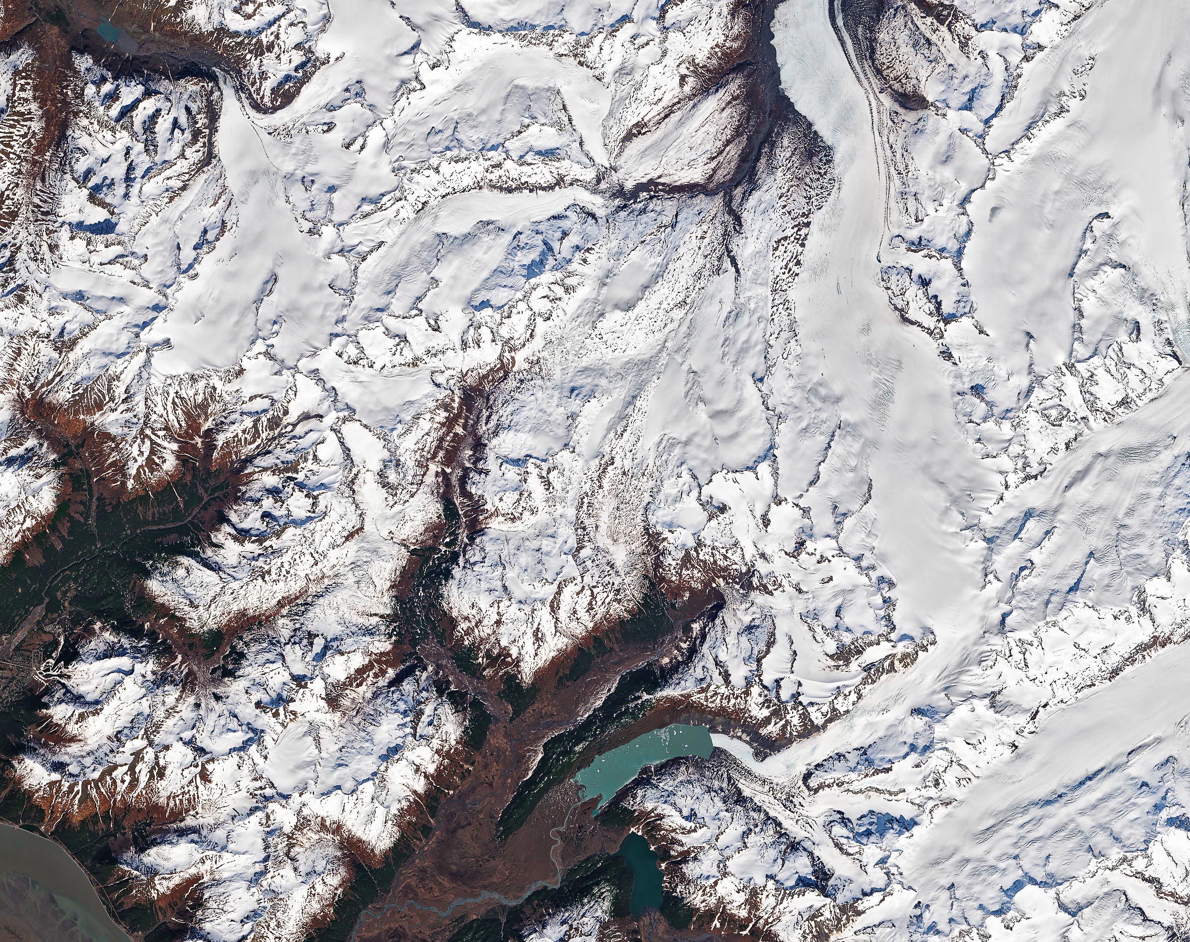
That was likely what happened on Yudi Peak, a mountain near Anchorage, in May 2020. In the early days of the month, a “wedge failure”—a type of landslide that occurs along multiple planes—sent rocky debris sliding down the snow-topped mountain, according to University of Sheffield landslide watcher Dave Petley. Starting from an elevation of 1430 meters (4,690 feet), debris slid across roughly 2 kilometers (1 mile) before halting at an elevation of 1110 meters.
On May 13, 2020, the Operational Land Imager (OLI) on Landsat 8 captured this image of the trail of landslide debris. For a closer view, Alpine Air Alaska has posted aerial photographs and a video.
“It is well established that Alaska sees large landslides in the spring, and that their increasing size and frequency is driven by global heating,” Petley wrote.
NASA Earth Observatory images by Joshua Stevens, using Landsat data from the U.S. Geological Survey.
Never miss a breakthrough: Join the SciTechDaily newsletter.
Follow us on Google and Google News.