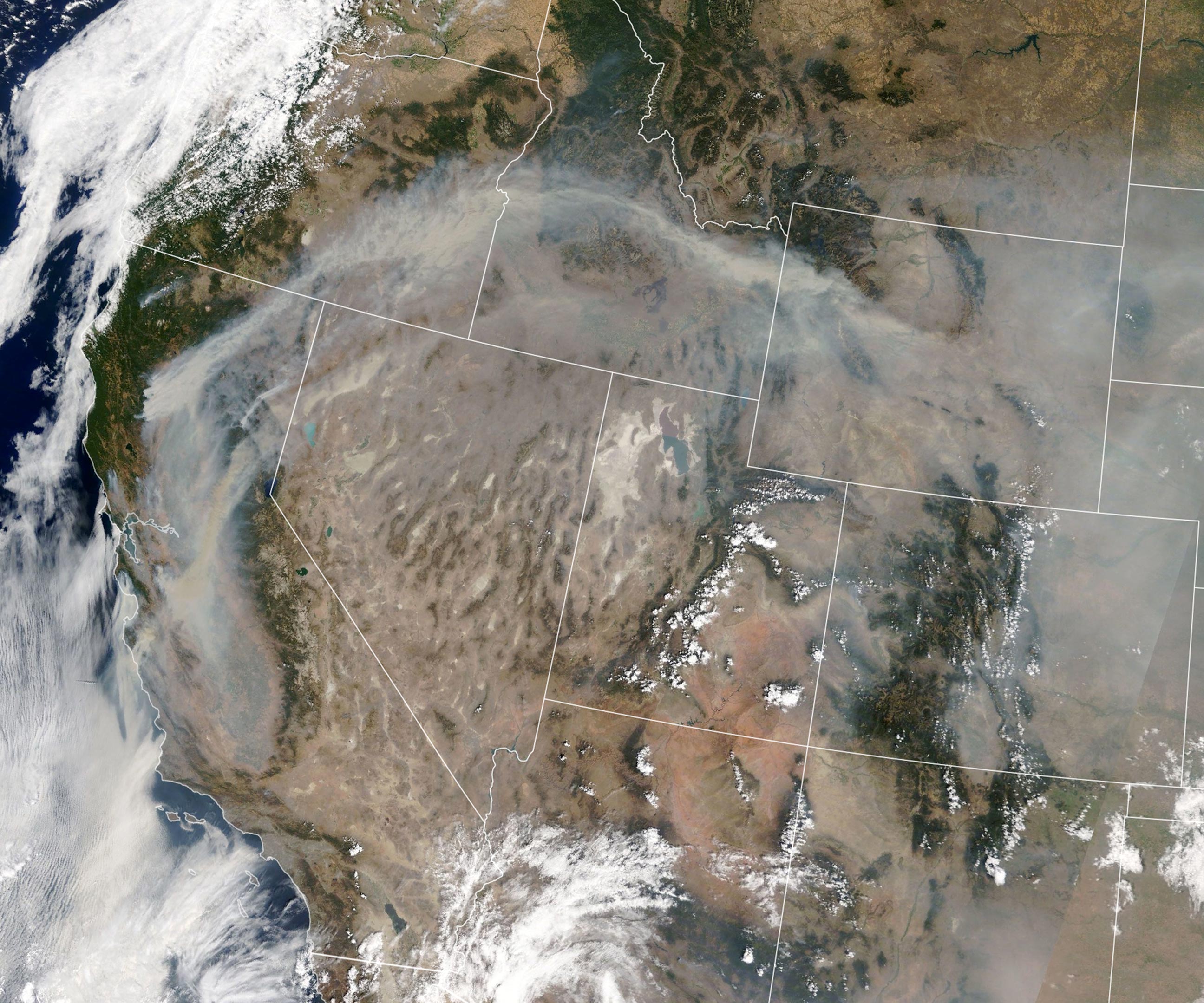
On August 21, 2020, the Moderate Resolution Imaging Spectroradiometer on NASA’s Terra satellite captured natural-color imagery of smoke plumes from wildfires in California and other parts of the American West. As of August 21, fires had caused more than 100,000 people to evacuate their homes in California. The blazes threatened thousands of buildings and took at least six lives, according to news media. Fires have consumed more than 700,000 acres (2,800 square miles) in California since August 15.
NASA Earth Observatory image by Lauren Dauphin, using MODIS data from NASA EOSDIS/LANCE and GIBS/Worldview.
- 1200+ Mile Trail of Smoke Stretches Across California in These NASA Terra Images of the Wildfires
- Smoke Shrouds the U.S. West After More Than 10,000 Lightning Strikes Ignite Hundreds of Wildfires Across California
- NASA’s Terra Satellite Captures the Scene of Intense Wildfires in California
- Thick Smoke Obscures California Skies After Wildfires Exploded Across the North
Never miss a breakthrough: Join the SciTechDaily newsletter.
Follow us on Google and Google News.