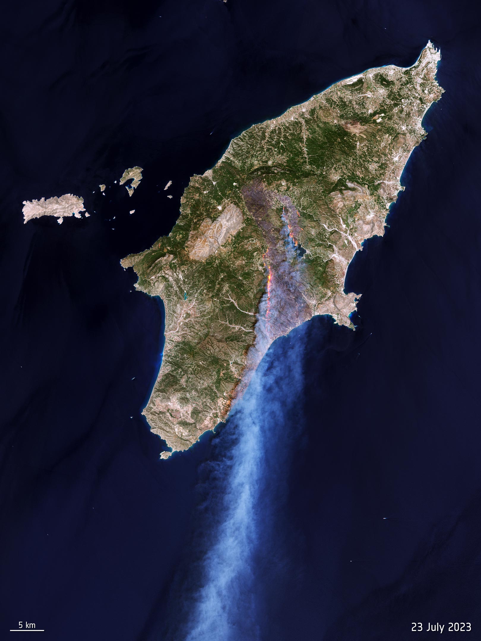
This summer, Europe was severely impacted by a heatwave, resulting in numerous wildfires, with the Greek island of Rhodes being severely affected. Satellite images reveal the extensive damage, with around 18,000 hectares of land devastated between July 18 and 28.
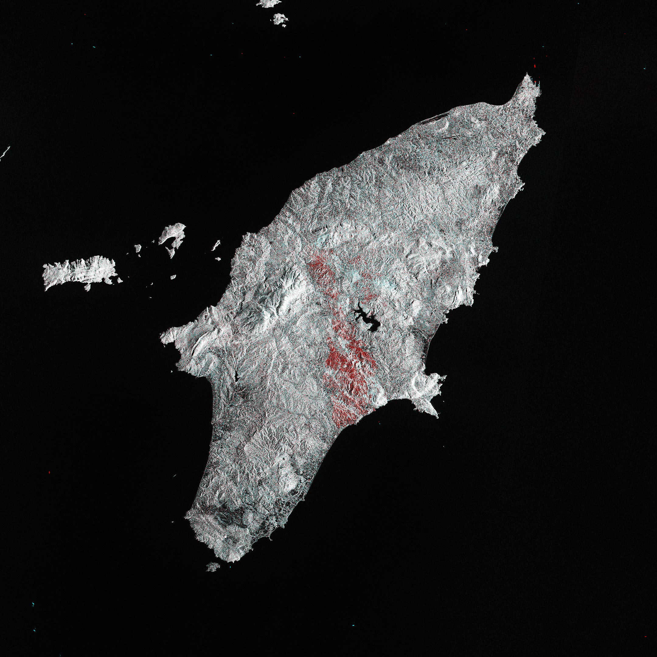
This summer, Europe experienced a relentless heatwave, fueling wildfires in several countries. This Copernicus Sentinel-1 image shows the burn scars left by fires on the Greek island of Rhodes.
Between July 18 and 28, 2023, wildfires broke out on Rhodes. Fierce blazes ravaged almost 18,000 hectares (70 square miles) of land, destroyed buildings, trapped animals, and led to a mass evacuation of thousands of tourists.
This image uses two Copernicus Sentinel-1 radar images, one from July 12 and one from July 24, to show how the land changed between the two acquisitions.
Shades of grey indicate areas where little or no change occurred. Shades of red, mainly spreading from the mountainous region in the center of the island to the southern coast, depict the extent of the burned area – this covers roughly 13,000 hectares (50 square miles).
The lake of Gadoura, visible in black in the center of the island, was surrounded by the fires, as evident from red areas.
The capital town of Rhodes can be seen as a white area in the northeastern most tip of the island, while the outline of Rhodes International Airport stands out in black on the coast southwest of the town. The runways in black south of the airport are part of Rhodes Maritsa Airport.
With global temperatures rising and a surge of extreme weather events, disasters such as wildfires have notably increased around the world. Earth observing satellites like the Copernicus Sentinel missions offer an eye in the sky to carefully monitor and map these crisis situations at both regional and global scales, and provide valuable information for emergency response.
ESA recently reopened its World Fire Atlas, which, using Copernicus Sentinel-3 data, offers an insight into the distribution of individual fires across Earth’s surface.
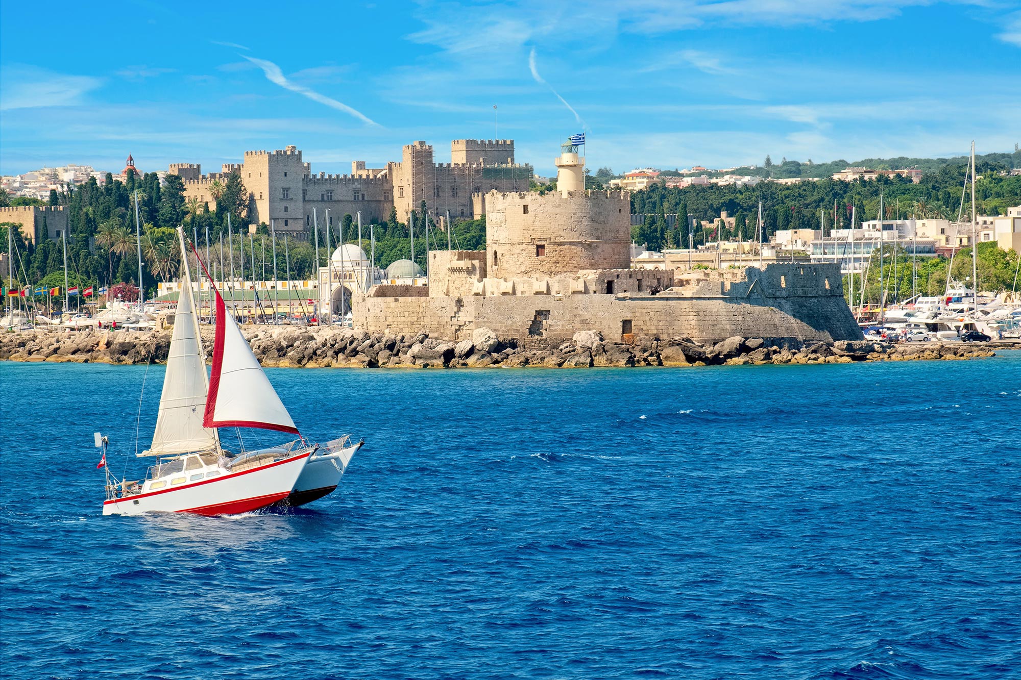
Located in the southeastern Aegean Sea, Rhodes is the principal island of the Dodecanese archipelago, representing a significant geologic and geographic entity of Greece. Spanning an area of approximately 1,400 square kilometers (540 square miles), the island stands as a testament to the intricate interplay of tectonic processes, erosion, and sedimentary accumulation over millions of years.
Geologically, Rhodes has a diverse makeup, largely consisting of metamorphic and igneous rocks, underpinning much of its rugged terrain and coastline. This foundation reveals the island’s tumultuous geological past, shaped by the convergence of the African and Eurasian tectonic plates. Evidence of this can be found in the island’s fold and thrust belts, which bear witness to the powerful forces that once molded its topography.
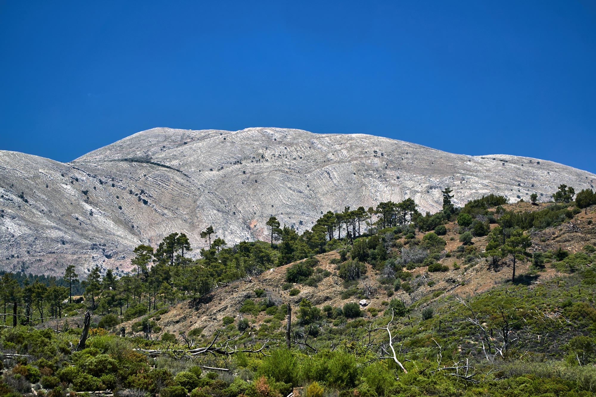
The island’s relief is characterized by a series of undulating hills and mountains, with the highest peak, Ataviros, soaring to an elevation of over 1,200 meters (4,000 feet). These upland areas, primarily composed of limestone and interspersed with pockets of dense pine forests, provide valuable insights into the region’s karstic processes and the erosional patterns induced by the island’s Mediterranean climate.
Rhodes’s coastline, stretching for almost 220 kilometers (140 miles), is a study in contrasts. The eastern shores, facing the Aegean, are generally characterized by gently sloping beaches and coves, a result of the Aegean basin’s relatively sheltered nature and the presence of finer sedimentary deposits. In contrast, the western coast, which meets the Mediterranean, exhibits more rugged and abrupt formations, shaped by the direct impact of prevailing waves and winds.
With its rich geomorphological features, Rhodes offers a unique lens into the dynamic geological history of the Aegean region and stands as a living laboratory for those keen to delve into the Earth’s ever-evolving narrative.
Never miss a breakthrough: Join the SciTechDaily newsletter.
Follow us on Google and Google News.