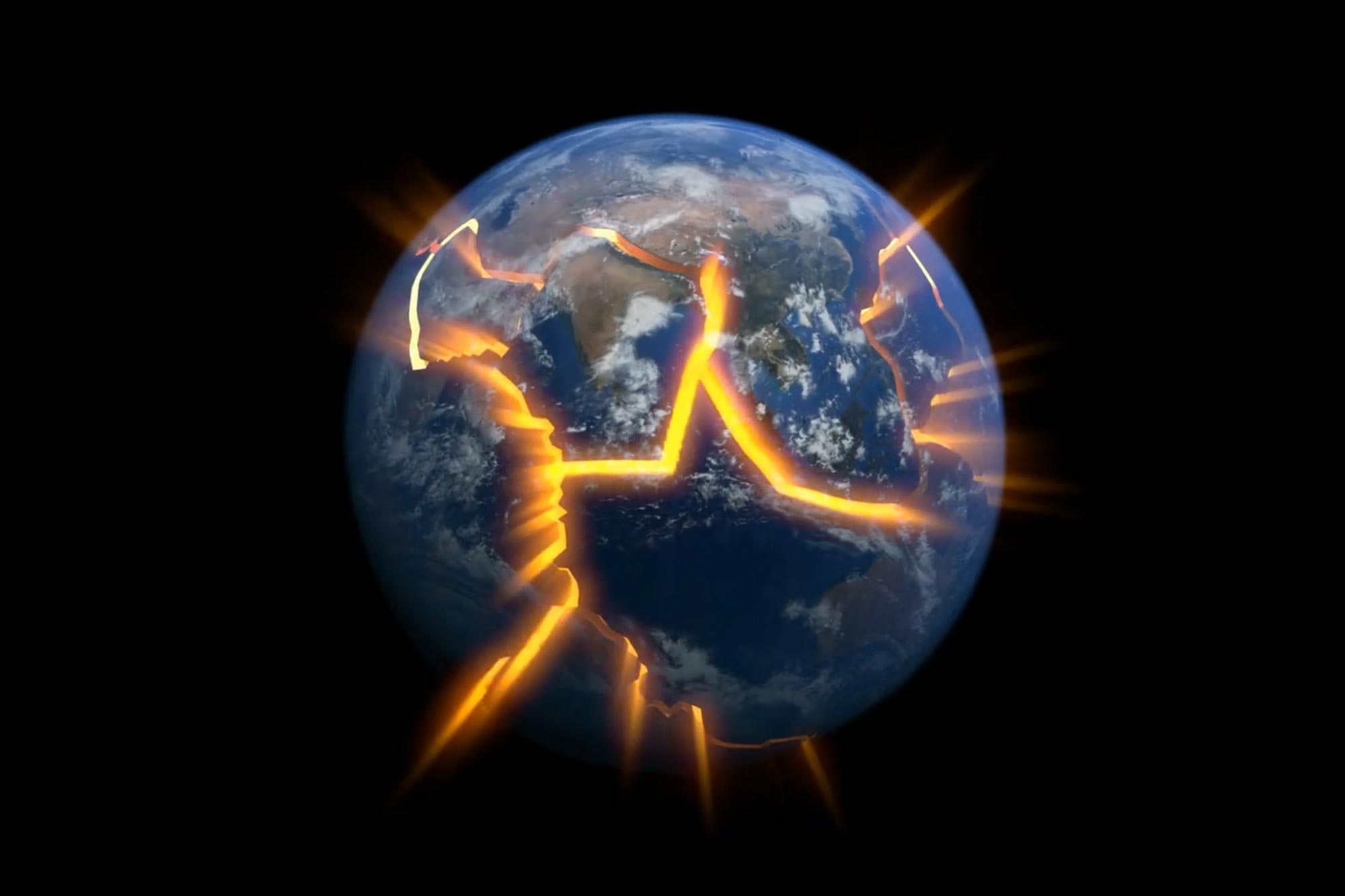
A study of the East African Rift reveals that ancient heating and dehydration can strengthen continental crust, reshaping how and where continents break apart.
Researchers at Tulane University, working with an international group of scientists, have uncovered why some regions of Earth’s crust remain unusually strong while others fracture and pull apart. The discovery challenges long-standing ideas about how continents weaken and eventually split.
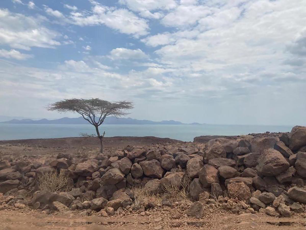
The findings, published in Nature, focus on a segment of the East African Rift, one of the rare places where continental breakup is actively unfolding today. The research team concentrated on the Turkana Depression, which spans northern Kenya and southern Ethiopia, to investigate why certain parts of the crust resist deformation instead of tearing open.
When thinning makes plates stronger
In collaboration with scientists from the University of Montana, Imperial College London, Addis Ababa University, the University of Nairobi, and Dedan Kimathi University, the researchers found that a portion of the African tectonic plate that had been stretched and thinned in the distant past is now behaving as a rigid block. Rather than weakening, this zone is actively resisting deformation, contrary to prevailing geological expectations.
The team traced this unexpected strength to a major heating event that occurred about 80 million years ago. During this episode, deep layers of the plate lost much of their water and carbon dioxide. This dehydration altered the physical properties of the rock, leaving it denser, stiffer, and far more resistant to bending and breaking.
“The team brought a wide range of skills and data sets to visualize the plate structure and its properties, and our modelling systematically eliminated the possible factors controlling where plate rifting initiates,” said Cynthia Ebinger, a Tulane professor in the Department of Earth and Environmental Sciences in the School of Science and Engineering.
Imaging deformation in real time
To uncover how these hidden processes operate today, Tulane scientists led extensive earthquake and GPS monitoring across the region. By combining measurements of slow, continuous plate motion with sudden shifts caused by earthquakes, the researchers built detailed three-dimensional maps of the crust.
These maps reveal that active deformation and volcanism are largely bypassing the previously thinned zone, flowing instead around it. As a result, the area that once seemed most vulnerable now shows remarkably little deformation, offering new insight into how ancient geological events can shape the future evolution of continents.
“Our collaborative research shows that volcanism and plate stretching that form deep basins avoid the thin and dry parts of the continental plates,” said Martin Musila, whose PhD research at Tulane explored the tectonic conundrum that was resolved in the paper. “In this area, water and CO2 in the deep layers of the plate were extracted by volcanism 80 million years ago, and dehydration makes the plate stronger and seismic velocities faster.”
Failed rifts reshape future breakups
The findings help explain how failed rifts—ancient attempts by continents to split—can actually make tectonic plates stronger and more resistant to future breakup. The research not only deepens understanding of earthquake and volcanic hazards but also informs models used to locate mineral and energy resources in ancient rift zones such as the Gulf Coast.
Reference: “The importance of past rifting in large igneous province development” by R. Kounoudis, I. D. Bastow, C. J. Ebinger, S. Goes, P. Zhou, M. Musila, C. S. Ogden and A. Ayele, 5 November 2025, Nature.
DOI: 10.1038/s41586-025-09668-7
The project was jointly funded by the U.S. National Science Foundation and the U.K. Natural Environment Research Council, with additional support from the U.K. Global Challenges Research Fund and the National Commission for Science, Technology and Innovation in Kenya.
Never miss a breakthrough: Join the SciTechDaily newsletter.
Follow us on Google and Google News.