

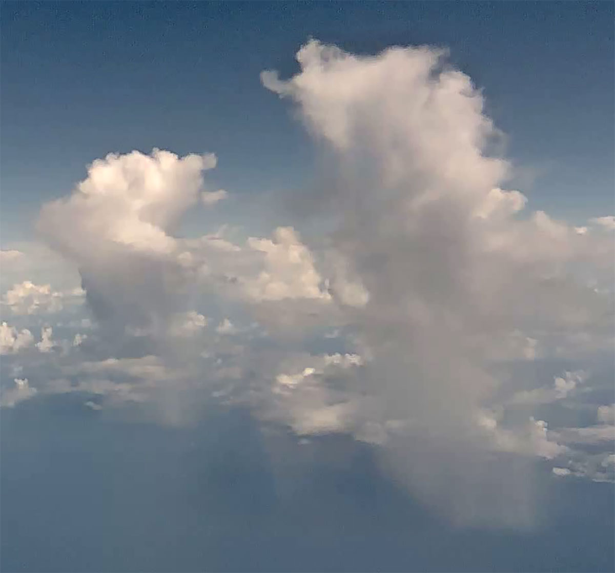
Deep, clean convective clouds can reach high supersaturation levels that may allow aerosols to intensify cloud growth.
Tiny aerosol particles can change how clouds behave, but scientists have long debated whether they can actually make tropical storm clouds grow stronger. The question matters because deep convective clouds help shape rainfall, lightning, and climate, yet the small particles that seed cloud droplets can alter the physics inside them in subtle ways.
One proposed mechanism is called condensational aerosol convective invigoration. It depends on clouds reaching high water vapor supersaturation, a state in which the air contains more water vapor than would normally remain in equilibrium. Under those conditions, adding aerosol particles can form many extra droplets, boost condensation, release more latent heat, and potentially strengthen rising air currents inside convective clouds.
Past aircraft measurements generally did not find the high quasi-steady-state supersaturation needed for this process. But that absence did not necessarily mean the conditions never occurred. Many earlier observations focused on clouds where high supersaturation would be less likely, including relatively polluted clouds, shallow warm clouds, or clouds sampled below the deeper convective regions where precipitation, droplet coalescence, and fast updrafts can reduce droplet surface area and allow supersaturation to build.
Aircraft data target deeper clouds
A new study published in Advances in Atmospheric Sciences examined aircraft observations from NASA’s Cloud, Aerosol and Monsoon Processes Philippines Experiment, which took place over the Philippines and nearby tropical oceans in 2019. An international team from China, the US, and Israel inferred quasi-steady-state supersaturation using measured updraft speeds and cloud droplet size distributions. The approach captures the balance between water vapor produced as air rises and water vapor removed as it condenses onto cloud droplets.
The results show that tropical convective clouds can reach much higher supersaturation than comparable aircraft-based measurements had previously documented. The inferred quasi-steady-state supersaturation rose with altitude and reached about 10% near −5°C, where the updraft clouds were still dominated by supercooled liquid droplets. At colder temperatures, the inferred values continued to climb, but ice formation made the liquid phase estimates increasingly uncertain.
The finding is reinforced by a newly published companion study from the ESCAPE aircraft campaign over coastal Texas and Louisiana. That study independently found rare but extreme quasi-steady-state supersaturations of about 11% in deep convective updrafts. Together, the results support the idea that high water vapor supersaturation occurs in the specific cloud environments where condensational aerosol convective invigoration is expected.
The strongest reliable values appeared in vigorous updrafts with low droplet concentrations. When droplet concentrations increased, the total cloud droplet surface area also increased, and the inferred supersaturation decreased. That pattern matches the physics of enhanced condensation onto a larger number of droplets.
Supersaturation supplies the fuel
The observations do not prove that aerosols strengthened the clouds in these cases. Instead, they establish a more basic point: the atmospheric conditions required for condensational aerosol invigoration can exist in real tropical convective clouds.
High supersaturation acts as the available fuel for the process. If fine or ultrafine aerosol particles are added to that environment, they could nucleate new droplets, increase condensation, and release additional latent heat into the cloud.
The larger lesson is that the mechanism may be easy to miss unless scientists sample the right clouds. Deep, clean oceanic convective clouds are more likely to develop the high supersaturation conditions needed to test the idea.
“Previous studies looked at polluted or shallow clouds—types that don’t typically create the high-supersaturation conditions needed for condensational invigoration. So it’s no surprise they didn’t see that mechanism in action,” said Daniel Rosenfeld of The Hebrew University of Jerusalem and Wuhan University, who participated in both studies. “Our observations show: if you want to see this mechanism in action, you need to look at deep, clean clouds over the ocean.”
Cleaner comparisons come next
The next step is to test the process more directly. Future aircraft campaigns will need to compare clean and polluted tropical convective clouds, especially their strongest updraft regions, while more clearly separating the roles of liquid droplets and ice.
“Ultimately, our goal is to improve the physical understanding and prediction of aerosol effects on deep convection, rainfall, lightning, and climate,” said Rosenfeld.
References:
“Aircraft-observed High Supersaturation Indicates the Potential of Aerosol Convective Invigoration Effect” by Zengxin Pan, Daniel Rosenfeld, Lin Zang, Feiyue Mao and Jiwen Fan, 18 June 2026, Advances in Atmospheric Sciences.
DOI: 10.1007/s00376-026-5894-y
“Quasi-Steady State Supersaturation: Do High Values Derived From ESCAPE Represent Real High Supersaturations and the Potential for Condensational Invigoration?” by Saurabh Patil, Greg M. McFarquhar, Yongjie Huang, Greg Roberts, Mengistu Wolde, Leonid Nichman, Cuong Nguyen, Keyvan Ranjbar, Natalia Bliankinshtein, Amanda Richter, Pavlos Kollias and Daniel Rosenfeld, 10 June 2026, Journal of Geophysical Research: Atmospheres.
DOI: 10.1029/2025JD045547
Never miss a breakthrough: Join the SciTechDaily newsletter.
Follow us on Google and Google News.
1 Comment
There is also no mention of the role that might be played by the kind of bacteria that is known to inhibit frost developing on strawberries. Why hypothesize when “The science is settled?” /sarc