Study shows continental breakup causes deep Earth waves, leading to the rise of topographic features like escarpments and plateaus.
A team of scientists led by the University of Southampton has answered one of the most puzzling questions in plate tectonics: how and why ‘stable’ parts of continents gradually rise to form some of the planet’s greatest topographic features.
In their study, recently published in Nature, the researchers examined the effects of global tectonic forces on landscape evolution over hundreds of millions of years. They found that when tectonic plates break apart, powerful waves are triggered deep within the Earth that can cause continental surfaces to rise by over a kilometer.
The Mystery of Escarpments and Plateaus
These findings help resolve a long-standing mystery about the dynamic forces that shape and connect some of the Earth’s most dramatic landforms – expansive topographic features called ‘escarpments’ and ‘plateaus’ that profoundly influence climate and biology.
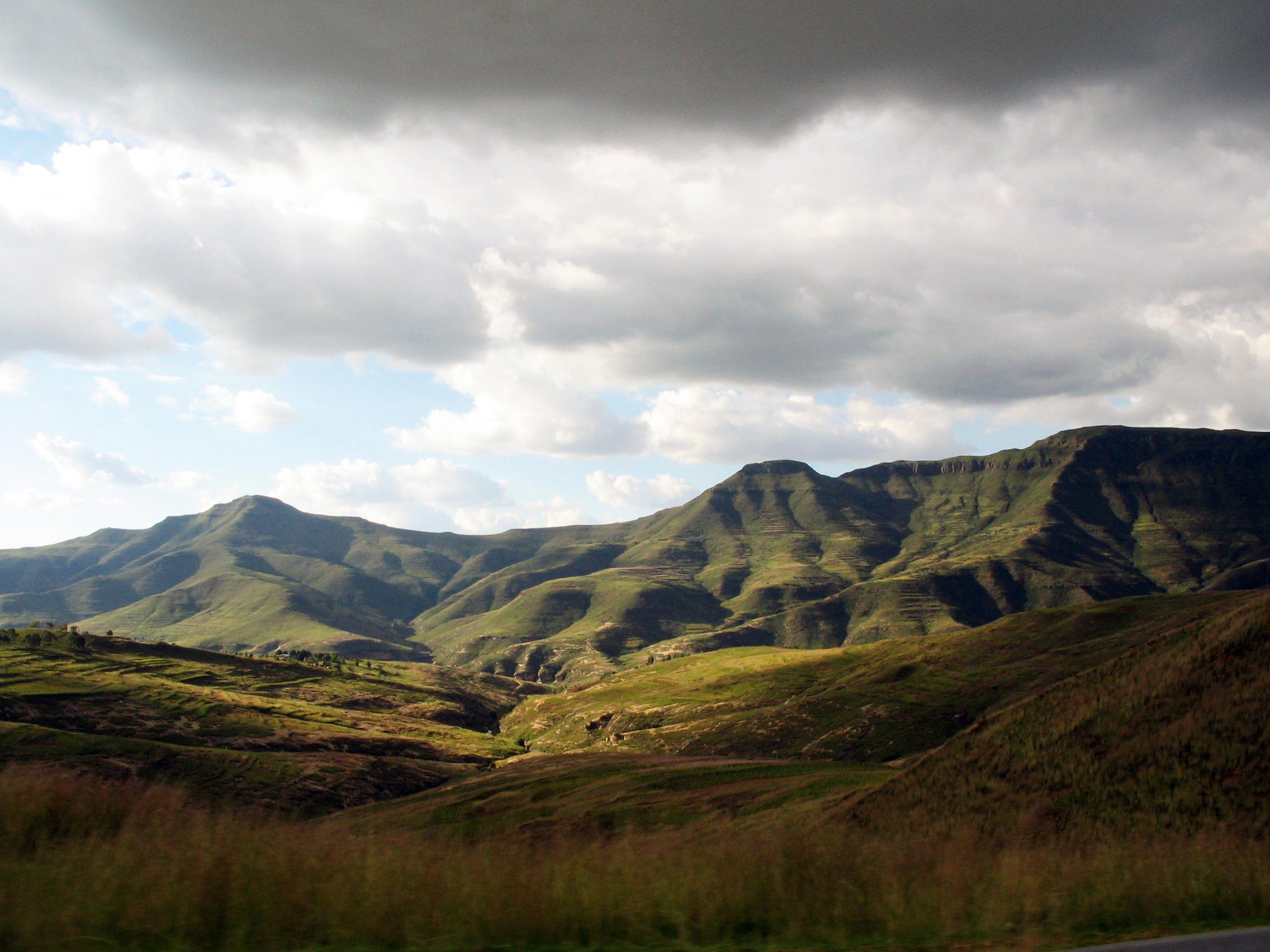
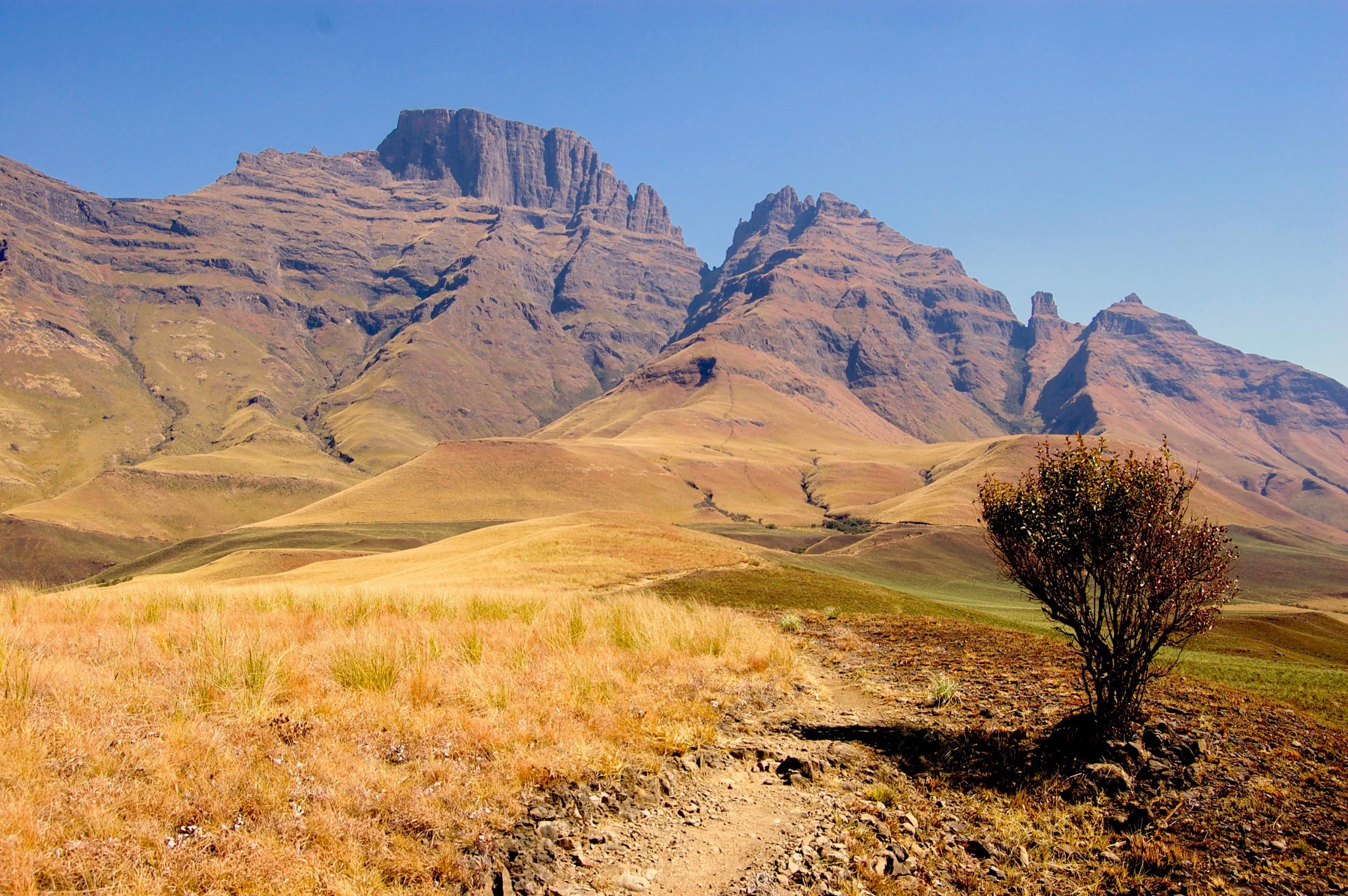
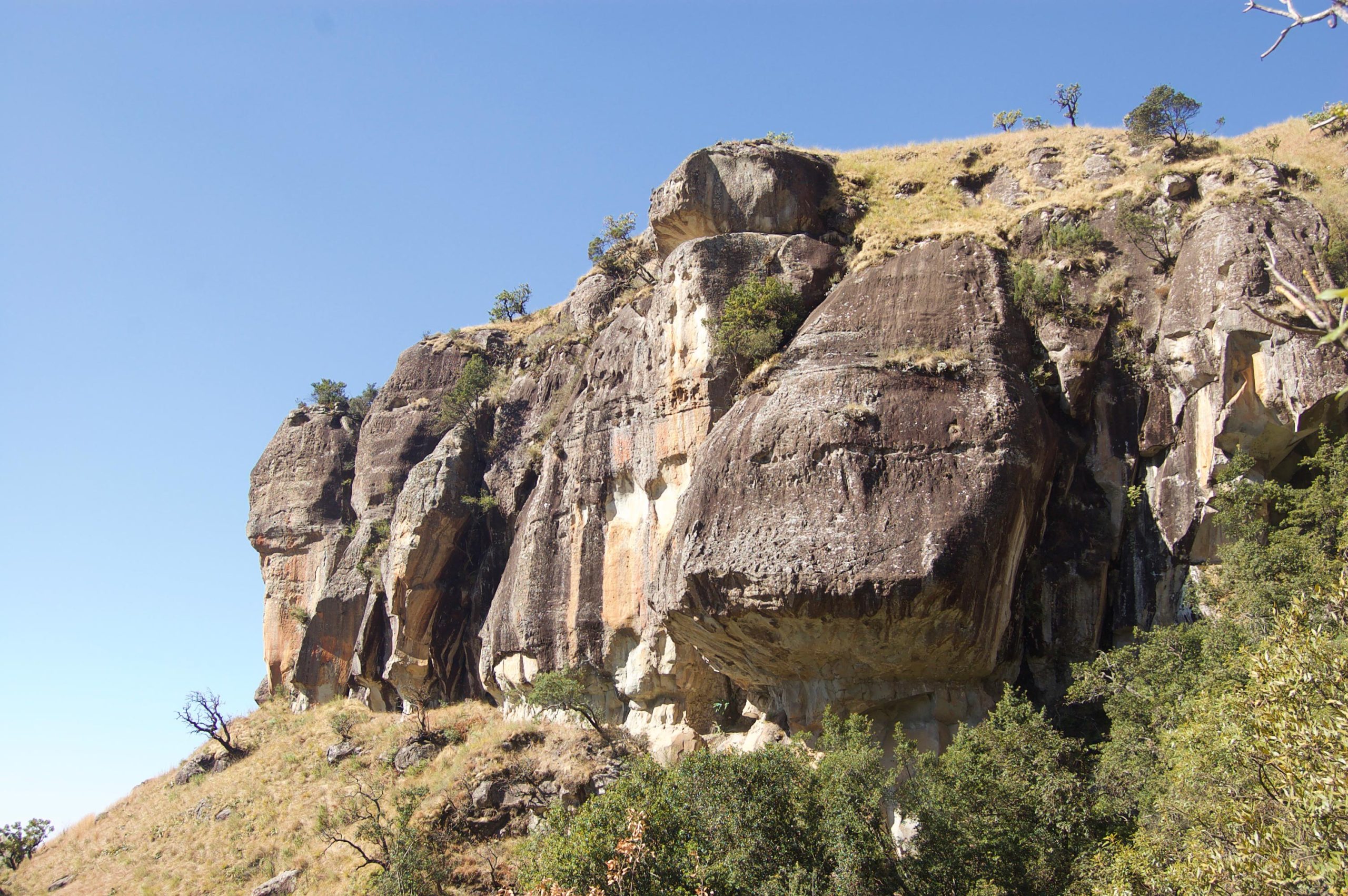
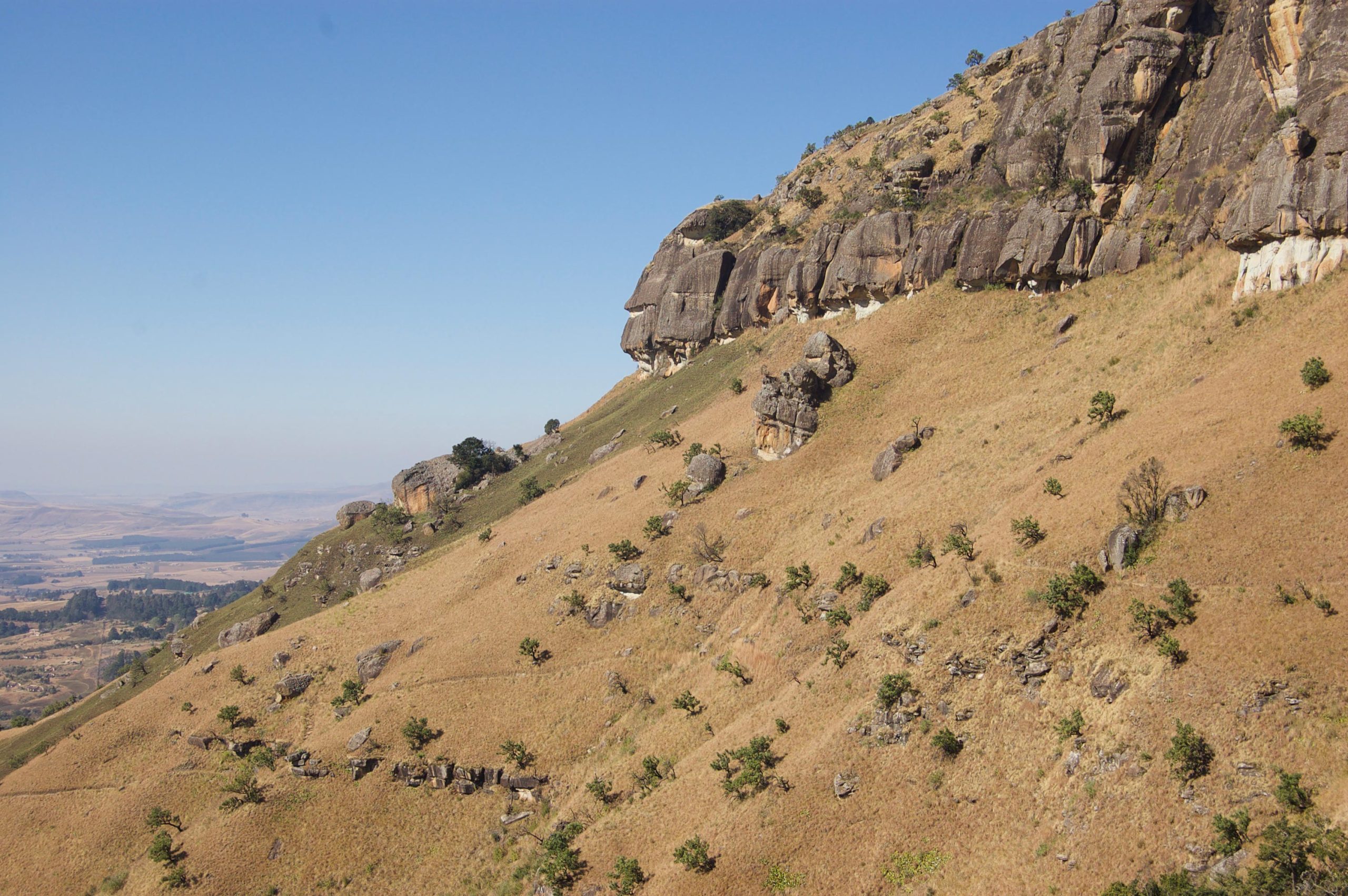
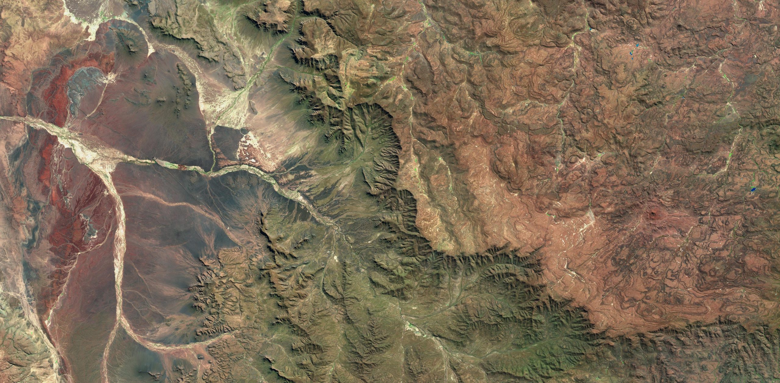
“Scientists have long suspected that steep kilometer-high topographic features called Great Escarpments — like the classic example encircling South Africa — are formed when continents rift and eventually split apart. However, explaining why the inner parts of continents, far from such escarpments, rise and become eroded has proven much more challenging. Is this process even linked to the formation of these towering escarpments? Put simply, we didn’t know,” said lead author Tom Gernon, Professor of Earth Science at the University of Southampton.
The vertical motions of the stable parts of continents, called cratons, remain one of the least understood aspects of plate tectonics.
The team from the University of Southampton, including Dr. Thea Hincks, Dr. Derek Keir, and Alice Cunningham, collaborated with colleagues from the Helmholtz Centre Potsdam – GFZ German Research Centre for Geosciences and the University of Birmingham to address this fundamental question.
Their results help explain why parts of the continents previously thought of as ‘stable’ experience substantial uplift and erosion, and how such processes can migrate hundreds or even thousands of kilometers inland, forming sweeping elevated regions known as plateaus, like the Central Plateau of South Africa.
Modeling Continental Uplift and Erosion
Building on their study linking diamond eruptions to continental breakup, published last year in Nature, the team used advanced computer models and statistical methods to interrogate how the Earth’s surface has responded to the breakup of continental plates through time.
They discovered that when continents split apart, the stretching of the continental crust causes stirring movements in Earth’s mantle (the voluminous layer between the crust and the core).
Professor Sascha Brune, who leads the Geodynamic Modelling Section at GFZ Potsdam, said: “This process can be compared to a sweeping motion that moves towards the continents and disturbs their deep foundations.”
Professor Brune and Dr. Anne Glerum, also based at Potsdam, ran simulations to investigate how this process unfolds. The team noticed an interesting pattern: the speed of the mantle ‘waves’ moving under the continents in their simulations closely matched the speed of major erosion events that swept across the landscape in Southern Africa following the breakup of the ancient supercontinent Gondwana.
The scientists pieced together evidence to propose that the Great Escarpments originate at the edges of ancient rift valleys, much like the steep walls seen at the margins of the East African Rift today. Meanwhile, the rifting event also sets about a ‘deep mantle wave’ that travels along the continent’s base at about 15-20 kilometers per million years.
They believe that this wave convectively removes layers of rock from the continental roots.
“Much like how a hot-air balloon sheds weight to rise higher, this loss of continental material causes the continents to rise – a process called isostasy,” said Professor Brune.
Building on this, the team modeled how landscapes respond to this mantle-driven uplift. They found that migrating mantle instabilities give rise to a wave of surface erosion that lasts tens of millions of years and moves across the continent at a similar speed. This intense erosion removes a huge weight of rock that causes the land surface to rise further, forming elevated plateaus.
“Our landscape evolution models show how a sequence of events linked to rifting can result in an escarpment as well as a stable, flat plateau, even though a layer of several thousands of meters of rocks has been eroded away,” explained Jean Braun, Professor of Earth Surface Process Modelling at GFZ Potsdam, also based at the University of Potsdam.
The team’s study provides a new explanation for the puzzling vertical movements of cratons far from the edges of continents, where uplift is more common.
Dr. Steve Jones, Associate Professor in Earth Systems at the University of Birmingham, added: “What we have here is a compelling argument that rifting can, in certain circumstances, directly generate long-lived continental scale upper mantle convection cells, and these rift-initiated convective systems have a profound effect on Earth’s surface topography, erosion, sedimentation and the distribution of natural resources.”
Conclusion and Future Directions
The team has concluded that the same chain of mantle disturbances that trigger diamonds to quickly rise from Earth’s deep interior also fundamentally shape continental landscapes, influencing a host of factors from regional climates and biodiversity to human settlement patterns.
Professor Gernon, who was awarded a major philanthropic grant from the WoodNext Foundation, administered by Greater Houston Community Foundation, to study global cooling, explained that continental breakup disturbs not only the deep layers of the Earth but also has effects that reverberate across the surface of the continents, previously thought to be stable.
“Destabilising the cores of the continents must have impacted ancient climates too,” concluded Professor Gernon.
Reference: “Coevolution of craton margins and interiors during continental break-up” by Thomas M. Gernon, Thea K. Hincks, Sascha Brune, Jean Braun, Stephen M. Jones, Derek Keir, Alice Cunningham and Anne Glerum, 7 August 2024, Nature.
DOI: 10.1038/s41586-024-07717-1
Never miss a breakthrough: Join the SciTechDaily newsletter.
Follow us on Google and Google News.
1 Comment
Or the current hypothesis:
“About 180 million years ago, a mantle plume under southern Gondwana caused bulging of the continental crust in the area that would later become southern Africa.[2] Within 10–20 million years, rift valleys formed on either side of the central bulge and flooded to become the proto-Atlantic Ocean and proto-Indian Ocean more or less along the present southern African coastline and separating the Southern Cape from the Falkland Plateau.[2][3] The stepped, steep walls of these rift valleys formed escarpments that surrounded the newly formed Southern African subcontinent.[2]
During the past 20 million years, southern Africa has experienced further massive uplifting, especially in the east, with the result that most of the plateau lies above 1,000 m (3,300 ft) despite extensive erosion. The plateau is tilted such that it is highest in the east and slopes gently downward toward the west and south. ” [Wikipedia]