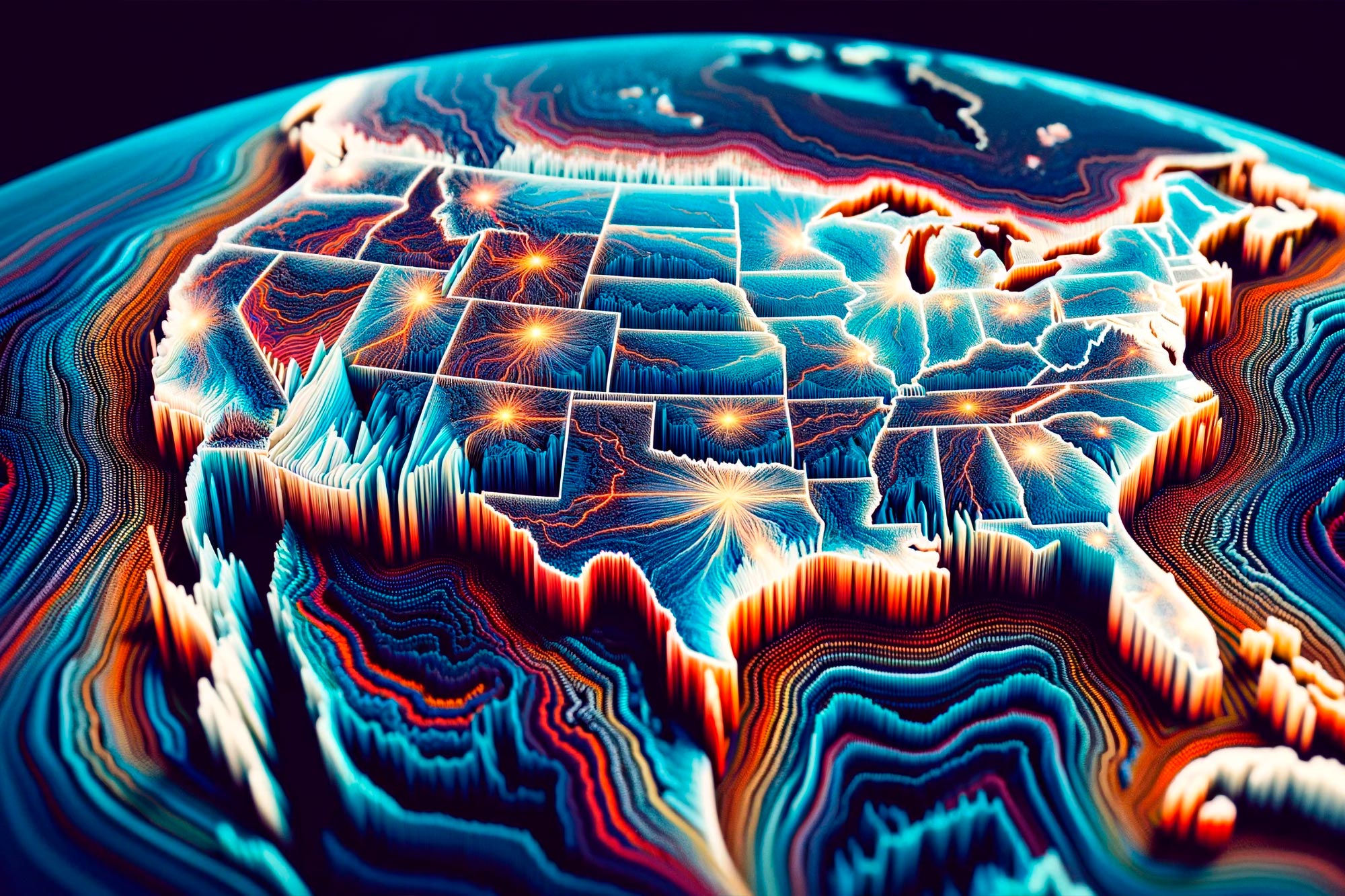
The research-based map is the first to display an updated, comprehensive National Seismic Hazard Model for all 50 states.
Nearly 75 percent of the U.S. could experience damaging earthquake shaking, according to a recent U.S. Geological Survey-led team of 50+ scientists and engineers.
This was one of several key findings from the latest USGS National Seismic Hazard Model (NSHM). The model was used to create a color-coded map that pinpoints where damaging earthquakes are most likely to occur based on insights from seismic studies, historical geologic data, and the latest data-collection technologies.
Enhancing Public Safety With the NSHM
The congressionally requested NSHM update was created as an essential tool to help engineers and others mitigate how earthquakes affect the most vulnerable communities by showing likely earthquake locations and how much shaking they might produce. New tools and technology identified nearly 500 additional faults that could produce a damaging quake, showcasing the evolving landscape of earthquake research.
“This was a massive, multi-year collaborative effort between federal, state, and local governments and the private sector,” said Mark Petersen, USGS geophysicist and lead author of the study. “The new seismic hazard model represents a touchstone achievement for enhancing public safety.”

Comprehensive 50-State Earthquake Assessment
The latest iteration, the first 50-state comprehensive assessment, was updated from previous versions published in 2018 (conterminous U.S.), 2007 (Alaska) and 1998 (Hawaii).
Noteworthy changes in the new model show the possibility of more damaging earthquakes along the central and northeastern Atlantic Coastal corridor, including in the cities of Washington D.C., Philadelphia, New York, and Boston. In addition, there is a chance for greater shaking in the seismically active regions of California and Alaska. The new model also characterizes Hawai‘i as having greater potential for shaking because of observations from recent volcanic eruptions and seismic unrest on the islands.
Advances in Earthquake Forecasting and Risk Assessment
“Earthquakes are difficult to forecast but we’ve made great strides with this new model,” said Petersen. “The update includes more faults, better-characterized land surfaces, and computational advancements in modeling that provide the most detailed view ever of the earthquake risks we face.”
Key findings from the updated seismic hazard model include:
- Risk to People: Nearly 75% of the U.S. could experience potentially damaging earthquakes and intense ground shaking, putting hundreds of millions of people at risk.
- Widespread Hazard: 37 U.S. states have experienced earthquakes exceeding magnitude 5 during the last 200 years, highlighting a long history of seismic activity across this country.
- Structural Implications: The updated model will inform the future of building and structural design, offering critical insights for architects, engineers, and policymakers on how structures are planned and constructed across the U.S.
- Unified Approach: This marks the first National Seismic Hazard Model to encompass all 50 states simultaneously, reflecting a massive collaborative effort with federal, state, and local partners.
- Not a Prediction: No one can predict earthquakes. However, by investigating faults and past quakes, scientists can better assess the likelihood of future earthquakes and how intense their shaking might be.
Reference: “The 2023 US 50-State National Seismic Hazard Model: Overview and implications” by Mark D Petersen, Allison M Shumway, Peter M Powers, Edward H Field, Morgan P Moschetti, Kishor S Jaiswal, Kevin R Milner, Sanaz Rezaeian, Arthur D Frankel, Andrea L Llenos, Andrew J Michael, Jason M Altekruse, Sean K Ahdi, Kyle B Withers, Charles S Mueller, Yuehua Zeng, Robert E Chase, Leah M Salditch, Nicolas Luco, Kenneth S Rukstales, Julie A Herrick, Demi L Girot, Brad T Aagaard, Adrian M Bender, Michael L Blanpied, Richard W Briggs, Oliver S Boyd, Brandon S Clayton, Christopher B DuRoss, Eileen L Evans, Peter J Haeussler, Alexandra E Hatem, Kirstie L Haynie, Elizabeth H Hearn, Kaj M Johnson, Zachary A Kortum, N Simon Kwong, Andrew J Makdisi, H Benjamin Mason, Daniel E McNamara, Devin F McPhillips, Paul G Okubo, Morgan T Page, Fred F Pollitz, Justin L Rubinstein, Bruce E Shaw, Zheng-Kang Shen, Brian R Shiro, James A Smith, William J Stephenson, Eric M Thompson, Jessica A Thompson Jobe, Erin A Wirth and Robert C Witter, 28 December 2023, Earthquake Spectra.
DOI: 10.1177/87552930231215428
Never miss a breakthrough: Join the SciTechDaily newsletter.
Follow us on Google and Google News.