Satellite data from CryoSat-2 and ICESat-2 reveals significant thinning of the Greenland Ice Sheet, impacting sea levels and weather patterns globally.
The combined radar and laser technology offers precise ice volume changes, crucial for climate change adaptation strategies.
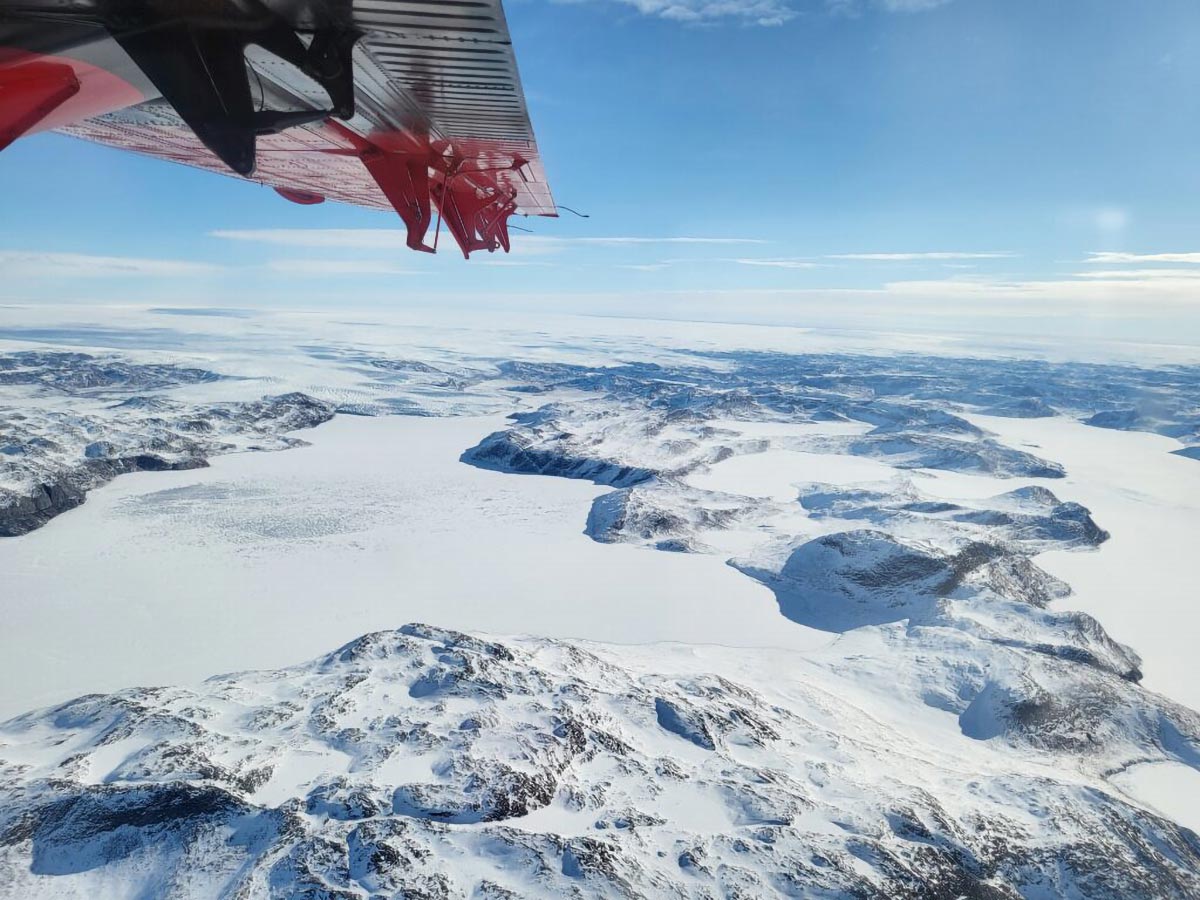
Satellite Monitoring of Greenland Ice Sheet
Researchers from Northumbria University are part of an international team using satellite data to monitor changes in the thickness of the Greenland Ice Sheet.
As global warming accelerates, the ice sheet melts and flows more rapidly, raising sea levels and disrupting weather patterns around the globe.
Accurate measurements of its changing size are crucial for understanding and adapting to the impacts of climate change.
Advancements in Ice Measurement Technology
For the first time, scientists have measured changes in the Greenland Ice Sheet’s thickness using data from CryoSat-2 and ICESat-2, satellite missions operated by ESA and NASA.
Both satellites use altimeters as their main sensors but rely on different technologies. CryoSat-2 uses radar, while ICESat-2 employs lasers, enabling complementary measurements of the ice sheet’s surface.
Animation showing where the Greenland Ice Sheet is thinning using data from two satellites Credit: Centre for Polar Observation and Modelling, Northumbria University
Complementary Satellite Missions Enhance Accuracy
Although radar signals can pass through clouds, they also penetrate into the ice sheet surface and have to be adjusted for this effect.
Laser signals, on the other hand, reflect from the actual surface, but they cannot operate when clouds are present.
The missions are therefore highly complementary, and combining their measurements has been a holy grail for polar science.
A new study from scientists at the UK Centre for Polar Observation and Modelling (CPOM), based at Northumbria University, and published in Geophysical Research Letters shows that CryoSat-2 and ICESat-2 measurements of Greenland Ice Sheet elevation change agree to within 3%.
This confirms that the satellites can be combined to produce a more reliable estimate of ice loss than either could achieve alone. It also means that if one mission were to fail, the other could be relied upon to maintain our record of polar ice change.
Dramatic Thinning Observed at Key Glaciers
Between 2010 and 2023, the Greenland Ice Sheet thinned by 1.2 meters on average. However, thinning across the ice sheet’s margin (the ablation zone) was over five times larger, amounting to 6.4 meters on average.
The most extreme thinning occurred at the ice sheets’ outlet glaciers, many of which are speeding up.
At Sermeq Kujalleq in west central Greenland (also known as Jakobshavn Isbræ), the peak thinning was 67 meters, and at Zachariae Isstrøm in the northeast peak thinning was 75 meters.
Altogether, the ice sheet shrank by 2,347 cubic kilometers across the 13-year survey period – enough to fill Africa’s Lake Victoria.
The biggest changes occurred in 2012 and 2019 when summer temperatures were extremely hot and the ice sheet lost more than 400 cubic kilometres of its volume each year.
Impact on Global Climate and Ocean Circulation
Greenland’s ice melting also affects global ocean circulation and disturbs weather patterns. These changes have far-reaching impacts on ecosystems and communities worldwide.
The availability of accurate, up-to-date data on ice sheet changes will be critical in helping us to prepare for and adapt to the impacts of climate change.
Lead author and CPOM researcher Nitin Ravinder said: “We are very excited to have discovered that CryoSat-2 and ICESat-2 are in such close agreement.
“Their complementary nature provides a strong motivation to combine the data sets to produce improved estimates of ice sheet volume and mass changes.
“As ice sheet mass loss is a key contributor to global sea level rise, this is incredibly useful for the scientific community and policymakers.”
Cryo2ice Campaign: A Leap in Ice Monitoring
The study made use of four years of measurements from both missions, including those collected during the Cryo2ice campaign, a pioneering ESA-NASA partnership initiated in 2020.
By adjusting CryoSat-2’s orbit to synchronize with ICESat-2, ESA enabled the near-simultaneous collection of radar and laser data over the same regions.
This alignment allows scientists to measure snow depth from space, offering unprecedented accuracy in tracking sea and land ice thickness.
Future Prospects in Polar Ice Monitoring
Tommaso Parrinello, CryoSat Mission Manager at ESA, expressed optimism about the campaign’s impact:
“CryoSat has provided an invaluable platform for understanding our planet’s ice coverage over the past 14 years, but by aligning our data with ICESat-2, we’ve opened new avenues for precision and insight.
“This collaboration represents an exciting step forward, not just in terms of technology but in how we can better serve scientists and policymakers who rely on our data to understand and mitigate climate impacts.”
Thorsten Markus, project scientist for the ICESat-2 mission at NASA, said: “It is great to see that the data from ‘sister missions’ are providing a consistent picture of the changes going on in Greenland.
“Understanding the similarities and differences between radar and lidar ice sheet height measurements allows us to fully exploit the complementary nature of those satellite missions.
“Studies like this are critical to put a comprehensive time series of the ICESat, CryoSat-2, ICESat-2, and, in the future, CRISTAL missions together.”
ESA’s CryoSat-2 continues to be instrumental in our understanding of climate-related changes in polar ice, working alongside NASA’s ICESat-2 to provide robust, accurate data on ice sheet changes.
Together, these missions represent a significant step forward in monitoring polar ice loss and preparing for its global consequences.
CPOM is a partnership of six universities and the British Antarctic Survey (BAS), based at Northumbria University, primarily funded by the National Environment Research Council (NERC) to provide national capability in observation and modeling of the processes that occur in the Polar regions of the Earth.
CPOM uses satellite observations to monitor change in the Polar regions and numerical models to better predict how their ice and oceans might evolve in the future.
By providing long-term capabilities to the scientific community and leading international assessments, CPOM helps global policymakers plan for the effects of climate change and sea level rise.
Reference: “Greenland Ice Sheet Elevation Change From CryoSat-2 and ICESat-2” by Nitin Ravinder, Andrew Shepherd, Inès Otosaka, Thomas Slater, Alan Muir and Lin Gilbert, 20 December 2024, Geophysical Research Letters.
DOI: 10.1029/2024GL110822
Never miss a breakthrough: Join the SciTechDaily newsletter.
Follow us on Google and Google News.
4 Comments
“As global warming accelerates, the ice sheet melts and flows more rapidly, …”
Where is the evidence that global warming is experiencing long-term acceleration? Why does it flow more rapidly? Why is the melting so localized, particularly on the west coast where the greatest loss has occurred? I would expect that if air temperature were responsible, the melting would be more uniform. Is geothermal heat responsible for the uneven melting?
So many questions, and so few explanations offered! Assertions alone don’t cut it.
The interior is showing about 1/2-meter of ice loss in a dozen years. What is the uncertainty of the surface measurements? Why isn’t that information a part of the animated graph?
There is a topographic offset on the east coast, with significant ice loss, that is about the same latitude as the area of greatest ice loss on the west coast. Do those two locations mark the ends of a major fault going through Greenland? If so, could there be warm water moving up along the fault because of the impermeable fault gouge?
So many questions, …
“impermeable fault gouge”. A sweeping statement. Have you drilled the fault gouge of your hypothetical fault systematically to demonstrate the alleged impermeablity?
One might imagine that the lower the altitude the warmer the air, as a generality. So one might suppose that them thar glaciers could be losing mass more quickly than the higher bits. And if there are subglacial rivers from meltwater sourced from higher altitudes that run-off could be melting the base of the glaciers leading to thinning further up the glacier as evident in the imagery.
And one could imagine that the local climate on the Davis Strait area of western Greenland could differ from that on the east coast of Greenland, hence different rates of thinning although I note that Zacchary’s ice-stream in the NE lost 75m in constrast to the Jacobshaven Isbrae in the west.
I have never personally drilled a fault line. However, I have on numerous occasions observed faults and the associated gouge in road-cuts, mine tunnels, and in the field. The fact that springs are commonly associated with faults is testimony that the fault gouge is not contiguous and does act to impede the movement of water.
The point I was making is that one would expect air temperatures (isotherms) controlled by the lapse rate would be parallel to the topographic contour lines. That isn’t what you see in the animation! The melting is localized in many locations, not corresponding to the air temperature isotherms.
You said, “One might imagine that the LOWER the altitude the warmer the air, as a generality. … And if there are subglacial rivers from meltwater sourced from HIGHER altitudes that run-off could be melting the base of the glaciers leading to thinning …” I think that you are contradicting yourself.