
New research shows that extreme rainfall increases follow expected temperature relations when rainfall types are separated, resolving a long-standing debate but reinforcing concerns about future flash flood risks under climate change.
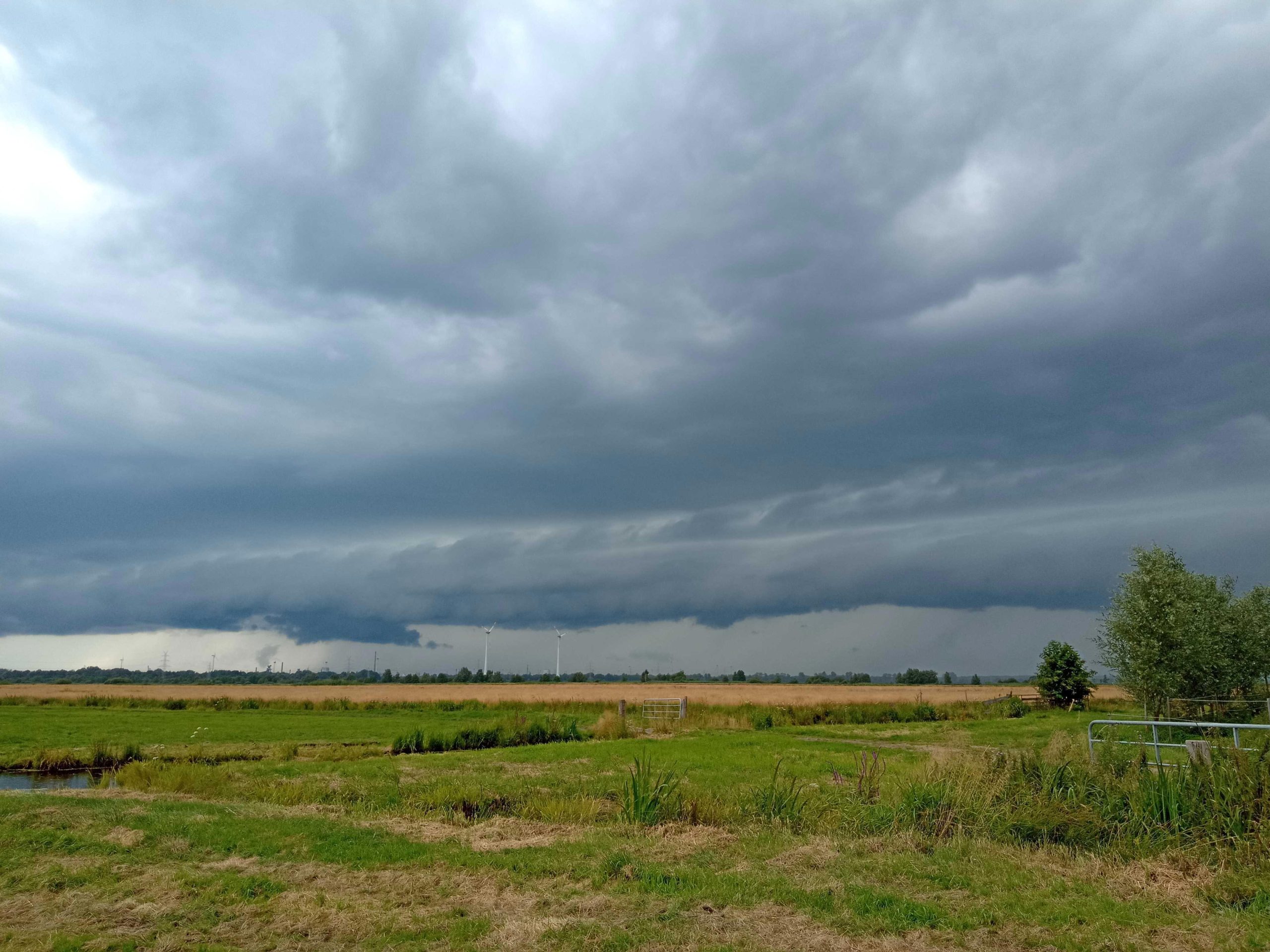
Extreme rainfall can lead to rapid and dangerous flooding known as flash floods. Understanding how such intense rainfall responds to rising temperatures has been a subject of research for decades. Scientists study this relationship using detailed rainfall and temperature records collected at short intervals, typically an hour or less.
Rain forms when water vapor in the atmosphere condenses into tiny droplets, which then combine to create raindrops. The Clausius-Clapeyron relation explains that warmer air can hold more moisture: for every 1°C increase in temperature, the air’s capacity for water vapor increases by approximately 7%. A helpful analogy is a sponge; the warmer it gets, the more water it can soak up. During an extreme rainfall event, it is as if the sponge is suddenly squeezed, releasing a large amount of water at once.
However, this simple model has been challenged. In 2008, a study by Lenderink and van Meijgaard analyzed long-term rainfall data from the Netherlands. Their findings showed that the increase in extreme rainfall, especially during thunderstorms, could exceed the 7% per degree predicted by Clausius-Clapeyron. Instead, they observed increases of up to 14% per degree Celsius, twice the expected rate, suggesting that additional factors may amplify rainfall intensity beyond basic thermodynamic principles.
New Data, Clearer Picture
In the past 17 years, the work by Lenderink and van Meijgaard, now cited more than 1000 times, has led to numerous investigations into the phenomenon, without being able to unambiguously confirm or reject the groundwork laid out by the Netherlands study. In particular, it was difficult to determine how far the blend of different rainfall types could give rise to statistical superpositions.
The current work takes a detailed look at two types of precipitation: (1) stratiform rainfall, which is continuous and uniform in intensity, and (2) short, intense rain showers that are typical of thunderstorms.
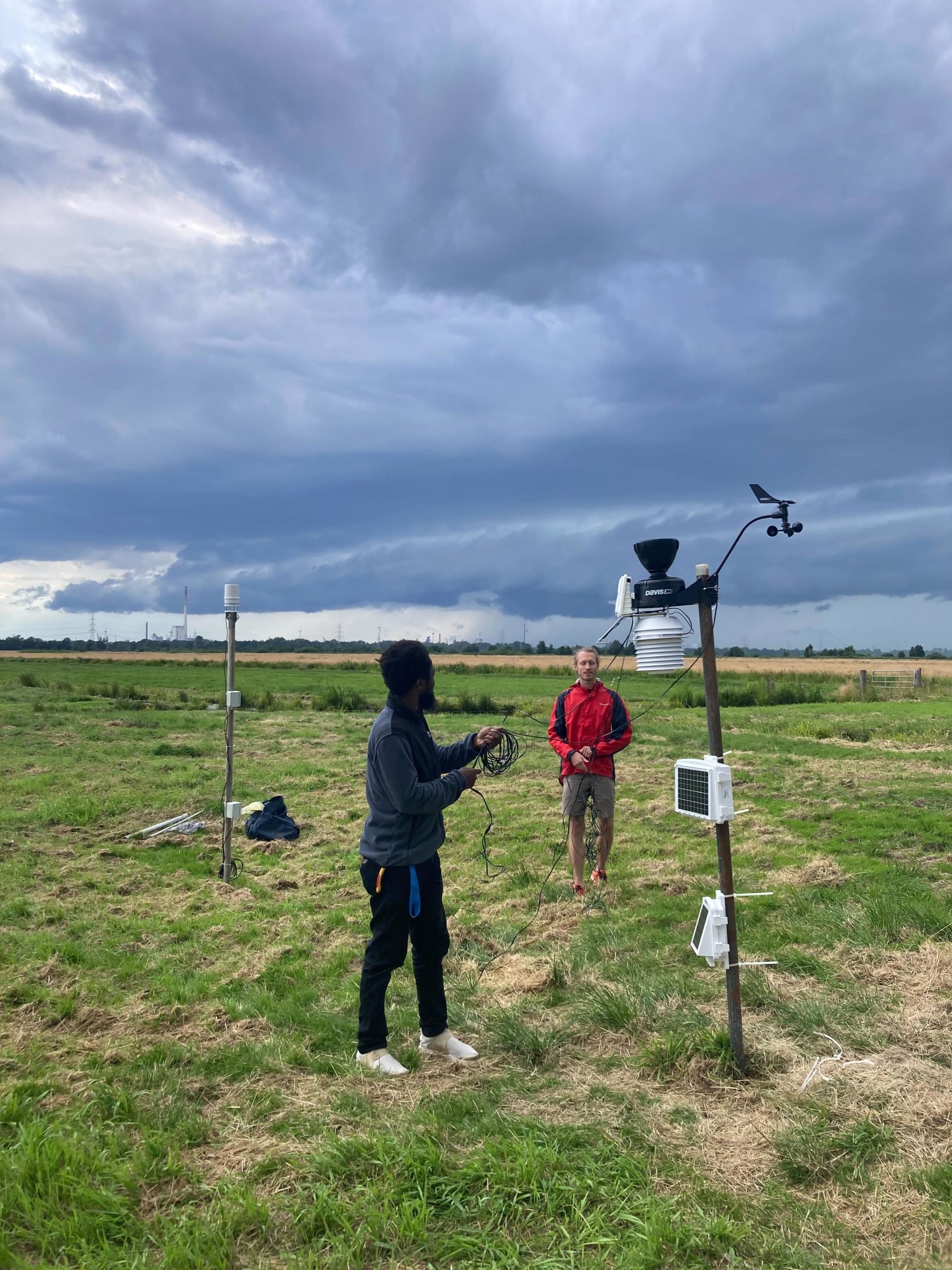
”We make use of a large and high-frequency dataset from Germany, which is combined with a novel lightning detection dataset. Since lightning indicates thunderstorm activity, stratiform rainfall can be separated in this way,” explains Nicolas Da Silva from the University of Potsdam.
“The result is rather striking: when carefully selecting only clear thunderstorm rainfall and studying the extremes at each temperature, the increase is almost perfectly along the Clausius-Clapeyron theory,” adds Jan O. Härter from the University of Potsdam, who is also affiliated with the Leibniz Centre for Tropical Marine Research (ZMT).
Resolving the Controversy
Equally, when selecting only for stratiform rainfall alone, the data fit the Clausius-Clapyron relation very well. Only when combining the statistics of both types of rainfall, much higher temperature increase rates emerge, as proposed in the study of Lenderink and van Meijgaard. The authors Da Silva and Härter state that this ’super-Clausius-Clapeyron’ increase is thus of purely statistical origin, such that a long-standing controversy may now finally be settled.
However, the current study points out that the statistical ‘super-Clausius-Clapeyron’ increase in rainfall extremes does apply to clusters containing both thunderstorm and stratiform clouds. Such cloud clusters are responsible for most of the extreme flash flood-inducing rainfall.
“Assuming the temperature changes projected for the coming decades under climate warming, extreme rainfall may indeed reach unprecedented risk levels for humans and infrastructure, especially in urban areas,” the authors stress.
Reference: “Super-Clausius–Clapeyron scaling of extreme precipitation explained by shift from stratiform to convective rain type” by Nicolas A. Da Silva, and Jan O. Haerter, 28 April 2025, Nature Geoscience.
DOI: 10.1038/s41561-025-01686-4
Never miss a breakthrough: Join the SciTechDaily newsletter.
Follow us on Google and Google News.
1 Comment
I think that this is a simplistic view of what happens. The Clausius-Clapeyron Relationship is an upper-bound. That is, it predicts the maximum absolute humidity expected for an air mass of a given temperature and is most likely to be observed over or near the oceans if there are no topographic features causing some of the water vapor to precipitate out. However, the humidity is often limited by the availability of water vapor, particularly over the interior of continents where the primary source is evapotranspiration in arid climates. In turn, precipitation can be limited by available condensation nuclei, which it why cloud seeding has been explored for decades. Mixing of air masses and differences at different altitudes can confound the measurements of the apparent absolute humidity.