New research shows that a fragile clay layer beneath the Japan Trench played a key role in the extreme seafloor movement during the 2011 earthquake.
Scientists have long known that the 2011 Tōhoku earthquake was enormous. What has been harder to explain is why the rupture reached so close to the seafloor that it shoved the ocean bottom upward enough to help generate a catastrophic tsunami.
A new study based on samples collected from the Pacific seafloor offers a clearer picture of what made that possible and why similar “worst case” scenarios may be easier to spot in other subduction zones.
The research was co-authored by NAU associate professor Christine Regalla of the School of Earth and Sustainability. At the Japan Trench, where an oceanic plate sinks beneath Japan, the team found that the main fault zone squeezes into an exceptionally thin, clay-rich band just below the seafloor.
Because this layer is weak and slick compared with the surrounding rock, it provided a ready-made surface for the 2011 “megathrust” rupture to follow all the way to the trench. The result was about 130 to 200 feet of shallow slip and widespread displacement of the seafloor, the kind of near-surface motion that can push a huge volume of water and intensify tsunami generation.
“That’s equivalent to the entire area between Los Angeles and San Francisco moving 130 to 200 feet in just six minutes,” Regalla said. “We’ve never seen anything like that in the time we’ve been observing earthquakes. Based on what we understood, we didn’t think that could happen.”
The paper, written by Regalla and more than a dozen collaborators from around the world, was published in the journal Science.
Why the 2011 Earthquake Was Different
Regalla explained that most earthquakes begin far below Earth’s surface, where tectonic plates typically break at great depths. As an example, the rupture that triggered the 6.8-magnitude Nisqually earthquake in the Pacific Northwest in 2001 started roughly 32 miles beneath the seafloor.
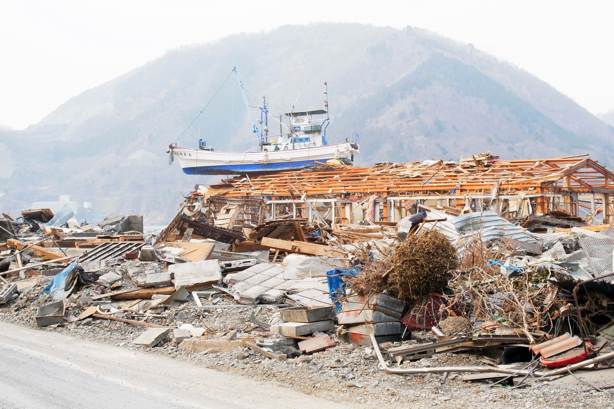
The 2011 event did not follow that pattern. The rupture along the Japan Trench occurred at a depth of only about 15 miles, placing it much closer to the seafloor. This shallow rupture produced a 9.1-magnitude earthquake and a powerful tsunami, making it one of the deadliest natural disasters in modern Japanese history. Nearly 20,000 people were killed, and the damage exceeded $200 billion.
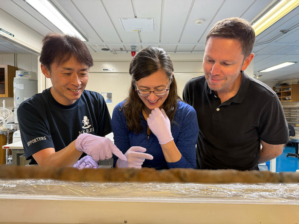
The discovery of the weak sediment layer came from an ambitious expedition led by Regalla and her colleagues aboard the research vessel Chikyu. The team drilled 26,000 feet into the ocean floor in the western Pacific and analyzed the recovered samples. Guinness World Records later recognized the project as the deepest scientific ocean drilling ever achieved.
The Role of Pelagic Clay
The sediment samples recovered from the drilling operation revealed a 100-foot-thick layer of pelagic clay, a very soft and slippery material formed from microscopic particles that slowly settled to the seafloor over millions of years. With stronger layers surrounding it, the clay acted like a natural “tear line” that concentrated the rupture along that surface.
“At the Japan Trench, the geologic layering basically predetermines where the fault will form,” said study co-author Patrick Fulton, an associate professor in the Department of Earth and Atmospheric Sciences at Cornell University. “It becomes an extremely focused, extremely weak surface, which makes it easier for ruptures to propagate all the way to the seafloor.”
Because the pelagic clay layer extends for hundreds of miles along the Japan Trench, the region may be more prone to shallow-slip earthquakes than previously recognized. That will be important for geologists to dig further into, Regalla said, because major natural disasters can have ripple effects beyond their countries of origin.
“An earthquake and tsunami in Japan doesn’t just impact people who live locally—it also impacts people at the ports and people who live across the ocean,” Regalla said. “Think about Hawaii: Their most devastating tsunamis come from Japan and Alaska. These are truly global events.”
Regalla said she and her co-authors hope their work will help scientists better understand and better forecast large-magnitude earthquakes and tsunamis by identifying the locations that are most susceptible. Policymakers could use those scientific findings to alter building codes, build earthquake-proof infrastructure, revise their evacuation plans and more, helping communities become more resilient.
“Japan is one of the world leaders in earthquake and tsunami preparation, but even they weren’t prepared for what happened in 2011,” Regalla said. “We all need to gain a better understanding of where these events might happen in the future. Only then can we make emergency plans that will keep everyone safe.”
Reference: “Extreme plate boundary localization promotes shallow earthquake slip at the Japan Trench” by J. D. Kirkpatrick, H. M. Savage, C. Regalla, S. Shreedharan, C. Ross, H. Okuda, U. Nicholson, K. Ujiie, R. Hackney, M. Conin, P. Pei, S. Satolli, J. Zhang, P. Fulton, M. Ikari, S. Kodaira, L. Maeda, N. Okutsu, S. Toczko, N. Eguchi, Expedition 405 Scientists†, P. Bellanova, C. Brown, M. Brunet, M. R. Castillo, Y.-C. Chang, M.-L. Doan, J. Everard, A. Fintel, J. Ford, R. Fukuchi, A. Gough, H. Guo, D. Gürer, M. Hagino, Y. Hamada, H. Hosono, M.J. Jurado, A. Ijiri, T. Ishikawa, M. Iwai, T. Jeppson, N. Kamiya, T. Kanamatsu, A. LaPlante, W. Lin, A. Miyakawa, Y. Morono, Y. Nakamura, C. Pizer, T. Rasbury, R. Robertson, K. Schaible, H. Sone, C. Sun, T. Uchida, P. Vannucchi, A. Yamaguchi, Y. Yamamoto and T. Yoshimoto, 18 December 2025, Science.
DOI: 10.1126/science.ady0234
Never miss a breakthrough: Join the SciTechDaily newsletter.
Follow us on Google and Google News.